
Khao Phra Wihan National Park
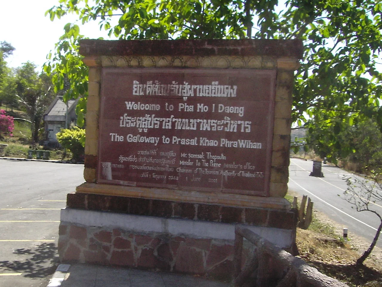
A red stone cliff called Pha Mo I Daeng rises more than 500 metres above the Cambodian plain — its very name meaning something like the Red Cliff of the Unconstrained. From the top, you look out over two countries at once. The stone beneath your feet belongs to Thailand; the ancient temple ruins visible just across the ridge belong, by ruling of the International Court of Justice since 1962, to Cambodia. Between these two facts lies a story that has never been fully resolved, a boundary that nations and armies have argued over for decades, and a landscape of dry forests and carved sandstone that has outlasted every dispute so far.
Temple at the Edge of the World
Khao Phra Wihan National Park was established on 20 March 1998, covering 130 square kilometres on the southern edge of the Khorat Plateau. The park's reason for being is its position: it forms the Thai approach to Prasat Preah Vihear, a Khmer Empire temple complex that was built across the 10th and 11th centuries in a style of almost reckless grandeur. The temple name is a fusion of Sanskrit and Pali — *prasat* for castle, *phra* for excellent, *wihan* for sanctuary — while the mountain itself, *khao*, simply means hill. Temple Hill. The name is modest for what it protects.
Visitors who arrive from the Thai side pay entrance fees at the park and then, when diplomatic relations permit, can continue across to the temple ruins under Cambodian jurisdiction. Cambodia does not require a visa for this crossing. The arrangement has always been complicated by the fact that a 4.6 square kilometre zone surrounding the temple remains disputed territory. Both countries claim it.
The Rock Art That Predates the Temple
In 1987, rangers from a Border Protection Unit discovered something that shifted the timeline of human activity here even further back. On the face of Pha Mo I Daeng, they found two groups of bas-relief images and engravings. Archaeologists dated these to approximately the 10th century — which would place them at roughly the same period as the first construction at Preah Vihear, or possibly earlier.
The carvings are now one of the park's most compelling attractions. Access requires descending a staircase to a gate, where the figures are clearly visible despite sections that have flaked away from the cliff face. The gate protects what remains. Standing at it, looking at images made by hands more than a thousand years ago on a cliff that now marks an international frontier, the layers of time press against each other with unusual force.
When UNESCO Changed Everything
In 2007, Cambodia nominated Preah Vihear for UNESCO World Heritage listing. The move did not go smoothly. Thailand objected on the grounds that border demarcation remained unresolved, and the World Heritage Committee initially deferred the decision. A joint survey process collapsed when Thai experts walked out, citing what they called scientific inaccuracies in Cambodia's documentation. Cambodia proceeded alone, and in 2008 the temple was listed.
The listing triggered an armed standoff. Thai and Cambodian troops faced each other across the ridge for months. In July 2011, the International Court of Justice ordered both countries to withdraw military forces from the area — a vote of 11 to 5. Soldiers pulled back. The park reopened. Landmines in certain areas are still clearly marked, a reminder that the resolution has been partial at best.
Forest Between Two Countries
The park's 130 square kilometres are not only about stone and sovereignty. Dry evergreen forest, mixed dipterocarp forest, and deciduous dipterocarp cover most of the terrain, sheltering trees such as *Pterocarpus macrocarpus*, *Shorea siamensis*, and *Xylia xylocarpa var. kerrii*. Wildlife here does not respect the border: wild hogs, barking deer, rabbits, squirrels, gibbons, and civets move between Thailand and Cambodia through the same forest.
Elsewhere in the park, a three-tiered waterfall above Khun Sri Cave draws hikers, while a pair of red sandstone Twin Stupas — each 1.93 metres square and 4.20 metres high, capped with lotus-bud finials — stand as quieter monuments. The Don Tuan Khmer Ruins, built in the same era as Preah Vihear, sit 350 metres across the Cambodian side of the watershed ridge but are accessible only by road from Thailand. Legend holds that a noblewoman named Nang Nom Yai stopped there to rest while travelling to meet a king.
An Unfinished Argument
The International Court of Justice first ruled on Preah Vihear in 1962, awarding the temple to Cambodia. Thailand accepted the verdict but contested the interpretation of what territory came with it. That argument has continued through armed standoffs, international hearings, and diplomatic freezes across six decades.
For visitors, the park offers something rare: a landscape where ancient civilisation and modern geopolitics occupy the same ground simultaneously. The ruins do not belong to one country's narrative. The forest holds animals that belong to neither. The cliff has been here longer than any of the claims laid upon it. Standing at the edge of Pha Mo I Daeng, watching the Cambodian plain stretch south into haze, it is easy to understand why people have always fought over this place — and harder to understand why.
From the Air
Khao Phra Wihan National Park sits at approximately 14.445°N, 104.733°E on the Dângrêk escarpment where Thailand meets Cambodia. The cliff edge of Pha Mo I Daeng is the defining landmark, a dramatic drop visible from altitude as the plateau gives way to the Cambodian lowlands. Recommended viewing altitude: 3,000–5,000 feet for terrain context. Nearest airports: Sisaket Airport (KKC area) is roughly 100 km north; Surin Airport (PXR) approximately 110 km northwest. The international border runs along the ridge; maintain appropriate airspace awareness. Forest cover and cliff formations are clearly visible from low passes. Avoid operating in restricted airspace near the Cambodia-Thailand border zone.
Nearby Stories
- Emerald Triangle (Southeast Asia) 21 km away
- Sisaket 47 km away
- Koh Ker 51 km away
- Pak Mun Dam 69 km away
- Khong Island 78 km away
- Cambodian Landmine Museum 79 km away
- Angkor Thom 120 km away
- Ban Chiang 319 km away