
Knightstown, County Kerry
The terrace of pastel houses along the waterfront at Knightstown looks too orderly to be entirely accidental, and it isn't. The village was laid out in the 1830s by the engineer Alexander Nimmo on land belonging to the Knight of Kerry, who lent his title to the name. The result is one of the few formally planned villages on Ireland's Atlantic coast, with a single broad street running down to the pier, a clock tower at the end, and gentle rows of houses keeping a respectful distance from the harbour. As of the 2022 census the population is 244, which is somehow exactly right for what the place is.
The Day the World Got Smaller
In the summer of 1858, the steamer Niagara nosed into Knightstown harbour trailing a coil of insulated copper as thick as a man's wrist. This was the second attempt at a transatlantic telegraph cable; the first, the year before, had broken in deep water. The 1858 line carried only a few faint messages, including one famously slow exchange of compliments between Queen Victoria and President Buchanan, before its insulation failed. But the principle had been proved. By 1866, after further attempts, a working cable had been laid from Foilhommerum Bay at the western end of Valentia Island to Heart's Content, Newfoundland. Knightstown remained the operational hub. A cable station functioned in the village for one hundred years, finally closing in 1966. The local heritage museum keeps the story alive, with original equipment, photographs, and short lengths of the cable itself.
Ferries, Lifeboats, and Tidy Towns
The Valentia Island car ferry runs from a slip at the eastern edge of the village across to Reenard Point on the mainland from April to October, a five-minute crossing on a flat day and a slightly more atmospheric one in a westerly gale. The RNLI lifeboat station moved here from Reenard Point in 1869 and has been known ever since as the Valentia Lifeboat Station; one of the boathouses, and the all-weather lifeboat John and Margaret Doig, are still based in the village. Knightstown also competes with cheerful seriousness in the annual Tidy Towns competition, where it routinely scores well for the cleanliness of its streets and the quality of its public spaces.
Coffee, Pubs, and Two Churches
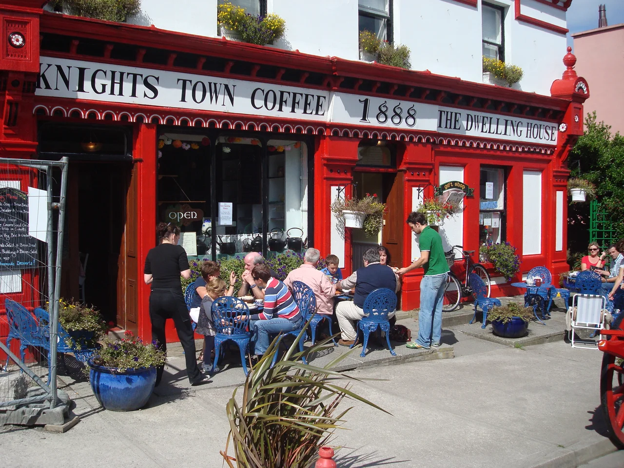
For a village of 244 people, Knightstown has a comfortable plurality of places to sit. There are coffee shops along the main street, a couple of bars where the conversation tends to drift toward boats, and both a Roman Catholic and a Church of Ireland church, each modest in scale and old enough to have its own quiet personality. The R565 road, the regional route that runs the length of the Iveragh Peninsula, passes through the village on its way to the ferry. Most days the loudest sound is the slap of harbour water on the pier wall, or a small Connemara pony being walked along the quay.
Light, Slate, and Sea
The townland in which Knightstown sits is called Farranreagh. The slate roofs around the harbour came from the famous Valentia slate quarry just up the road, which once supplied roofing for the British Museum and the Houses of Parliament. The light here is the light of the far west of Ireland: changeable, sharp after rain, and tipped toward the Atlantic in a way that makes the eastern view, back toward the mainland mountains, sometimes feel like the unfamiliar direction. From the end of the pier, on a clear evening, the line of the Iveragh hills rises in silhouette across the channel, and the ferry threads between.
From the Air
Knightstown sits at 51.93 N, 10.29 W on the eastern tip of Valentia Island. Best viewed at 1,500-3,000 ft. The pastel terrace along the waterfront and the small clock tower at the pier are the village's most identifiable features from the air. Look for the car ferry crossing to Reenard Point on the mainland to the east, and the Maurice O'Neill Memorial Bridge at the southwest end of the island. Nearest airport is Kerry (EIKY), 38 nm northeast. Atlantic weather can be changeable; clear mornings are common, with cloud often building in the afternoon.
Nearby Stories
- 1955 RAF Shackleton aircraft disappearance 3.8 km away
- Ballynavenooragh 5.4 km away
- French Expedition to Ireland (1796) 9.4 km away
- Tralee 12 km away
- Uragh Stone Circle 18 km away
- The Laki Eruption: The Volcano That Changed World History 1385 km away
- The Northern Lights: The Sky Show That Vikings Thought Was Bridge to the Gods 1487 km away
- Sao Miguel 1921 km away