
Konso
From a distance the hills around Konso look as though a giant had run a comb across them. The slopes are stepped, ridge after ridge of dry-stone terracing climbing toward fortified towns on the heights. This is not landscaping. It is survival engineering, four centuries of it, built stone by stone by the Konso people to hold soil and water on hard, dry ground that would otherwise wash away. The work is so accomplished that in 2011 UNESCO inscribed the Konso Cultural Landscape on the World Heritage List, a 230-square-kilometre testament to what a community can wring from an unforgiving environment when its knowledge is passed down, generation to generation, for more than twenty generations running.
Walls Against the Sky
The Konso terraces are the signature of the landscape, dry-stone walls that contour the hills and in places rise as high as five metres. They trap the rare rains, slow erosion, and turn steep slopes into farmland. Crowning the ridges are the paleta, the walled hilltop villages, each ringed by as many as six concentric stone walls standing several metres high and entered through ceremonial gates. Inside, thatched community houses cluster around tall generation poles cut from sacred forest. The whole arrangement is at once defensive and social, a fortress and a town hall, organized around a system of age-grades and shared labor. Building and maintaining all this demanded cooperation on a scale that the landscape itself records: every wall is a ledger of collective effort, written in basalt.
The Watchers in Wood
Konso is famous beyond Ethiopia for its waga, anthropomorphic statues carved from hardwood to honor the dead. A waga is raised for a man of distinction, and it rarely stands alone. The carvings are grouped to portray the deceased alongside his wives and the enemies or dangerous animals he overcame, a small assembly in wood that turns a grave into a story. The faces are stylized, often with prominent teeth and watchful eyes, and weathered by decades in the open. These funerary traditions are increasingly rare, and UNESCO singled them out as a living testimony on the verge of vanishing. To come upon a cluster of waga on a hillside is to meet a community's memory made visible, its heroes still keeping watch over the land they worked.
Marking the Generations
Time in Konso is counted in stone as well as wood. Across the towns stand commemorative steles, raised to mark the passing of leadership from one generation to the next within the Konso's elaborate age-grade system. Each marker records a handover of responsibility, a moment when the elders cede authority to those coming up behind them. Read together, the steles trace the political memory of a society across centuries. The land around the town carries older marks too: archaeological sites where human remains and fossils from prehistoric eras have surfaced, and a dramatic eroded canyon that local guides have nicknamed "New York" for its towering, building-like spires of sediment. Nearby hot springs add another layer to a landscape already dense with meaning.
A Town at the Crossroads
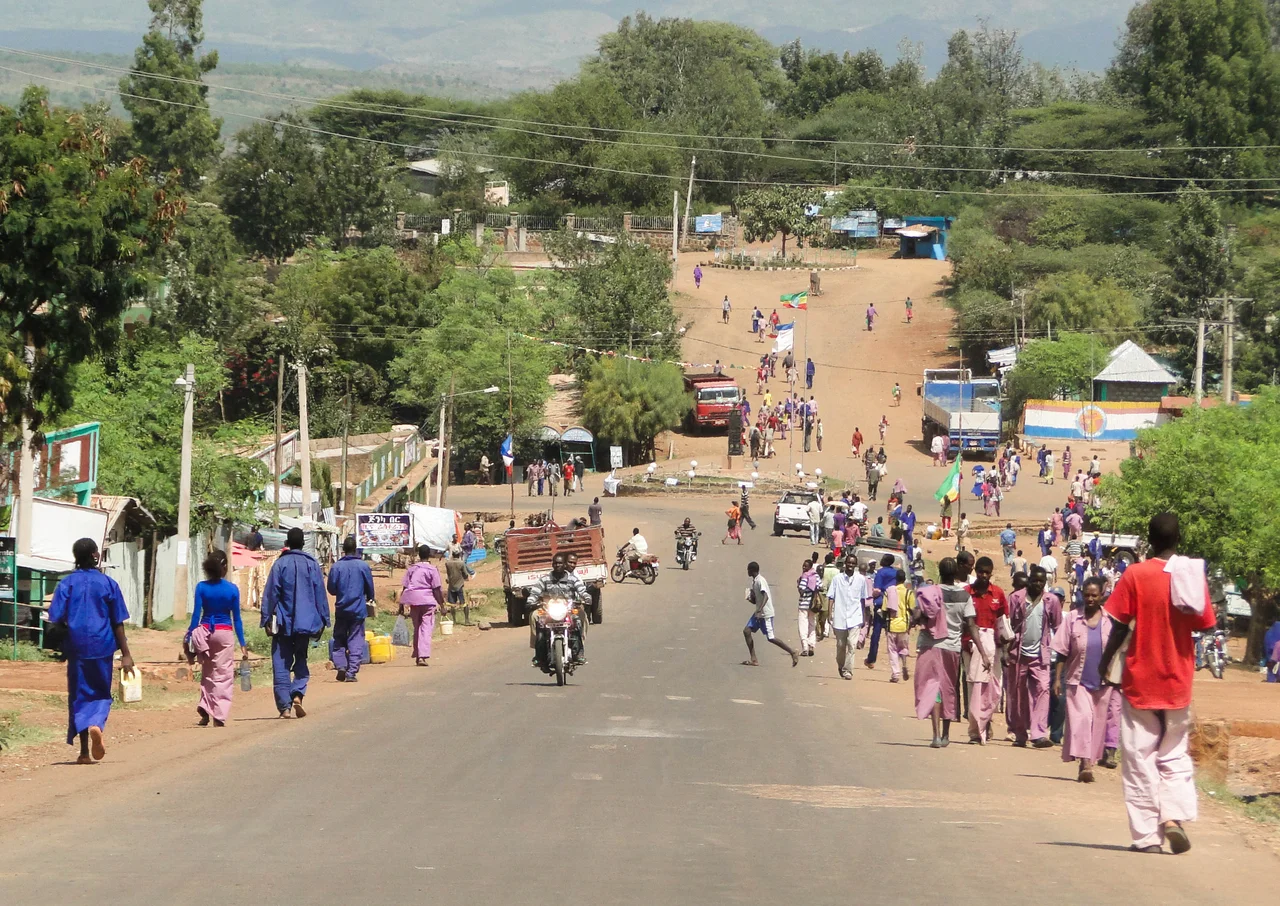
The town of Konso itself is modest, built around a roundabout and serving as the central market for the region, with trading days that draw the surrounding villages in. It sits at a junction of routes, linked by bus to Arba Minch in the north and connected to the Omo Valley towns of Jinka and Key Afer to the west. Travelers often pass through on the way to somewhere else, pausing to climb the hill to a cultural village and take in the terraces. But Konso rewards a slower look. Behind the ordinary roundabout and the unreliable water supply lies one of Africa's great feats of vernacular engineering, still inhabited, still farmed, still maintained by the people whose ancestors raised every wall. It is a living landscape, not a monument left behind.
From the Air
Konso lies at 5.25°N, 37.48°E in southern Ethiopia, on the highlands east of the Omo Valley. The nearest airfields are Arba Minch Airport (ICAO HAAM / IATA AMH) to the north and Jinka (Baco) Airport (HABC / BCO) to the west, both gateways to the region. From the air the terracing is the giveaway: hillsides combed into thousands of stepped contour lines, with the fortified hilltop villages and their dark stone walls standing out against the cultivated slopes. The eroded "New York" canyon shows as a maze of pale sediment spires nearby. Clearest viewing is in the dry season, roughly November through February.
Nearby Stories
- Lower Valley of the Omo 30 km away
- Nech Sar National Park 60 km away
- Gedeo Cultural Landscape 78 km away
- Omo remains 106 km away
- Omo National Park 134 km away
- Koobi Fora 176 km away
- Bale Mountains National Park 232 km away
- Marsabit 288 km away