La Grange Dam
Most dams announce themselves - massive concrete arcs visible for miles, reservoirs gleaming behind them. La Grange Dam does the opposite. Sitting just two miles downstream of the New Don Pedro Dam and its 13,000-acre reservoir, La Grange is the workhorse nobody notices: a 131-foot masonry-gravity diversion dam completed in 1893, back when the Turlock and Modesto Irrigation Districts were still convincing skeptical farmers that irrigation could transform the dry San Joaquin Valley into productive farmland. Those farmers were convinced. Today, La Grange Dam diverts an average of 885,000 acre-feet of Tuolumne River water each year into a canal system that irrigates some of the most productive agricultural land in the world. It also feeds San Francisco's drinking water supply, generates hydroelectric power, and maintains the river flows that keep salmon and steelhead alive downstream. For a structure most people drive past without a second glance, it does an extraordinary amount of work.
Stone by Stone
La Grange Dam was a feat of nineteenth-century engineering ambition. When the Turlock and Modesto Irrigation Districts began construction, large-scale irrigation in California's Central Valley was still more theory than practice. The dam rose as a masonry-gravity structure - stone and mortar relying on its own weight to hold back the Tuolumne River, a design philosophy older than Rome. Completed in 1893, it stood as a commitment to an agricultural future that was far from certain. The surrounding country was dry foothill grassland, and plenty of observers doubted that canal water could turn it into anything worth farming. They were wrong. The irrigation districts that La Grange Dam served would grow into two of the most successful in California, and the canals it feeds now distribute water across hundreds of square miles of orchards, row crops, and dairy operations in the valley below.
The Great Divide
Every year, nearly 900,000 acre-feet of water reaches La Grange Dam from Don Pedro Reservoir upstream, and the dam splits it with bureaucratic precision. About 575,000 acre-feet flows through the Turlock Irrigation District's canal on the south bank to Turlock Lake. Another 310,000 acre-feet enters the Modesto Irrigation District's canal on the north side, heading for Modesto Reservoir. These two canals, branching from opposite banks of the Tuolumne, created the template for irrigated agriculture in the eastern San Joaquin Valley. An additional 230,000 acre-feet goes to San Francisco's Hetch Hetchy Water and Power system, serving the Bay Area's drinking water needs. And roughly 780,000 acre-feet continues down the Tuolumne River channel itself, maintaining flows through 52 miles of the Lower Tuolumne to its confluence with the San Joaquin River and into the Sacramento-San Joaquin Delta. Every drop is allocated. Nothing is wasted, and nothing goes unclaimed.
Power on the Bank
Tucked against the east bank of the Tuolumne, a small hydroelectric power station draws water diverted by the dam to generate four megawatts of electricity. It is modest output by modern standards - enough to power roughly 3,000 homes - but the plant, operated by the Turlock Irrigation District, represents a principle that has guided the district since its founding: extract every possible use from every available drop. The same water that turns the turbines here will flow downstream to irrigate fields, and the electricity produced offsets the energy costs of pumping water through the district's canal network. This kind of stacked utility - one resource serving multiple purposes in sequence - defines California's water infrastructure at its best. La Grange Dam and its power station exemplify the approach, achieving through clever engineering what the state's limited water supply cannot do through abundance alone.
Quiet Partner in a Loud System
California's water wars are famous for their drama - courtroom battles, political campaigns, entire towns swallowed by reservoir construction. La Grange Dam has largely avoided the spotlight. It sits in the shadow of the much larger New Don Pedro Dam upstream, which impounds the sixth-largest reservoir in the state and regularly features in debates about Hetch Hetchy, salmon restoration, and drought allocation. But without La Grange Dam's diversion canals, Don Pedro's stored water would simply flow past the farmland it was meant to serve. The dam is the distribution point, the place where stored water becomes irrigation water, drinking water, and river flow. Built when Grover Cleveland was president and still functioning more than 130 years later, La Grange Dam does what the best infrastructure does: it works so reliably that people forget it exists, diverting a river to feed a valley while the arguments about who deserves the water rage on above.
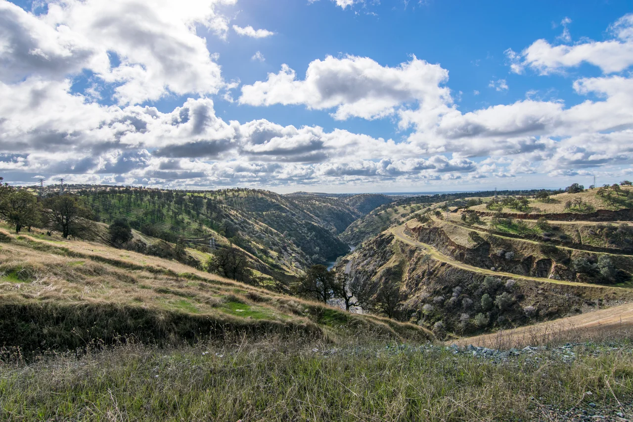
From the Air
Located at 37.67°N, 120.44°W on the Tuolumne River in Stanislaus County, California, approximately two miles downstream of the much larger New Don Pedro Dam. The dam is visible as a low masonry structure spanning the river, with diversion canals branching to the north (Modesto Irrigation District) and south (Turlock Irrigation District). The small community of La Grange sits nearby. Modesto City-County Airport (KMOD) is approximately 30 miles west. The dam sits at roughly 300 feet elevation in the foothill transition zone between the Sierra Nevada and the San Joaquin Valley.
Nearby Stories
- Ferguson Fire 5.9 km away
- Fifteen Minutes at UC Merced 8.5 km away
- Gwen Araujo and the Law She Changed 23 km away
- Coarsegold, California 26 km away
- The Spinach Riot 42 km away
- Indian Grinding Rock State Historic Park 55 km away
- Mount Hamilton (California) 63 km away
- Mono Lake 77 km away