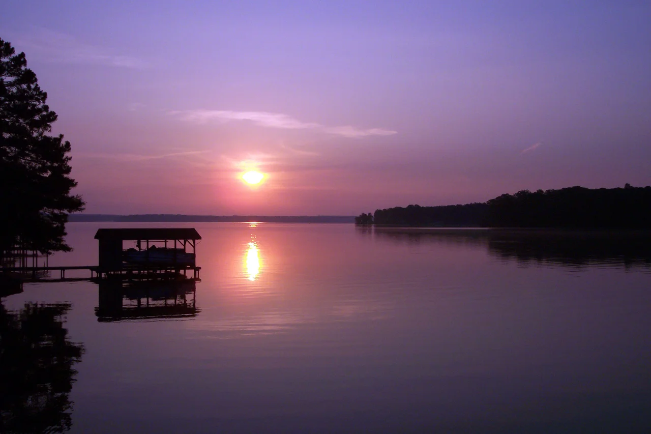

Lake Gaston
Stand on the dam at the south end and you can hear the river working. Four turbines, 224 megawatts, the kind of low hum that vibrates through the catwalk and into your shoes. Behind you, twenty thousand acres of water bend through the pine country of two states, threaded with three hundred and fifty miles of coves and creek-arms. In front of you, the Roanoke River drops into a smaller pool and keeps moving toward the sea. Lake Gaston was built to make electricity, but for the people who live along its shoreline, the electricity is almost an afterthought. What they built, accidentally, was a lake culture.
The River Tamed Twice
The Roanoke River runs hard out of the Appalachians, and for most of the twentieth century engineers tried to slow it down. Kerr Lake came first, then Roanoke Rapids Lake below it. In 1963, the Virginia Electric Power Company - VEPCO, now Dominion Energy - finished Gaston Dam on the North Carolina side and the middle reservoir filled in behind it. This stretch of the river now holds three hydroelectric dams in close formation, a rare cluster for the American East. The water level on Lake Gaston barely moves: a federal license keeps it within a few feet, year-round, so the docks don't pull loose and the boathouses stay put. That sounds like bureaucracy. In practice it is the reason fixed piers became the norm and weekend cabins turned into year-round houses.
Two States, One Lake
The state line cuts across the water at an angle, and the lake doesn't care. Five counties touch its shoreline - Halifax, Northampton, and Warren in North Carolina; Brunswick and Mecklenburg in Virginia - and a single fishing license, bought on either side, is honored everywhere on the lake by reciprocal agreement. Real estate agents have invented their own geography to make sense of the sprawl, breaking the lake into four quadrants they call North-East, North-West, South-East, and South-West. The towns are small: Littleton and Henrico in North Carolina, Bracey and Gasburg in Virginia. Nobody actually owns waterfront land in the legal sense - Dominion owns the lake up to the high water mark - but homeowners do own the right to lean a boathouse out over the water, with the company's permission.
Striper Country
Fishermen come for the striped bass. North Carolina's Wildlife Resources Commission stocks them, and they grow heavy in the deep central channel of the old river bed. Largemouth bass, crappie, white perch, chain pickerel - the lake holds them all, and tournament boats launch most weekends out of Eaton Ferry Marina near Littleton. The state records read like a folk catalog. A North Carolina record chain pickerel, eight pounds, caught on a minnow in February of 1968. A Virginia record saugeye, six pounds, taken on a crankbait on May 29, 2023. Walleye get stocked annually by Virginia. The water warms early because the lake is shallow by reservoir standards, and the summer noise of ski boats and wakeboards has its own rhythm, broken at dawn and dusk by the slap of a striper hitting the surface.
The Pipeline Wars
Not all of the lake's history is recreational. Through the 1980s and 1990s, the city of Virginia Beach fought a long legal battle for permission to pull water from Lake Gaston through a 76-mile pipeline to its growing coast. North Carolina argued the diversion would hurt the river downstream and the striped bass fishery in the Albemarle Sound. The case went up to the Supreme Court and back. Eventually the pipeline was built, and Virginia Beach drinks Roanoke River water today. The fight left a bitter aftertaste in some of the lakeside communities, a reminder that the water on which their lives now depend was never quite theirs to begin with - it belonged to a power company, to a federal commission, and ultimately to a river still running its old course beneath the placid surface.
From the Air
Lake Gaston sits at roughly 36.51 degrees North, 77.88 degrees West, straddling the North Carolina-Virginia border about sixty miles northeast of Raleigh-Durham. From cruise altitude the lake reads as a long, branching slash of water angled west-southwest to east-northeast, with Kerr Lake clearly visible upstream to the west and the much smaller Roanoke Rapids Lake just below the dam. The nearest tower-controlled fields are Raleigh-Durham (KRDU) to the southwest and Richmond (KRIC) to the northeast; general aviation traffic typically uses Halifax-Northampton Regional (KIXA) just south of the lake. Recommended viewing altitude is 4,500 to 6,500 feet AGL on a clear day - low enough to see the boathouses peppering the coves and the dam structure on the southeast end.
Nearby Stories
- North Carolina Tornado Outbreak of April 2014 6.8 km away
- Nat Turner's Rebellion 17 km away
- Chowan University 22 km away
- Hope Plantation 29 km away
- Granville County, North Carolina 30 km away
- Purefoy-Dunn Plantation 31 km away
- Francisco's Fight 47 km away
- Red Hill Patrick Henry National Memorial 55 km away