
Leicester City Centre
Walk into Leicester from any direction and you eventually arrive at the High Cross, the central crossroads of the medieval town - which is to say, the central crossroads of the Roman town, which was built where it was because the Fosse Way, the great Roman military road from Lincoln to Exeter, crossed the River Soar at that point. The Iron Age tribe whose lands the Romans took had been the Corieltauvi; the Romans politely incorporated their name into the new town and called it Ratae Corieltauvorum. The name dropped away. The crossing point stayed. Two thousand years of city-building have layered themselves on top of the same spot, and an unusual number of those layers are still visible - a Roman wall here, a Norman castle there, a medieval gateway you can still walk through, a Victorian clock tower at the modern roundabout, a glass-and-steel shopping mall opened in 2008. Leicester city centre is a small, walkable, frequently surprising compression of two millennia of urban habit.
The Roman Town Underneath
The Romans laid out Ratae Corieltauvorum in the standard provincial grid: a forum at the centre, walls and gates around the perimeter, public baths, a basilica, a network of streets running roughly north-south and east-west. The medieval walls that came later followed approximately the same line. The Roman bath complex, partly excavated in the 1930s, is still visible at Jewry Wall on the western edge of the city centre. The Roman forum once stood near where the modern inner ring road meets St Nicholas' Circle. The east gate of the medieval and Roman town was at the eastern end of the modern High Street - the street name 'Eastgates' is the last trace. The north gate stood at the head of Highcross Street, the west gate near West Bridge, and the south gate in what is now Friar Lane. The walls themselves are largely gone, but a small section survives in the churchyard of St Mary de Castro, hard against Leicester Castle. The High Cross was at the junction of the modern High Street and Highcross Street, though the medieval street grid used different names: what is now High Street was Swinesmarket, while what we call Highcross Street was, in medieval times, simply High Street.
Medieval Layers and a Newarke
Leicester Castle anchored the southwestern corner of the medieval town, on the eastern bank of the Soar. Just south of the castle was the Newarke - the New Work - a separately walled quarter created in the 14th century to expand the castle's precinct. The Newarke Gateway, now known as the Magazine because it served as an arms store during the Civil War, is the only complete medieval gateway remaining in Leicester; it now sits stranded on a traffic island in the middle of the modern ring road, surrounded by university buildings. Leicester Cathedral - elevated to cathedral status only in 1927, and still functioning as the parish church of St Martin's for centuries before that - and the Guildhall occupy what was the central civic area of the medieval town. The Guildhall, parts of it dating to around 1390, is one of the best-preserved medieval timber-framed civic buildings in England. The town's main gates were sold and demolished in the late 18th century because they had become an impediment to traffic - a 200-year-old echo of arguments that British towns still have about removing historic infrastructure for the convenience of motor vehicles.
Victorian Pivot Eastward
The shape of Leicester's modern centre is the result of a 19th-century decision to move the focal point of the city eastward, away from the river. The Haymarket Memorial Clock Tower roundabout, built in 1868 to commemorate four civic worthies, sits at the intersection of what were historically the London-Manchester, Birmingham-Yarmouth, and Fosse Way routes - a five-way junction that became the de facto Victorian heart of the city. The Corporation of Leicester built a new Town Hall in 1876 in the Market Street area, facing onto a newly created Town Hall Square just outside the old walled town. The market itself, indoor and outdoor, settled to the southwest of the clock tower. The result is a city centre with two centres: the medieval/Roman one in the west, around the castle and cathedral, and the Victorian one in the east, around the clock tower and Town Hall Square. They are linked by Gallowtree Gate, the main pedestrianised shopping street, running southeast from the clock tower down to Granby Street and the railway station.
Modern Leicester
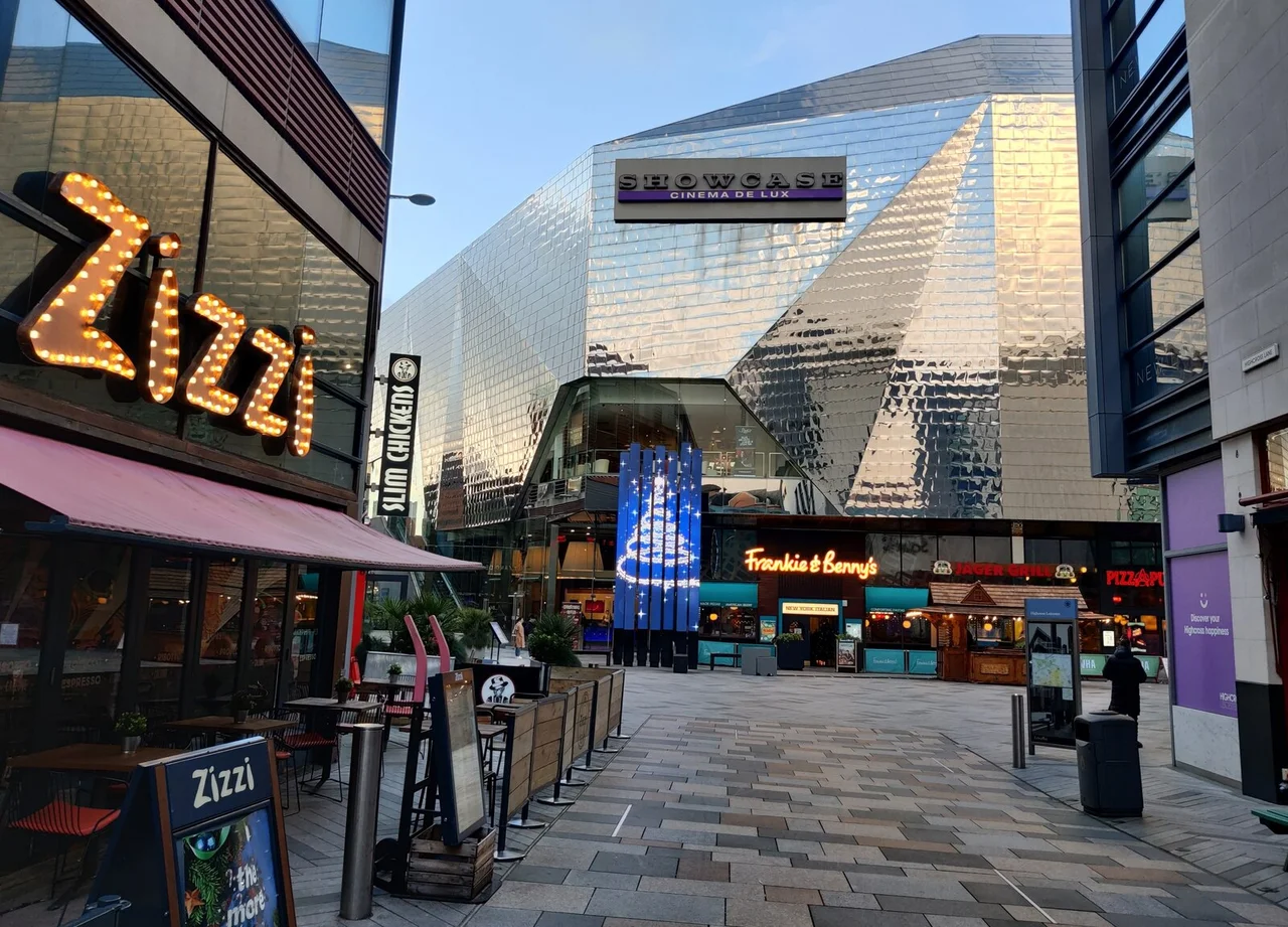
The £19 million regeneration project completed in the late 2000s transformed the look of central Leicester - Gallowtree Gate was repaved, the Highcross Leicester shopping centre opened a major extension in September 2008, the Curve Theatre opened that November in the new Cultural Quarter east of Charles Street, and the High Street was pedestrianised. The Curve Theatre, designed by Rafael Viñoly, cost £61 million and won several architecture awards. Independent shops moved into the regenerated High Street area. The same period saw the awkward residue of Leicester's 1960s and 1970s tower-block ambitions reluctantly addressed: St George's Tower and Thames Tower were refurbished and reclad in 2009, and St George's Tower was painted royal blue in a colour choice that residents continue to disagree about. The two tallest skyscrapers in the entire East Midlands - the Cardinal Telephone Exchange at 84 metres and St George's Tower at 82 metres - both stand in Leicester city centre, which says something about the East Midlands' general approach to tall buildings. Inside the ring road, the city centre is densely built and walkable. Outside it, the cultural geography sprawls: the King Power Stadium and the Leicester Tigers' Welford Road ground to the south, the King Richard III Visitor Centre and Leicester Cathedral in the medieval west, the Golden Mile of Belgrave's Diwali lights to the north, and the modernist refresh of the Jewry Wall Museum on the western edge.
From the Air
Leicester city centre is centred around 52.636°N, 1.133°W, bounded by the inner ring road (A594). From altitude, the historic core is identifiable by the cathedral's 220-foot spire, the Haymarket Memorial Clock Tower at the eastern apex, and the green spaces of Castle Gardens, Abbey Park, and Victoria Park forming a loose ring around the central built-up area. The River Soar runs along the western edge. East Midlands Airport (EGNX) lies approximately 15nm to the northwest. The King Power Stadium is visible 0.6nm south of the ring road; the Golden Mile of Belgrave runs north from the city centre.
Nearby Stories
- National Shell Filling Factory, Chilwell 1 km away
- Staffordshire Regiment Museum 2 km away
- Rutland Water 3.3 km away
- Grantham 4.4 km away
- Wellingborough 9.9 km away
- Croxden Abbey 11 km away
- Bordesley Abbey 14 km away
- Electric Railway Museum 17 km away