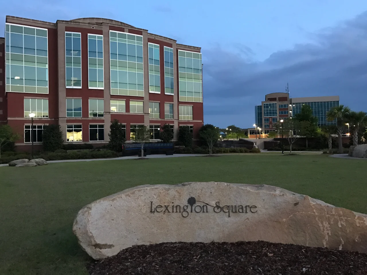

Lexington, South Carolina
The original name was Saxe Gotha, and that tells you almost everything about where Lexington came from. In 1735, King George II carved eleven townships out of the South Carolina backcountry as a human buffer between the Catawba and Cherokee to the west and the Lowcountry rice plantations on the coast. The Crown wanted Protestant farmers willing to break ground far from Charleston, and the people who answered were German and Swiss families - men named Hite, Wessinger, Lybrand, Boozer, Meetze - whose surnames still anchor every other historic-register house in town. They came for corn and wheat and tobacco. They came for hemp and flax and beeswax. They came because the Saluda River drained land nobody else wanted, and they stayed long enough to give the place its accent.
Courthouse on the Move
For its first century, the county seat sat downriver at Granby, where the Congaree flooded so persistently that records rotted in the vaults. By 1820 the local government had given up arguing with the water and dragged the courthouse uphill to its present location. For decades the settlement that grew around it had no real name, just a function - locals called it the Lexington Courthouse, the way you might say the post office or the depot. The town wasn't formally incorporated until 1861, the same spring Fort Sumter fell about a hundred miles to the southeast. Four years later, William Tecumseh Sherman's troops swept through on their way to burn Columbia. The courthouse and most of the town went up with them. Reconstruction left Lexington dependent on lumber and small farms, and the brick buildings that line Main Street today are mostly the second or third attempts - rebuilt after a major fire in 1894, and again after another in 1916.
How a Paramedic Changed All Fifty States
On January 28, 1994, a Lexington paramedic named James D. Garcia stopped to help a driver who had slid off the road. A passing vehicle struck him. The South Carolina Highway Patrol's initial report listed Garcia himself at fault. He survived, and he spent the next two years lobbying the General Assembly to require drivers to change lanes when emergency vehicles are stopped on the shoulder. The Move Over Law passed in 1996, was tightened in 2002, and over the following sixteen years every other state in the union adopted some version of it. Hawaii was the last to sign on, in 2012. The statute exists in every state because one paramedic in a small South Carolina town refused to accept that being hit while saving someone counted as his own mistake.
Lake Murray and the Suburban Boom
The thing that turned Lexington from a county seat into a metropolitan engine was a dam. Built in 1930 across the Saluda River five miles north of town, the 1.5-mile Saluda Dam created Lake Murray and gave the surrounding pine country a lakefront. Subdivisions followed. By the 1950s, with automobiles cheap and Columbia commutable, the population began climbing in steady jumps. Between 1990 and 2000 it grew 198 percent. Between 2000 and 2010 it grew another 83 percent. The greater Lexington area now exceeds 111,000 people, and the Central Midlands Council of Governments calls it the fastest-growing patch of the Midlands. Tornadoes from Tropical Storm Beryl flattened a swath of town in 1994. Hurricane Joaquin's 2015 floods broke Gibson Park Dam and Old Mill Dam. Both dams have since been rebuilt, the way Lexington has always rebuilt - patiently, in brick.
The Things That Stay
Twenty-two structures within the town limits are listed on the National Register of Historic Places. Most are houses bearing the names of those original German-Swiss families - the Ballentine-Shealy, the Berly, the Boozer, the Hite Farm, the Henry A. Meetze, the Vastine Wessinger. The county courthouse itself is listed. Slightly north of town, the Lexington County Museum preserves what daily life looked like before the dam and the interstate. South of town, the Icehouse Amphitheater hosts touring bands on summer evenings, and the Lexington County Blowfish play summer collegiate baseball at their stadium. A Murphy Express gas station on Augusta Highway sold a $400 million Powerball ticket on September 18, 2013 - the fifth-largest US lottery win to that date. The winner remained anonymous. In Lexington, that feels about right.
From the Air
Lexington sits at 33.98°N, 81.23°W, twelve miles west of Columbia and about 360 feet above sea level. From cruising altitude look for the broad pale band of Lake Murray immediately north - the lake is fourteen miles long and the Saluda Dam's straight line is easy to spot - with Interstate 20 running east-west just north of town. The nearest major airfield is Columbia Metropolitan (KCAE), about nine miles southeast; Columbia Owens Downtown (KCUB) lies about thirteen miles east. Visibility is generally excellent except during summer afternoon thunderstorms and the morning fog that pools in the Saluda valley.
Nearby Stories
- Fort Jackson 4.4 km away
- Piedmont Atlantic Megaregion 8.1 km away
- Battle of Mobley's Meeting House 22 km away
- Stallings Island 24 km away
- Battle of Camden 25 km away
- Hix-Blackwell House 26 km away
- Orangeburg Massacre 28 km away
- Graniteville Train Crash: The Night Invisible Death Came to a Mill Town 44 km away