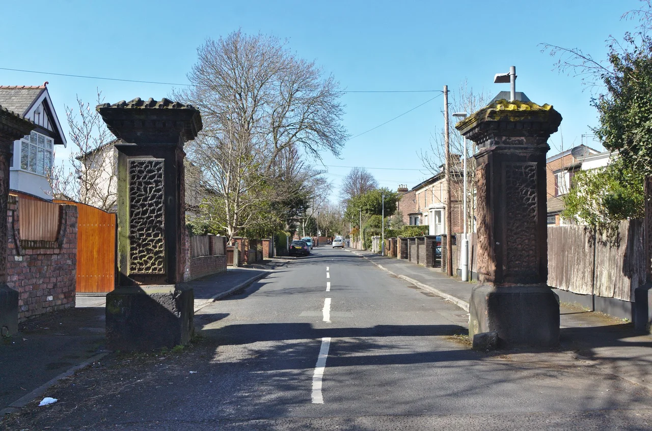

Litherland
On 27 December 1960, four young men climbed onto a stage at Litherland Town Hall and played to a post-Christmas crowd. They had just come back from a punishing residency in Hamburg, tighter and louder than they had left. The bill listed them as 'The Beatles, Direct From Hamburg!' - and the crowd, expecting yet another German band, rushed the stage when they heard the first chords. It was, by some Beatles historians' reckoning, the night when Beatlemania began. Across the next year they returned to this Sefton town hall again and again, and the building at the corner of Hatton Hill Road quietly became one of the unlikely cradles of the British 1960s.
Land on the Slope
The name Litherland is a piece of layered etymology: Old Norse hlith-ar, meaning slope, joined to Old English land. Together they describe what you actually see when you walk through the town - the gentle rise from the Mersey docks to the higher ground behind. The Domesday Book of 1086 records the place as Liderlant, and at that early date there was no Liverpool yet to overshadow it. The original manor consisted of a half (covering Litherland itself and modern Seaforth) and two quarters (covering Orrell and Ford). For centuries afterwards it remained a poor area, a tail of the Lancashire coastal plain, until the late eighteenth century brought the engineering that changed everything.
The Canal That Made the Town
The Leeds and Liverpool Canal reached Litherland in 1774. It was meant, originally, to provide a safe route through Lancashire from Liverpool to Wigan, and by 1816 it would link all the way through to Leeds. Almost overnight the canal turned a poor agricultural patch into a thoroughfare. Goods moved first, then passengers; prosperous Liverpool businessmen began moving out from the city to build houses in what had become a properly connected suburb. A mechanical lifting bridge, built in 1934 to replace an earlier swing bridge, carried road traffic across the canal until its demolition in 1974. The Litherland Gala, held annually for years, ended with a procession of shire horses and dock-themed floats winding through to the Bryant and May sports field.
Trams and Town Hall
The northern reach of Liverpool's tramway network ended in Litherland. From the boundary with Bootle the tracks ran three-quarters of a mile along Linacre Road to a terminus at Bridge Road. That short stretch carried what was, by 1903, the last horse-drawn service in Liverpool - it converted to electric operation in August 1903, more than a year after the rest of the system. Litherland Town Hall, the eventual Beatles venue, was officially opened in February 1941, in the middle of the Liverpool Blitz. Today the town is part of the Bootle parliamentary constituency, returning the Labour MP Peter Dowd; six Labour councillors represent its two wards on Sefton Council.
Between Docks and Suburbs
Litherland sits about five miles north of Liverpool city centre, neighbouring Waterloo to the north, Seaforth to the west, and Bootle to the south. The Seaforth and Litherland railway station runs trains on the Hunts Cross to Southport line of the Merseyrail network. The main road, the A5036, links the town to Switch Island and the A565 at Seaforth Dock - one of the busiest container ports in the United Kingdom. Schools include Litherland High School and Rowan Park School (a specialist school serving children aged 2 to 19), and South Sefton College provides sixth-form education for the wider area. It is a working town in a working corner of Merseyside, one whose loudest claim to fame is a December evening when four lads from a few miles south rushed the stage.
Flight Context
Litherland sits at approximately 53.473 degrees north, 2.999 degrees west, on the Sefton coast plain immediately south of Crosby and north of Bootle. Liverpool John Lennon Airport (EGGP) is approximately 8 nautical miles south-southeast. From the air the most useful references are the line of the Leeds and Liverpool Canal running south through the town, the Royal Seaforth dock complex immediately west on the Mersey, and the railway line that splits Litherland from Bootle. Best viewed 2,000 to 3,000 feet AGL in clear conditions.
From the Air
Located at 53.473N, 2.999W on the Sefton coast plain, immediately south of Crosby and north of Bootle. Nearest airport: Liverpool John Lennon (EGGP), approximately 8nm south-southeast. The Leeds and Liverpool Canal and the Royal Seaforth dock complex provide strong visual references. Best viewed 2,000-3,000 feet AGL.
Nearby Stories
- Blackpool Pleasure Beach 4.4 km away
- Whalley Abbey 4.8 km away
- Worsley 5.4 km away
- Second Battle of Middlewich 7.7 km away
- Chester Zoo 7.9 km away
- Llanrwst 23 km away
- Abergele Rail Disaster 27 km away
- Sea Lion Rocks railway station 73 km away