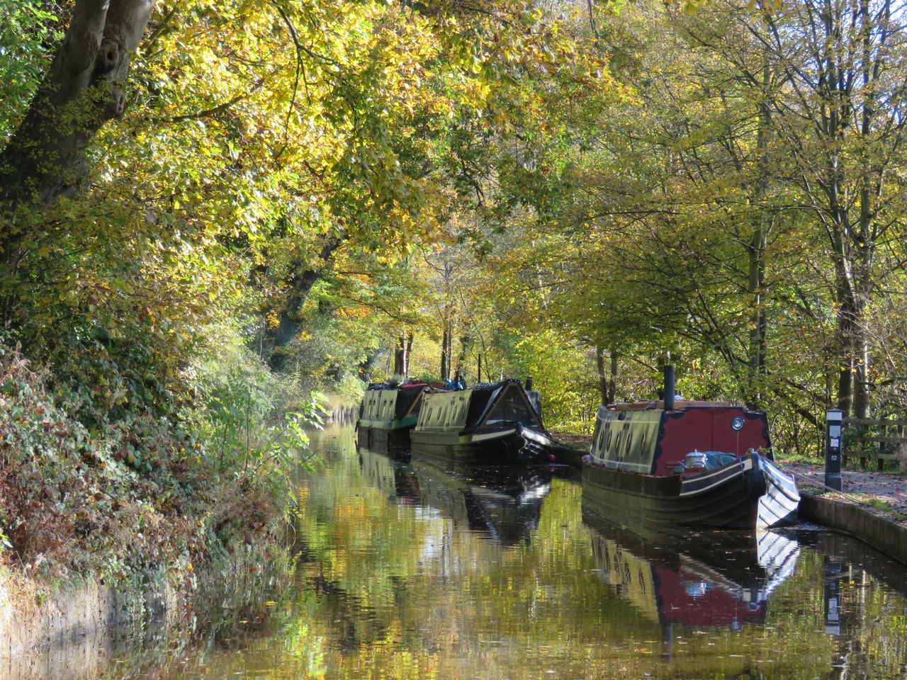

Llangollen Canal
It was supposed to connect the Mersey to the Severn through the coal and iron districts of north-east Wales. It does no such thing. Instead, the Llangollen Canal climbs into the Welsh hills, crosses the River Dee 38 metres in the air on a cast-iron aqueduct that should not work but does, and ends at a weir at Horseshoe Falls where it draws drinking water for Crewe. The whole thing is an accident of altered plans and engineering ambition - and the part that survived is now a UNESCO World Heritage Site, with over 30,000 narrowboats a year drifting across the world's most famous aqueduct.
The Plan That Got Away
In 1791 a group of industrialists from Ruabon and Brymbo proposed a grand scheme: an Ellesmere Canal linking the Mersey at Netherpool (now Ellesmere Port) to the River Severn at Shrewsbury, with branches reaching the ironworks, coal mines and lime quarries of the borderlands. William Jessop was hired as engineer, with Thomas Telford joining as his assistant in October 1793. The northern section opened first, reaching Chester by 1797. Then everything got harder. The southerly route to Shrewsbury was quietly abandoned. The crucial middle section - linking Trevor to Chester via Ruabon - was planned, partly begun, and then dropped when Jessop decided in 1800 the route was no longer worth the cost. What was actually built was a much-altered patchwork: a line from Frankton southwards to Llanymynech, a separate line west from Frankton to Trevor, and eventually a connection eastwards from Frankton to Hurleston Junction on the Chester Canal.
An Aqueduct in Iron
To reach Trevor from Frankton, the canal had to cross two valleys. At Chirk it crossed the Afon Ceiriog on a 600-foot, ten-arch aqueduct opened in 1801, with a cast-iron base and masonry sides. At Pontcysyllte it had to cross the Dee itself. The committee initially planned masonry locks at both ends to lower the canal closer to river level. On 14 July 1795 Jessop proposed something extraordinary: a single cast-iron trough carrying the canal 38 metres above the river. Telford was responsible for the detailed design and execution. The foundation stone was laid eleven days later, and the aqueduct opened in 1805 - 307 metres long, eighteen stone piers carrying nineteen arches, an iron trough barely wide enough for one narrowboat. Two centuries on, it still works. There is no parapet on the towpath side; bargees and walkers cross with nothing between them and the air.
Saved by the Water Supply
Commercial traffic on the canal collapsed after the First World War. By 1937 traffic to Llangollen had ceased; by 1939, the eastern section to Hurleston was no longer used. The London Midland and Scottish Railway, which had inherited the system, secured a 1944 Act of Parliament to abandon 175 miles of canal across the Shropshire Union network - but they could not abandon this one. The Llangollen line, fed from Horseshoe Falls weir on the Dee, still supplied drinking water to Hurleston Reservoir and to the main line of the Shropshire Union. The agreement was renewed and reinforced over the decades. Tom Rolt cruised the route in 1947 and 1949, despite it being officially closed, and a slow movement to reopen it for leisure gathered force. The Transport Act 1968 finally designated it as a 'cruiseway,' securing its future. In the 1980s, British Waterways quietly rebranded it as the Llangollen Canal.
World Heritage on a Narrowboat
The route runs forty-six miles, from Hurleston Junction in south Cheshire to the Horseshoe Falls weir at Llantysilio, passing through Ellesmere, Whixall Moss, Chirk and Pontcysyllte. In 2009 UNESCO declared the eleven-mile section from Gledrid Bridge to Horseshoe Falls a World Heritage Site, citing the two great aqueducts and the engineering of the canal across difficult terrain. The Whixall Moss section is itself remarkable: Jessop and Telford built the canal across a raised peat bog, refusing the easier route around the edge. They floated it on a clay raft and employed a permanent gang of navvies - the 'Whixall Moss Gang' - to maintain the banks year by year. The gang was finally laid off in the 1960s, when steel piling was used to underpin the whole length.
What It Is Now
Today the canal is one of the most-cruised in Britain. Holidaymakers wait their turn at the Pontcysyllte crossing, video cameras out, gliding through air at the speed of a walking pace. The Chirk Aqueduct sits in the Ceiriog valley with a railway viaduct running parallel above it - a 20th-century duplication that turns the scene into a layered diagram of British transport history. Horseshoe Falls, the bow-shaped weir Telford built across the Dee in 1808 to feed the canal, is still the source: Llangollen's water tumbles into a feeder channel and runs the full length of the canal to Cheshire. The flow is unusually strong for a British canal, up to 2 mph, because the route still has its original job - moving water - on top of its new one moving boats.
From the Air
The canal's most spectacular section runs at roughly 52.97 degrees north, 3.09 degrees west, crossing the Dee on the Pontcysyllte Aqueduct just east of Llangollen. From the air the aqueduct is unmistakable: a slim grey ribbon of nineteen arches striding across a green valley. Cruise at 1,500-3,000 feet for the best perspective of both aqueducts and the canal's contour route through the foothills. Hawarden (EGNR) lies about 18 nautical miles north-east; Shawbury (EGOS) about 22 nautical miles south-east. The Berwyn Mountains rise sharply to the south-west.
Nearby Stories
- Helsby 2.9 km away
- Coton Hill Rail Crash 4.4 km away
- Blaenau Ffestiniog 4.8 km away
- Holywell 7.9 km away
- Battle of Maes Moydog 9.6 km away
- PS Rothsay Castle 12 km away
- Barmouth Bridge 12 km away
- Combermere Abbey 13 km away