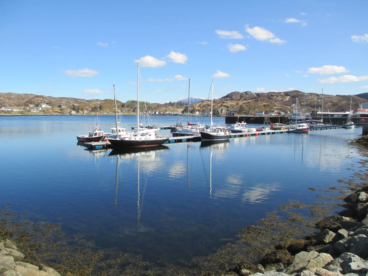

Lochinver
Foreign trawlers tie up here, but hardly any Scottish boats still do. Lochinver - 651 people at the last count, thirty miles north of Ullapool - is what's left of a Scottish fishing village after the industry moved on without it. The harbour still works, the pier still pulls in catch, but the names on the hulls are Spanish and French as often as not. Locals had hoped Brexit would change that. It didn't. The result is a village that holds two versions of itself simultaneously: a working port that mostly serves other people's economies, and a tourist gateway to some of the most extraordinary landscape in Britain.
The Mountain Above the Village
Suilven is the reason most visitors come. A 731-metre sandstone ridge that rises clean out of the moorland like a beached whale, it's six miles to the summit from Lochinver along a trail that crosses cnoc-and-lochan country - hummocky bedrock and small lakes - before the final scramble. The highest peak, Caisteal Liath, means 'Grey Castle' in Gaelic. Meall Meadhonach is the middle summit, Meall Beag the south. The mountain is technically only a 'Marilyn' - it doesn't break Munro height - but its isolation makes it look like one of the great hills. From the village, on a clear evening, its long whaleback profile fills the eastern sky.
The Hermit's Castle
West of Achmelvich Bay, on a headland of bleached Lewisian gneiss, sits one of Britain's strangest buildings. The Hermit's Castle is a tiny Brutalist concrete structure - something between a wartime gun emplacement and a 1960s civic centre, but built at the scale of a single cell. An English architect named David Scott constructed it in the 1950s and then apparently never used it. He left it for the weather and vandals to work on. Today it squats above the Atlantic, roofless in places, scrawled with graffiti, beautiful in the way only abandoned modernism can be. There are no signs explaining it. Walkers stumble across it and have to work out for themselves what they are looking at.
Inchnadamph and the Bone Caves
Inland on the A837, the road runs along Loch Assynt past two haunting ruins. Inchnadamph village sits at the loch's head: its Old Kirk dates from 1741, disused now, and the Macleod burial vault is all that remains of the 1440 church that came before. A few miles further, the Bone Caves - reached by a 40-minute hike from the car park - are four karstic caverns where bones of 47,000-year-old reindeer, lynx, and bear were found, almost certainly washed in rather than carried. Deeper inside the mountain lies Uamh an Claonaite, a 2.868-kilometre cave system that only experienced cavers should enter. The caves are free, open all hours, and after rain you will get filthy walking the loop.
Calda House and the Cost of Backing the Wrong King
Half a mile south of Ardvreck Castle, on the A837, the burned-out shell of Calda House still teeters above the road. It was built in 1726 by the Mackenzies and burned down just eleven years later, in 1737. The Mackenzies never rebuilt it. They couldn't: when the 1745 Jacobite rebellion came they backed Bonnie Prince Charlie, and the British government ruined them as thoroughly as the fire had ruined the house. The shell still stands - vaulted ground floor compartments, fragments of upper walls - a teetering monument to two centuries of Highland history compressed into a single ruin. You can stop and walk up to it from a layby. There is no ticket and no interpretation, just the wind and the loch.
From the Air
Lochinver lies at 58.15°N, 5.25°W on Scotland's far northwest coast. Approach from the south follows the A837 along Loch Assynt. Nearest airport is Inverness (EGPE), 75 nm southeast. Recommended viewing altitude 2,500-4,000 ft to take in Suilven's distinctive ridge to the east and the scattered islands of Enard Bay and the Summer Isles to the south. Note that mobile signal is patchy on the approach roads - aviation comms via Inverness Information are reliable.
Nearby Stories
- Loch Shin 2.2 km away
- HMS Nelson (28) 2.5 km away
- An Teallach 9.6 km away
- Battle of Drumnacoub 11 km away
- Kinlochbervie 12 km away
- Fyrish Monument 21 km away
- The Minch 21 km away
- German submarine U-905 25 km away