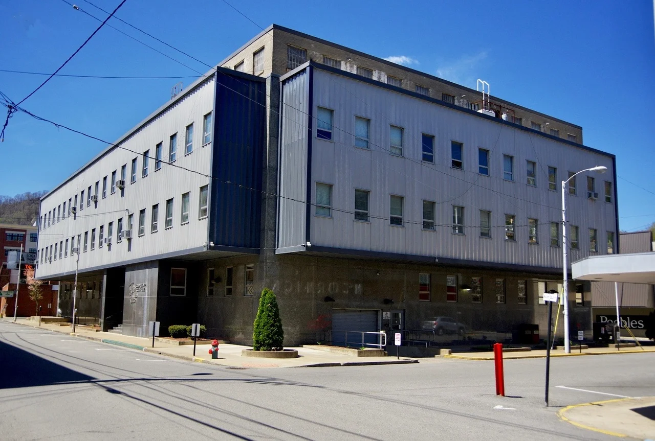

Logan County, West Virginia
The county that voted for secession in April 1861 took the name of a Native American chief whose family had been murdered by white settlers eighty years before. Chief Logan of the Mingo lost his wife, brother, and nephews in the 1774 Yellow Creek Massacre, and the speech he gave afterward — recorded by Thomas Jefferson, taught in nineteenth-century classrooms — became one of the most famous pieces of Native American oratory in American letters. Logan County, West Virginia, formed in 1824 from parts of Giles, Tazewell, Cabell, and Kanawha counties, carries his name across some of the steepest and most heavily mined country in Appalachia.
Becoming West Virginia
When West Virginia broke from Virginia in 1863, Logan County went along, but reluctantly. The county had voted for secession in the convention of April 4, 1861, and was made a West Virginia county only by executive order of Abraham Lincoln, who needed Unionist counties wherever he could find them. The new state divided itself into civil townships in the New England style, then abandoned them in 1872 for the simpler magisterial-district system better suited to mountain geography. Logan County's original five districts — Chapmanville, Hardee, Logan, Magnolia, Triadelphia — kept multiplying and dividing through the next century. In 1895 the legislature carved Mingo County out of Logan's western edge.
The Battle of Blair Mountain
On August 25, 1921, between 10,000 and 15,000 armed coal miners began marching from the Kanawha Valley toward Logan County, intent on breaking the open-shop control of the southern coalfields by force. Their immediate trigger was the assassination of Sid Hatfield on the Welch courthouse steps three weeks earlier. The mine operators and Logan County Sheriff Don Chafin had built a defensive line on Blair Mountain, the ridge that divides Logan from Boone County. Five days of fighting followed. Federal troops arrived under presidential order. Private planes hired by the operators dropped bombs on the miners, and Army aircraft were dispatched under presidential order. The miners disbanded only when ordered by army officers, not coal operators. It was the largest armed uprising in the United States since the Civil War and the largest labor conflict in American history.
Coal Towns That No Longer Exist
Logan County contains the ghost addresses of dozens of coal camps. Buffalo Creek, in the eastern part of the county, was the site of the February 26, 1972 dam failure that killed 125 people and destroyed sixteen communities. Lorado and Lundale were among the towns swept away entirely; Saunders, Amherstdale, Crites, and Latrobe were heavily damaged. The dam was a coal-waste impoundment — a sludge dam that Pittston Coal Company knew was failing. Survivors received settlements decades later. The Buffalo Creek hollow still bears the marks of the wave that came down it. So do the families. Logan's many unincorporated communities — Dog Patch, Frogtown, Sodom, Yolyn — are remnants of a coal-camp landscape that once filled every hollow in the county.
From Solid Blue to Deep Red
Before 2008, the only Republican to carry Logan County in a presidential election was Herbert Hoover in 1928, when anti-Catholic feeling cost Al Smith the votes of this Bible Belt region. Even George McGovern, in his nationally lopsided 1972 loss, won Logan County — the only county in West Virginia he carried. Then the politics inverted. As Democratic environmentalism collided with coal-country economics through the 2000s and 2010s, Democratic vote shares collapsed. The 2020 census counted 32,567 people in Logan, down from 36,743 in 2010. Chief Logan State Park, on the ridge above the county seat, sits at the dividing line: on one side, the green folds of the Allegheny Plateau; on the other, the surface-mined plateaus that powered a century of American industry and emptied the towns built to mine them.
From the Air
County centered near 37.83N, 81.94W. Elevations range from 700 feet along the Guyandotte River at Logan to 2,500 feet on the surrounding ridges. Recommended viewing altitude 5,500-7,500 feet MSL. From the air, surface-mining flat-tops are unmistakable across the Boone and Logan border ridge. The Blair Mountain battlefield itself is a ridgeline running roughly north-south above the town of Blair. Nearest airports: Logan County (6L4), Yeager (KCRW, Charleston) about 40 nm north. Mountain VFR; watch for unmarked tower obstructions on the ridges.
Nearby Stories
- Big Sandy Expedition 5.5 km away
- Upper Big Branch Mine Disaster 6.5 km away
- Malden Historic District 17 km away
- Paintsville, Kentucky 18 km away
- Beech Fork State Park 29 km away
- 1993 East Carter High School Shooting 34 km away
- 2002 Appalachian School of Law shooting 38 km away
- Bluefield, Virginia 48 km away