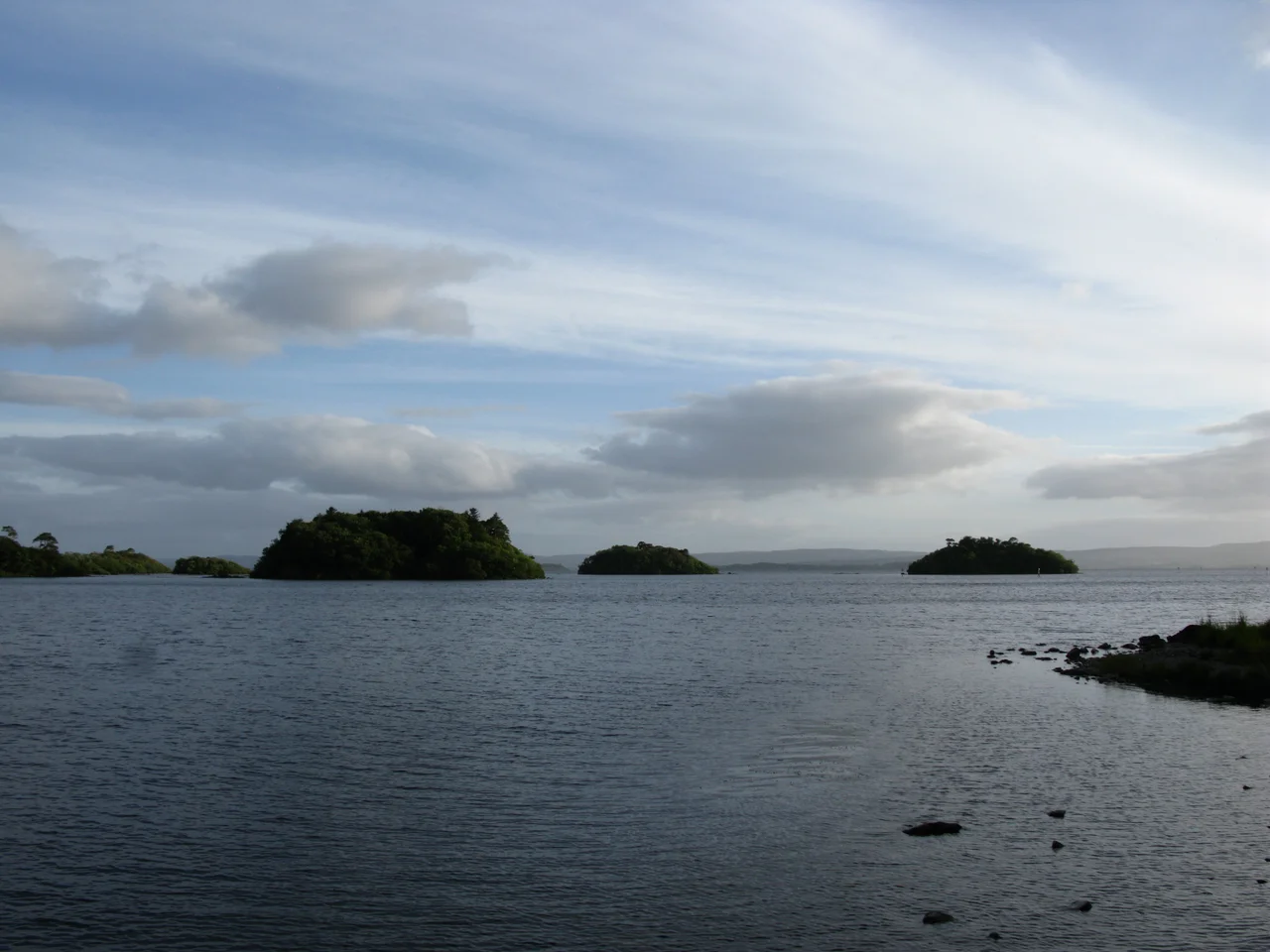

Lough Corrib
In the twelfth century, before either Norman keep or Tudor plantation, monks at the south end of Lough Corrib cut a channel through limestone to let boats reach the sea at Galway. The Friar's Cut, as it came to be called, was the first canal ever excavated on the island of Ireland. It has been working continuously for more than 800 years. Lough Corrib stretches north from that cut for 176 square kilometres, the largest lake in the Republic of Ireland and the second largest on the island after Lough Neagh. It contains, by the most recent careful count, 1,327 islands. Folklore had it as 365, one for each day of the year, but a surveyor with sonar pushed the actual figure into four digits.
The Lake of the Sea God
The Irish name Loch Coirib derives from an earlier form, Loch Oirbsean. According to the placename traditions of medieval Ireland, Oirbsen was another name for Manannan mac Lir, the Tuatha De Danann figure who served as a god of the sea. The lake bears his name. In modern Irish it is also called An Choirib, the Corrib. The wider lake basin and significant adjacent areas of woodland, callows grassland, and raised bog have been incorporated into the Lough Corrib Special Area of Conservation. The lake itself was designated a Ramsar site in June 1996, recognising its international importance as a wetland habitat. The northern basin is deeper, the southern shallower, with the two halves connected by a narrow channel near the village of Cong.
Viking Axes Under the Water
Since 2007, a local surveyor and cartographer has been creating up-to-date charts of Lough Corrib using modern sonar equipment. The work has uncovered objects of major archaeological significance. The Annaghkeen Boat, found by the survey, is 40 feet in length and intricately carved, a Bronze Age or Iron Age dugout canoe of a quality rarely seen elsewhere in Ireland. The Carrowmoreknock Boat is a well-preserved tenth-century vessel that went down carrying three Viking battle axes, frozen in time at the moment of sinking. The wreck of a Victorian pleasure yacht represents a more recent vintage. The Underwater Archaeology Unit of the National Monuments Service investigates each find. All historic wrecks in the lough are now protected, and any dive on them requires a licence. The lake's bed is, in archaeological terms, a continuous record of more than three thousand years of human use.
The Pirate Queen's Castle on a Rock
On a small rocky island in the upper lough, between Maam and Doon, stands Hen's Castle, in Irish Caislean-na-Circe, a fortification of the medieval O'Connors and O'Flahertys. The castle's most famous resident was Grainne O'Malley, known as the pirate queen of Connacht, who lived during the reign of Elizabeth I and controlled the waters around Clew Bay and the lakes of the interior with a fleet she commanded personally. In 1225, the Lord Justice ordered Odo O'Flaherty to surrender the castle to Odo O'Connor, King of Connaught, as security for his loyalty. Grace O'Malley used it three centuries later as one of her bases. The castle still stands on its rock, accessible only by boat, exposed to whatever weather the lough sends. Cruise boats from Cong, Ashford Castle, Galway City, and Oughterard pass it daily.
Inchagoil and the Hermits
Midway between Cong and Oughterard lies Inchagoil Island, one of the largest of the wooded islands in the lough. It holds two churches: one dedicated to Saint Patrick and a twelfth-century structure known as the Saints' Church. The island shows evidence of an early monastic settlement, and tradition holds that Saint Brendan of Clonfert spent time on an island in this lake after returning from his transatlantic voyages. Paths wind around Inchagoil. An old cemetery sits in the woodland. The remains of four or five cottages stand where families once lived on the island full-time, before isolation drove them to the mainland. Views from the island take in the Maumturk Mountains, Joyce Country, and the Twelve Bens of Connemara, the whole sweep of western Connacht visible from a 30-acre wooded island in the middle of a 176-square-kilometre lake.
The Wildes Wrote It Down
In 1867, William Wilde published Lough Corrib, its Shores and Islands, a comprehensive antiquarian study of the lake's archaeology, history, and topography. Wilde, a leading surgeon as well as a serious historian, built a summerhouse on the lough's banks called Moytura House. His son Oscar Wilde spent boyhood summers there. The book was a thorough work, much of it still cited by modern researchers, but it was also a personal record of a man's attachment to a particular body of water. Paul Feval's 1846 novel La Quittance de minuit is set near Lough Corrib, and Pat O'Shea's 1985 children's novel The Hounds of the Morrigan drew its inspiration from the unspoilt countryside around the lake. The 2009 drama Nothing Personal was filmed in part at Moytura. The lake keeps appearing in stories told about it.
From the Air
Coordinates: 53.467 N, 9.283 W (lake centre). Lough Corrib stretches roughly 50 km north-south, mostly within County Galway with the northeast corner reaching into County Mayo. From the air the lake is unmistakable: a large irregular sheet of water broken by hundreds of small wooded islands, narrowing in the middle and broadening at both ends. Galway city sits at the southern outflow, Cong at the northwest tip. Nearest airports: Galway (EICM, GA only) about 20 km south of the lake's south end, Ireland West Knock (EIKN) about 60 km northeast. Recommended viewing altitude 3,000 to 5,000 ft for the full sweep of the lake and its islands.
Nearby Stories
- Kylemore Abbey 5 km away
- Granuaile's Castle 7.2 km away
- Castlebar 8.1 km away
- Knockmoy Abbey 9.9 km away
- Kilmovee 13 km away
- Salthill 16 km away
- Loughrea 17 km away
- RMS Carinthia (1925) 55 km away