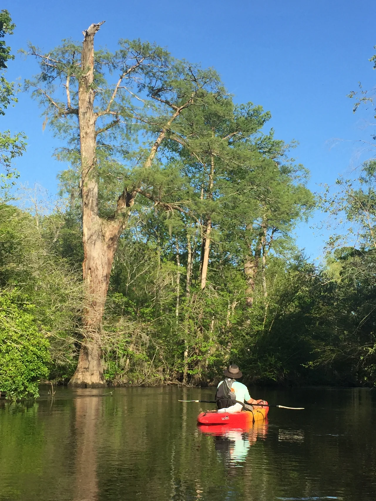

Lynches River
Near the small town of Bethune, South Carolina, there is a single bridge that crosses the same river three times. The river does not fork. It does not braid. It simply meanders so violently across the Sandhills that U.S. Highway 1 has to cross it three times in one mile to keep going straight. Locals shrug. Engineers shake their heads. The Lynches River, named for Thomas Lynch Jr. - one of South Carolina's signers of the Declaration of Independence, dead at sea at 30 - does this kind of thing for 140 miles between the North Carolina line and the Pee Dee. It is a working river with a complicated past.
From Waxhaw to Pee Dee
The Lynches rises near Waxhaw, North Carolina at about 700 feet of elevation, flows briefly south across the state line, and then drains the eastern half of South Carolina's Piedmont before crossing into the coastal plain. Its course covers about 140 miles. The drainage basin totals roughly 1,030 square miles. The river finally empties into the Great Pee Dee River just below Johnsonville, South Carolina. Along the way it crosses Lancaster, Chesterfield, Kershaw, Lee, Darlington, Florence, and Williamsburg Counties - a tour of nearly every landscape South Carolina has, from rocky Piedmont uplands to Sandhills to the cypress swamps of the coastal plain. South Carolina has designated portions as a wild and scenic river: the upper stretch from Bishopville to Lynches River County Park received the designation in 1994, and the lower 57-mile section followed in 2008.
Gold Country
In 1828, prospectors found gold in the Lynches River and its tributaries near Pageland and Jefferson, South Carolina. The discovery sparked a decades-long mining boom that pre-dated the California Gold Rush by twenty years. By the Civil War, 58 gold mines operated across South Carolina, most of them in the Lynches watershed. Commercial mining ceased nationally in 1942 when federal War Production Board order PL-208 banned gold mining to redirect labor to war metals - and with the gold price fixed at $35 per ounce and private gold ownership illegal between 1933 and 1975, the South Carolina mines did not reopen for decades. The Brewer gold mine near Jefferson came back online in 1987 using cyanide leaching technology. Between 1987 and 1991, the mine produced 118,000 troy ounces. In 1990, an accidental cyanide spill killed 11,000 fish in the Lynches River. The mine closed for cleanup and never produced at the same scale again.
Three Crossings at Bethune
Where the river drops off the Piedmont into the Sandhills - a band of ancient beach dunes from when the Atlantic shoreline was a hundred miles west of where it sits today - the Lynches begins to meander. At Bethune, it forms an S-curve so tight that the same straight stretch of U.S. Highway 1 crosses the river three separate times within a single mile. There is no fork, no tributary trick, no engineering oddity beyond geometry. The river simply bends back on itself. The bridge is a local curiosity, a frequent local question on driving tests, and the only such configuration in the world, according to several decades of Kershaw County tourism literature. The Sandhills region around Bethune supports peach orchards, pine plantations, and the Carolina Sandhills National Wildlife Refuge - 47,000 acres of rare longleaf pine ecosystem.
Hurricane Hugo's Trees
On September 21 and 22, 1989, Hurricane Hugo struck the South Carolina coast as a Category 4 hurricane and pushed inland with sustained winds still over 100 miles per hour deep into the Sandhills. The Lynches River corridor took the storm broadside. Thousands of trees fell into the river or onto its banks. The blowdown was so thorough that canoeing the river - which had been the central recreational use of the river since the early twentieth century - became dangerous at high water and difficult at low water for years afterward. Volunteer river enthusiasts have spent more than three decades clearing the storm debris. Most of the Hugo trees are now gone. Some remain. Paddlers in the upper sections still occasionally encounter a downed tupelo that has not yet been cut. Hugo's signature on the watershed is still legible.
The Heelsplitter
Parts of the Lynches River have been designated by the U.S. Fish and Wildlife Service as critical habitat for the Carolina heelsplitter, Lasmigona decorata - a freshwater mussel about four and a half inches long with a greenish-brown shell, federally listed as endangered. Only six small populations are known to survive, and the Lynches holds one of the most important. Mussels are sediment filters, the kidneys of a river. Their decline tracks pollution, siltation, and changes in water chemistry through generations. The river also harbors the ridged lioplax, Lioplax subcarinata, a freshwater snail found only here and in the nearby Waccamaw. Lee State Park near Bishopville offers river access. Lynches River County Park in Florence County features an elevated canopy walk over the floodplain. The river that drained gold country and was named for a signer of the Declaration still runs - clean enough, mostly, for the heelsplitters to hold on.
From the Air
Lynches River drains a broad swath of eastern South Carolina, with our mapped reference point at 34.82 degrees N, 80.55 degrees W in Lancaster County. The river is best viewed at 3,000 to 6,000 feet AGL. From altitude, the river appears as a dark, meandering line through pine and hardwood forest, broadening notably in the coastal plain below Bishopville. The triple crossing at Bethune is a tight S-curve visible from low altitude near the intersection of US 1 with the river. Nearby airports include KEHO and KCRE (Camden, 25 miles southwest), KFLO (Florence Regional, 35 miles southeast), and KCEU (Cheraw, 30 miles east). Terrain is rolling Piedmont (500 to 700 feet) in the upper basin, flattening into the coastal plain (200 feet and below) downstream.
Nearby Stories
- Battle of Hanging Rock 7.3 km away
- 1774 Alexander Rock House 11 km away
- Kings Mountain Mine 15 km away
- Battle of Fishdam Ford 20 km away
- Yadkin River 26 km away
- Province of Carolina 27 km away
- Hartsville, South Carolina 30 km away
- Battle of Colson's Mill 30 km away