.jpg)
Maputo–Katembe Bridge
For decades, the two halves of Maputo could see each other but not reach each other. The capital crowded the northern shore of Maputo Bay, two million people deep, while across the water the district of Katembe stayed small and unpaved - close enough to wave at, far enough that getting there meant a ferry or a sixty-kilometre detour by road. In November 2018, a single span finally closed the gap. The Maputo-Katembe Bridge vaults the bay in one continuous arc, and it does so as the longest suspension bridge anywhere on the African continent.
A Bridge Long Imagined
The idea was old. Planners had dreamed of a crossing here for years, picturing something like Lisbon's 25 de Abril Bridge throwing its red towers over the Tagus - a fitting echo, given Mozambique's Portuguese past. As far back as 1989 the World Bank's urbanization plan for Maputo included a bridge over the bay. But dreams need money, and money needed peace. Only after Mozambique's long civil war ended, and a boom in gas and oil began to reshape the economy, could the government seriously take up the project. An expression-of-interest process opened in 2008. Portugal pledged to finance it, then collapsed into its own budget crisis and withdrew.
The Chinese Span
China stepped in. After President Armando Guebuza visited Beijing in 2011, the two countries agreed that China would fund the crossing, largely through loans from the Chinese Exim Bank. The China Road and Bridge Corporation took up the construction; German firm GAUFF Engineering advised on supervision. Preparatory work began in 2014. The financing drew criticism - analysts at the Economist Intelligence Unit noted the Exim Bank's interest rates were steep, and that Mozambique had cheaper options it chose not to use. The building itself was hard on the people in its path. Workers struck in late 2014 over poor conditions and late pay, and roughly 920 families had to be resettled to make room for the approaches.
Engineering Over Water
The numbers are the drama. The deck runs 3,041 metres and rides 60 metres above the water, high enough to let ships pass beneath without a thought. The northern approach viaduct curves in a long S for 1,097 metres into the Malanga district; the southern viaduct, built from precast segments, runs 1,264 metres toward the Katembe shore. Between them, the single clear span between the two land-based pylons stretches 680 metres with nothing holding it from below - the feature that crowns it Africa's longest suspension bridge, a title taken from the Matadi Bridge in the Democratic Republic of Congo, which had held it since 1983. Engineers had originally planned to plant pylons in the bay itself, then deleted them from the design rather than crowd the shipping lanes. The work earned the bridge serious recognition: South Africa's Fulton Awards for concrete structures in 2017 and 2019, and the Engineering News-Record's 2019 "Global Best Projects" award of merit, presented in New York.
The Shore That Changed
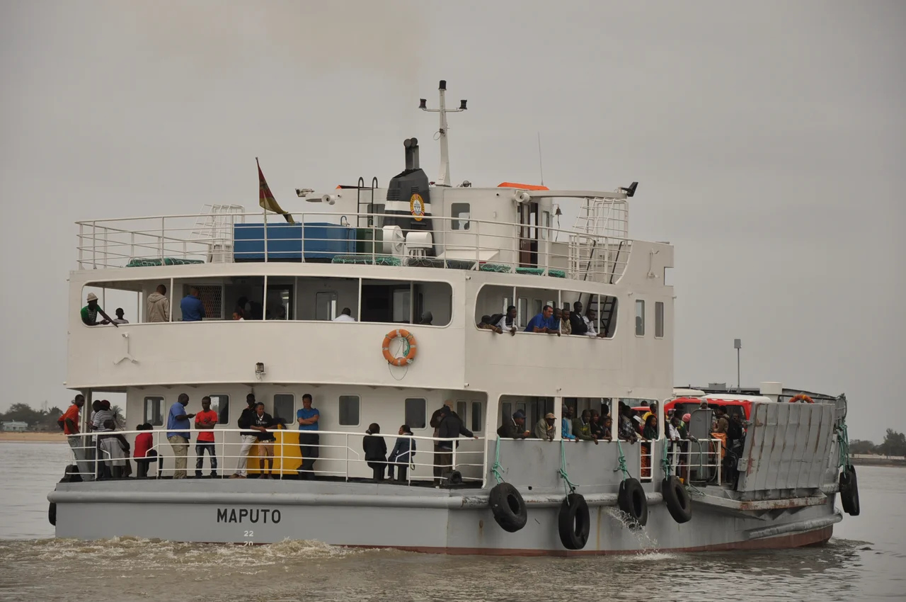
What the bridge really moves is the future of Katembe. Before the span, perhaps fifteen to twenty thousand people lived there among one-storey buildings, dirt roads, and open land - a place that belonged to the city on paper but lived like a separate village. Planners now forecast that Katembe could swell toward 400,000 residents as the crossing pulls development across the water and a new road pushes south toward the beaches of Ponta do Ouro. Whether that vision arrives as promised, the bridge has already done the harder thing: it has made the far shore reachable. The ferry that defined the journey for generations - and the long detour through Boane for anyone with a car - is no longer the only way across the bay.
From the Air
The Maputo-Katembe Bridge crosses Maputo Bay at roughly 25.97 degrees south, 32.56 degrees east, just south of central Maputo. From the air it is unmistakable - a long, gently curving deck springing from the Malanga district on the north bank to the low Katembe shore on the south, with two pylons rising from the banks. The bay itself and the bridge line make an excellent visual waypoint for coastal navigation. The nearest airport is Maputo International (ICAO: FQMA), about 3 km northwest of the city center. Best viewed at lower altitudes in the clear, dry conditions of the May-to-October winter season; haze and humidity build in the summer wet months.
Nearby Stories
- 1986 Mozambican Tu-134 Crash 3.9 km away
- Eswatini 65 km away
- Ponta d'Ouro 82 km away
- Sabi Sand Game Reserve 96 km away
- Sudwala Caves 186 km away
- Zavora 252 km away
- MS Africa Shell 267 km away
- Ngilgi Cave 7739 km away