Marcardsmoor
Until the 1880s only two people lived here: a bridge keeper and a lock keeper, looking after a single crossing of the Ems-Jade Canal. Everything else was bog - thousands of hectares of raised peatland, saturated and trackless, that the Prussian state had decided to turn into farmland. The new canal, completed in 1888 to connect the Ems to the Jade Bight, gave engineers a straight line through the moor. The Central Moor Commission gave them a plan. Settlers and prisoners did the digging. They cut drainage ditches at right angles to the canal, draining a strip 2,100 hectares wide. Five settlers in 1890. Another 29 by 1900. Marcardsmoor was the first village to be founded under the Deutsche Hochmoorkultur method, the German approach to making raised bogs grow crops, and the experiment that began here laid the template for an entire region of East Frisian moor colonies.
The Method and the Math
Deutsche Hochmoorkultur was straightforward in concept and brutal in execution. First, drain the bog. Build ditches that take the standing water away. Wait for the peat surface to compact and dry. Then apply artificial fertilizer - the nitrogen-phosphorus-potassium chemistry that German agriculture had just learned how to manufacture - because peat by itself contains almost no nutrients plants can use. With enough fertilizer the dry peat becomes a kind of growing medium, and a fenland that had refused crops for ten thousand years can suddenly produce rye, oats, and potatoes. The chemistry worked. The labor was what made it possible: the settlers who came for land and the prisoners who had no choice, digging a grid of drainage ditches into a substrate that fought back at every shovel-stroke. The moor was the patient and the canal was the lancet.
A Village Strung Along a Canal
Walk Marcardsmoor today and you walk along the canal. The Ems-Jade Canal runs east-west through the heart of the settlement, and the village stretches itself along the towpath rather than clustering around a square. This is the canonical pattern of the East Frisian Fehnsiedlungen - the moor colonies. The waterway was the road, the property line, the drainage system, and the supply route, all at once. Houses faced the canal; long thin farm plots ran back from the waterfront into the drained moor. In 1906, construction began on a second canal - the Nordgeorgsfehn Canal - heading south from Marcardsmoor, opening the next round of bog land for settlement and eventually enabling the founding of the larger town of Wiesmoor immediately to the south. The first colony fathered the second.
A Brick Church in 1907
By 1907 the settlement had enough residents to need a church. The Holy Cross Church - Kreuzkirche Marcardsmoor - was built that year, a single-nave brick building in restrained neo-Gothic style with the kind of pointed-arch windows that German village churches of the period inherited from the medieval revival. The choice of raw brick over plaster gave it a working-class honesty, fitting for a community of people who had hand-dug their own farms out of saturated peat. A century later it still anchors the village, the most prominent structure in a settlement that has never tried to be anything more than it is: a long line of houses, fields, and water, set on land that no one believed could grow grain until someone decided to try.
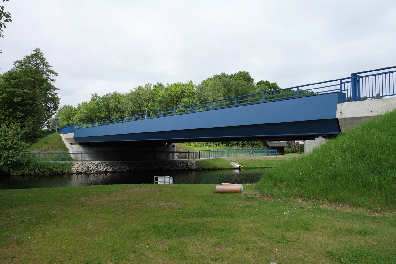
Bridge and Name
The Ems-Jade Canal crosses the village on the Eduard von Marcard Bridge, named for the Prussian official whose advocacy made the canal and the settlement project possible. Marcard was a senior figure in the regional bureaucracy that oversaw the moor cultivation program, and the village took his name in recognition of that role. The settlement is, in effect, a piece of state policy turned into a place. The unusual compound - Marcard plus moor - reads in German as the moor that became Marcard's. From the air the village is a thin line of buildings along a thin line of water, with the geometric stamp of nineteenth-century drainage ditches radiating away on either side - a settlement whose every contour was drawn by an engineer before a single house was built.
From the Air
Marcardsmoor sits at 53.46 degrees north, 7.70 degrees east, north of Wiesmoor in the East Frisian district of Aurich. From the air it appears as a linear village strung along the east-west Ems-Jade Canal, with the south-running Nordgeorgsfehn Canal branching off near the center. The surrounding land shows the unmistakable grid of nineteenth-century moor drainage - long rectangular fields ruled at right angles to the canal. Nearby airfields: Wittmundhafen (ETNT) about 20 km north-northwest, Emden (EDWE) about 35 km west, Wilhelmshaven-Mariensiel (EDWI) about 30 km east-northeast. Recommended viewing altitude 2,000 to 3,500 feet for a clear read of the canal intersections, the drainage grid, and the linear village pattern.
Nearby Stories
- Wilhelmshaven 1.3 km away
- Evenburg 5.4 km away
- Rastede Palace 8 km away
- German Trawler V 1101 Preussen 8.6 km away
- German submarine U-777 8.6 km away
- Wadden Sea 9.8 km away
- Battle of Heiligerlee (1568) 12 km away
- HVDC DolWin2 22 km away