
Maumanorig
On a stone at the heart of a small circular enclosure north of Ventry, someone carved a name in vertical notches: COLMAN AILITHIR. Colmán, the pilgrim. The stone is about 115 cm tall, scored on its west face with two crosses and the Ogham letters that fix this man in time around the year 565. He may have been the grandson of an Irish high king. He may have been on his way to Skellig Michael, that knife-edged sea crag where monks lived in beehive huts above the Atlantic, or up the slopes of Mount Brandon. We do not know if he came back. The site, called Maumanorig or sometimes Kilcolman, is now barely a ring of low walls in a field — but the stone is still here, still legible, still doing its quiet job of remembering.
Hill-Top of the Yellow Stones
The Irish name Maumanorig has two possible readings: "hill-top of the yellow stones" or "mountain pass of the Hoares." Either way, it marks a small high place 1.2 km north of Ventry on the southern side of the Dingle Peninsula. The site is tiny — barely 0.18 hectares — but it was significant enough that pilgrims used it as a launching point for journeys to two of Ireland's most punishing holy destinations: Skellig Michael, twelve kilometres out into the Atlantic, and Mount Brandon, the second-highest peak in Ireland. To set out from Maumanorig was to commit to weeks of hard walking or hard rowing, and a real chance of not arriving.
The Pilgrim's Stone
The Ogham inscription reads ANM COLMAN AILITHIR — "the name of Colmán, the pilgrim." Ogham was Ireland's earliest writing system, a script of strokes cut along the edges of upright stones, mostly used between the 4th and 7th centuries. Most surviving Ogham stones are funerary, recording who lies (or once lay) beneath. This one is different: it names someone specifically as a pilgrim — ailithir — which suggests Colmán's identity as a religious traveler was the thing worth recording. Scholars have proposed he was Colmán Oilither, grandson of Díarmait mac Fergosa Cerrbéoil, an Irish king. The stone may date to around 565–572, putting it among the earliest evidence of organized pilgrimage from this western coast.
What Pilgrims Left Behind
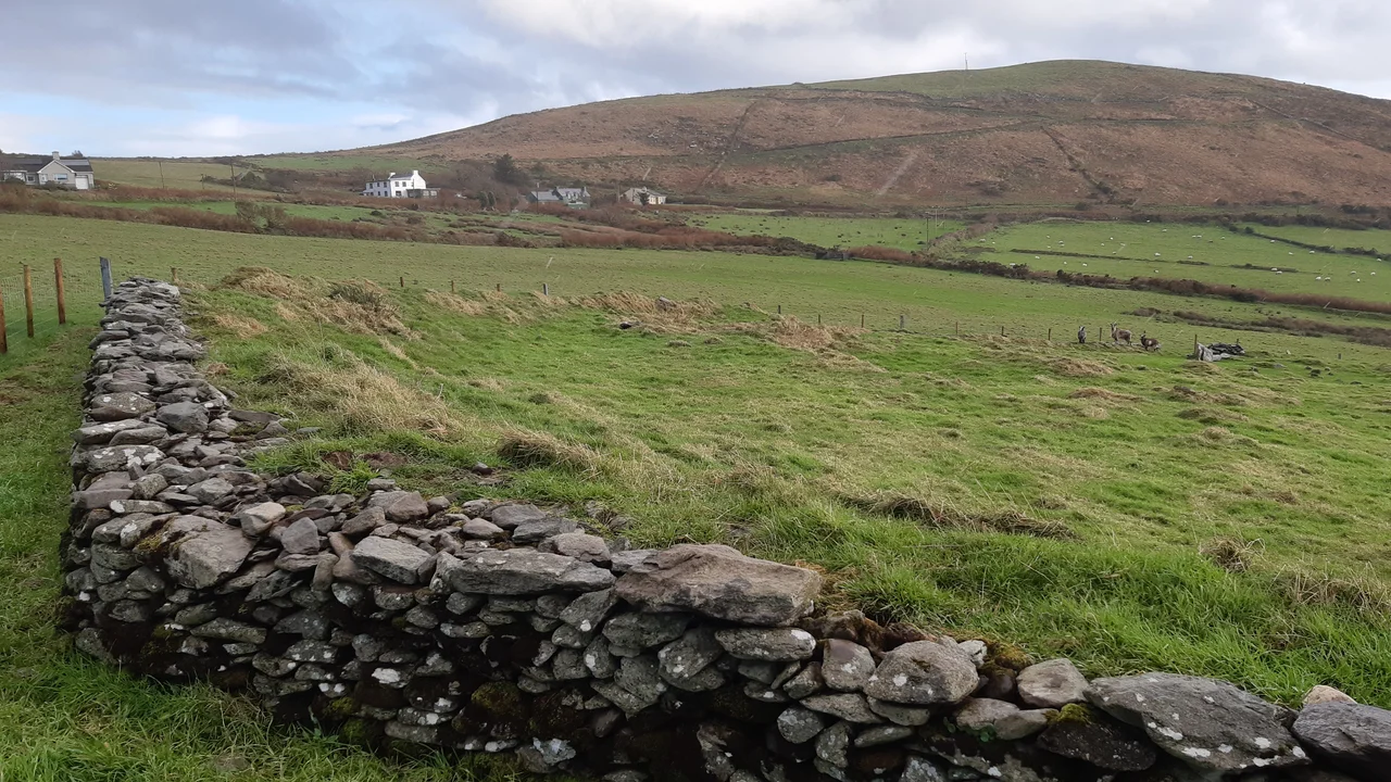
The enclosure itself is the kind of thing you might walk past without seeing: a low circular wall, a couple of hut sites where stone huts once stood, several grave markers. There is a small cross-inscribed stone, a holed stone (its purpose unclear — perhaps for tying a halter, perhaps for swearing oaths), and three bullaun stones, basin-shaped depressions cut into rock that medieval Irish monks used for grinding or for holding holy water. Together these objects sketch the rhythm of life here: small huts, a small church now gone, a community small enough that one carved stone could capture the most important thing about a man — that he had walked away into the unknown for God's sake.
The Quiet Western Edge
Maumanorig is one of perhaps fifty early monastic sites scattered across the Dingle Peninsula. Some, like Skellig Michael and Kilmalkedar, draw tour buses. This one does not. It sits in private farmland, accessible by a small path, and on most days you can stand inside the enclosure alone with the wind and the field. The Atlantic glints to the south. Mount Brandon looms to the north. The stone in the middle of the circle has stood through fourteen centuries of weather, naming Colmán still, refusing to let him be forgotten. Whether he reached his destination, whether he came back, whether anyone wept when he left — none of that survives. Just the name, and the word for what he was.
From the Air
Coordinates 52.1438°N, 10.3586°W, 1.2 km north of Ventry on the southern Dingle Peninsula. The site is small and easy to miss from the air; look for the patchwork of stone-walled fields with Ventry Harbour to the south and Mount Eagle rising to the southwest. Best examined at 1,500–2,500 ft AGL. Kerry Airport (EIKY) is roughly 55 km east. The view extends to Skellig Michael on a clear day — the same crag toward which Colmán may have set out.
Nearby Stories
- Ballyheigue Castle 1 km away
- Killemlagh Church 2.8 km away
- Pouldergaderry Sinkhole 6.8 km away
- Derreen Garden 11 km away
- Kilkee 59 km away
- The Laki Eruption: The Volcano That Changed World History 1366 km away
- The Northern Lights: The Sky Show That Vikings Thought Was Bridge to the Gods 1469 km away
- Sao Miguel 1935 km away