
Pouldergaderry Sinkhole
The first surveyors who mapped this corner of County Kerry in 1829 drew a circle on their Ordnance Survey sheet near Milltown and marked it as something other than ground. Pouldergaderry was already old then - a great pit in the limestone bedrock, roughly 80 metres across and 30 metres deep, with mature trees growing out of its floor like a garden someone had dropped into the earth. Two centuries later, the trees are still there. The hole hasn't moved. Sinkholes mostly don't - except when they do, and the ones that do are why the rest are interesting at all.
What's Under the Field
Pouldergaderry sits in the townland of Kilderry South, in a swath of County Kerry where limestone lies close to the surface. This is karst country - the same kind of geology that pocks Slovenia and Croatia and the Yucatán Peninsula with depressions, caves, and disappearing rivers. Rainwater, slightly acidic from atmospheric carbon dioxide, percolates through joints and bedding planes in the rock and dissolves the calcium carbonate, atom by atom, century after century. What looks like solid ground is gradually being hollowed out beneath. The Irish word for sinkhole, poll, gives this one its name - Poll Dergaderry, in some sense the hole at Dergaderry. At ground level, Pouldergaderry covers about 1.3 acres. The drop down to the tree canopy on the floor is roughly the height of a ten-storey building.
How a Hole Becomes a Forest
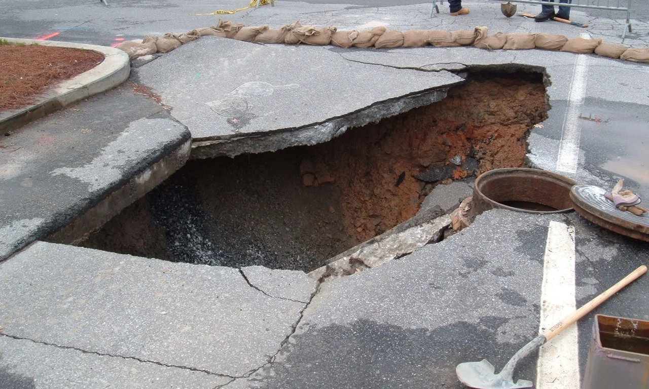
Mature trees inside a sinkhole are odd things. They suggest stability - if the pit were actively collapsing, mature trees couldn't get a foothold. Geologists divide sinkholes into types based on how they form: solution sinkholes, where soil settles slowly into widening cracks in the rock; cover-subsidence sinkholes, which sink gradually; and cover-collapse sinkholes, which can open beneath a parking lot or a Florida bungalow without warning. Pouldergaderry is the gentle kind. Soil has been creeping down into the underlying limestone for thousands of years, opening the depression so slowly that seeds blown in by the wind have had centuries to root, grow, drop more seeds, and produce the small isolated wood that fills the floor today. The hole's micro-climate - sheltered from wind, cooler in summer, frost-protected in winter - probably helps.
Family Resemblances
Every karst landscape has its own version of Pouldergaderry, and a few are spectacular. The Xiaozhai Tiankeng in China's Chongqing province plunges 662 metres - a sky hole, in Chinese, with vertical walls and a river at the bottom. The Cave of Swallows in Mexico is 372 metres deep, big enough to swallow the Empire State Building with room to spare. Belize's Great Blue Hole, 124 metres deep, was once a dry cavern when sea levels were lower; tilted stalactites at depth still mark the orientation of limestone layers that have since shifted. The Maya regarded their cenotes as portals between worlds, depositing precious objects and sometimes human offerings into the green water. Pouldergaderry is humble by comparison - no river, no stalactites, no archaeology - but it belongs to the same family. Solid rock dissolved by patient water, ground reorganising itself into something that surprises the eye.
The Other Kerry Karst
Sinkholes in Ireland tend to be quieter than the headline-grabbing collapses in Guatemala City or Florida. The bedrock here is older, the water table relatively stable, and most of the dissolution happened a long time ago. But the karst is real. The Burren, north of County Kerry across the Shannon, is one of Europe's most striking limestone pavements - a hundred square miles of grey rock striped with grikes and dotted with rare alpine flowers. Below Kerry's fields, the same chemistry has carved out caves, springs, and disappearing streams. Pouldergaderry is the visible part of an underground story, the small open mouth on a much larger geological conversation. The 1829 surveyors drew it as a curiosity. Modern visitors who find the unmarked spot - it has no signs, no parking, no entrance fee - see what they saw: a soft green crater in the middle of an ordinary field, with treetops swaying somewhere below.
Reading the Ground
Most people walk past karst features without recognising them. A dry valley with no stream. A spring that appears partway down a hill from nowhere obvious. A pond that never freezes. A field with a dimple in it. Pouldergaderry is unsubtle - the dimple is 30 metres deep - but the same physics that opened it is at work under thousands of acres of County Kerry farmland. Cattle graze over thin soil above limestone, with cracks in the rock below carrying away rainfall to springs miles distant. Occasionally, somewhere in karst country, the cracks below grow large enough that the ground above gives way. Mostly, it does what Pouldergaderry has been doing since before anyone wrote anything down here: settle, root, host trees, and wait.
From the Air
Pouldergaderry sits at approximately 52.13°N, 9.75°W, in the townland of Kilderry South near Milltown, County Kerry, roughly 16 km west of Killarney. From cruising altitude the feature itself is too small to spot, but the surrounding karst country - low rolling green fields broken by limestone outcrops - extends north toward the Shannon estuary. Kerry Airport (EIKY) at Farranfore is the nearest field, about 15 km east. Shannon Airport (EINN) is roughly 90 km north. Best viewing altitude for the landscape is 3,000-5,000 feet; the sinkhole itself is best seen on the ground.
Nearby Stories
- Emlagh East Ogham Stone 2 km away
- Carrignacurra Castle 2.6 km away
- Uragh Stone Circle 5.2 km away
- Ballinskelligs 6.2 km away
- Eurovision Song Contest 1993 8.2 km away
- Newcastle West 9.6 km away
- Ballyheigue Castle 11 km away
- RMS Carinthia (1925) 98 km away