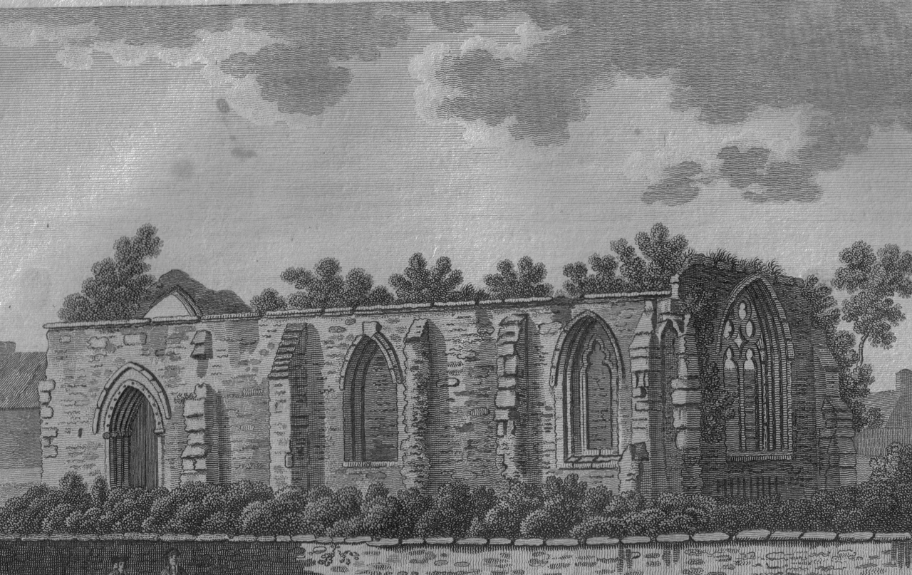

Maybole
If you had asked a Carrick farmer in 1700 where the centre of his world lay, he would have said Maybole. The town received its first charter from Donnchadh, Earl of Carrick, in 1193. By 1516 it was a burgh of regality. A late seventeenth-century census recorded that twenty-eight "lords and landowners with estates in Carrick and beyond" had houses here. For generations the surrounding country belonged, in every sense that mattered, to the Clan Kennedy - first as Earls of Cassillis and later as Marquesses of Ailsa - and Maybole was where they came when they came to town.
The Kennedys' Town
The Kennedys ran the place. The Marquess of Ailsa lived at Cassillis House, just outside Maybole, until the family sold the estate in 2007. The ancestral seat, Culzean Castle, sits four miles west of town on a basaltic cliff above the Firth of Clyde - a Robert Adam design from 1777, now in the care of the National Trust for Scotland. Beneath the castle are the Coves of Culzean, holes in the cliff that local stories called retreats of outlaws and resorts of fairies, depending on the storyteller's preference. The Maybole Town Hall on the High Street still incorporates a tower dating back to the sixteenth century. Two miles south-west of town are the ruins of Crossraguel Abbey, founded around 1244 - Crois Riaghail, the Cross of St Regulus.
Burns Country
Maybole sits in the middle of Burns country. Robert Burns's mother, Agnes Brown, was a Maybole woman. The poet himself spent his seventeenth year a little further west at Kirkoswald, learning land-surveying. In the parish churchyard there lie the real men who became Burns's fictional characters: Douglas Graham, the inspiration for Tam o' Shanter, and John Davidson, the inspiration for Souter Johnnie. South of Maybole, on the coast, sit the ruins of Turnberry Castle - where Robert the Bruce is said to have been born, where boys turned into kings. The countryside around Maybole is patterned with all of this: castles, ruins, churchyards, place-names that walked out of a poem.
The Sons of Maybole
Maybole has produced an unlikely number of consequential people for a town its size. John Loudon McAdam (1756-1836), the engineer whose name became the word "macadam," came from here - the man who figured out that roads should be built of crushed stone laid in compacted, well-drained layers, and effectively invented modern road surfacing. Sir Gilbert Blane (1749-1834), an eighteenth-century physician, reformed naval medicine and pushed the Royal Navy to issue lemon juice against scurvy. Norris McWhirter (1925-2004), co-founder of the Guinness Book of World Records, was descended from the McWhirters of Maybole. Robert MacBryde (1913-1966) was a noted modern painter and theatre designer. Margaret McMurray, who died in 1760 on a farm called Cultezron just outside town, was one of the last native speakers of a Lowland dialect of Scottish Gaelic - a language she carried into her grave.
Boots and Songs
In the nineteenth century Maybole reinvented itself as a centre of boot and shoe manufacturing. The St Cuthbert's shoe factory employed generations of locals; its site now carries housing. The Maybole Cross - whose Moon dial on one face is a genuinely rare survival - stands in the gardens of Maybole Castle, where it ended up after being shifted around the town for centuries. The Waterboys had Maybole in mind when they wrote "Glastonbury Song" - "I dreamed myself from the sultry plains, to the old green square back in old Maybole" - a strange piece of celebrity tourism from one of the rock band's better moments. Walk the old green square today and you can stand inside the lyric, the way some places let you do.
From the Air
Maybole lies at 55.35 degrees north, 4.68 degrees west, inland in South Ayrshire's Carrick district. Culzean Castle's headland is visible about 4 miles west; Turnberry's coastline lies 5 miles south-west; the Carrick hills rise to the south and east. Glasgow Prestwick (EGPK) is roughly 12 nautical miles to the north. The Isle of Man's Ronaldsway (EGNS) lies about 95 nautical miles south.
Nearby Stories
- Troon Lifeboat Station 4.1 km away
- Battle of Drumclog 9.7 km away
- Knockshinnoch Disaster 13 km away
- Lochranza 18 km away
- Threave Castle 18 km away
- Wigtownshire 21 km away
- Dunaverty Castle 24 km away
- SM UB-85 27 km away