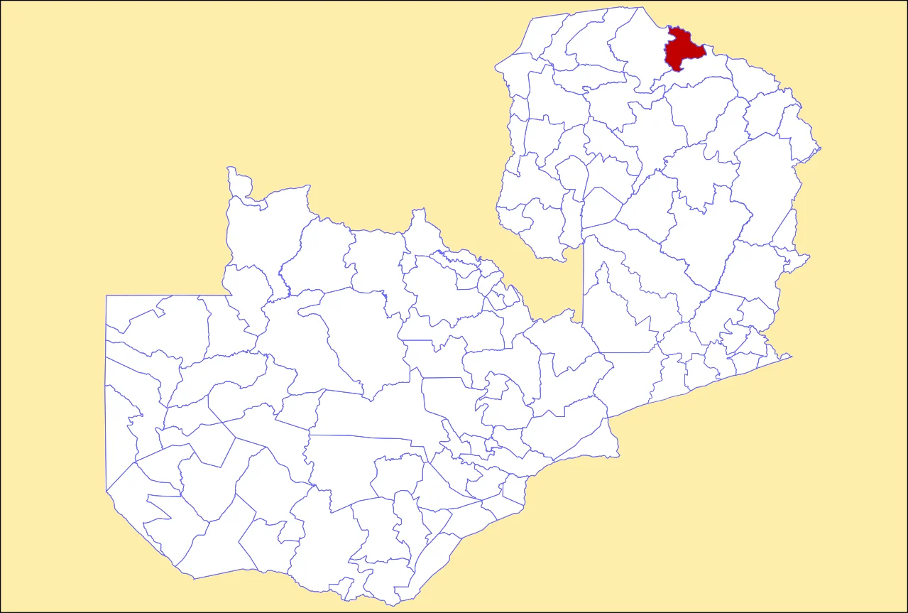
Mbala District
The district is named for a small antelope. The Imbala is a spotted bushbuck, a shy forest animal found near Lake Chila in the north of Zambia. In 1968, administrators looked for a new name to replace the colonial-era 'Tanganyika District,' and the Imbala won. Of all the ways a place could get renamed - after a president, a battle, a mineral, a hero - Mbala took its identity from an animal most of its residents rarely see but everyone recognizes. It's an appropriate choice for a district whose character is defined less by any single feature than by the dramatic geography that holds it all together.
A Name from the Lake
Mbala District sits in Zambia's Northern Province, with its capital at Mbala town. As of the 2022 Zambian Census, the district had a population of 161,595 people. The administrative story begins in 1890, when it was established as Tanganyika District under the Central African Authority - a name that reflected both its proximity to Lake Tanganyika and the colonial habit of borrowing the name of the nearest significant water body. Authority soon passed to the British South Africa Company, Cecil Rhodes's chartered enterprise that effectively governed much of what would become Northern Rhodesia. The name Tanganyika District persisted until 1968, when the independent Zambian government renamed it Mbala, drawing on the 'Imbala' - the spotted bushbuck found near Lake Chila in the district. In 1996, Mbala was upgraded to municipal status, acknowledging the growth and administrative weight the town had accumulated over a century.
Geography of Extremes
Mbala holds one of Zambia's more dramatic topographic ranges in a single district. The lowest areas lie along the Great Rift Valley at 400 meters above sea level - flat, hot country where the rift has broken and lowered the continental surface. The highest point is Nsunzu Mountain, at 2,067 meters. In between is everything: foothills, plateau, escarpment, valley. The climate responds to the altitude spread. Cold-season temperatures can drop to 5-7 degrees Celsius in the higher ground, while the hotter months push up to 27 degrees. Annual rainfall averages 1,200 millimeters, enough to support substantial farming in the wetter parts of the district. Miombo woodland covers much of the plateau; the rift valley floor is drier scrub and savanna. This is a district where, in a single day's drive, you can pass through three climates and two radically different landscapes.
Lake Chila and the Bushbuck
Lake Chila is a small body of water within the district - not one of Zambia's marquee lakes, but a significant local landmark, and the home waters of the bushbuck that gave the district its name. The Imbala is a medium-sized antelope with chestnut-brown coats marked by white spots and stripes. It is shy, crepuscular, and tied to dense cover near water. To name a district after it is to acknowledge that the character of this place is woven through its wildlife rather than through any single human monument. Zambia has a deep tradition of wildlife-centered identity - national parks, conservation areas, and place names that gesture toward the animals that share the land. Mbala is part of that tradition.
At the Top of the Rift
Mbala sits near the southern end of a corridor that runs north into Tanzania and west into the Democratic Republic of Congo. The Great Rift Valley carries through here, and Lake Tanganyika - one of the deepest and oldest lakes in the world - lies just to the north of the district's northern edge. In the colonial era, the district's position made it strategically important: a gateway between British-administered Northern Rhodesia, German (then British) Tanganyika, and the Belgian Congo. The port of Mpulungu, on Lake Tanganyika and just inside Mbala's administrative orbit, has been the main Zambian access point to the lake and its trade. Trains, steamers, and trucks have all moved through here. The district, with 161,595 people spread across terrain that ranges over 1,600 meters in elevation, remains a meeting point of landscapes and economies.
What Mbala Is Now
Mbala today is a working district in rural Zambia - not a tourist destination of global reputation, not a major industrial center, but one of the places where Zambia does its ordinary business of farming, trading, schooling, and governing. The upgrade to municipal status in 1996 reflected urban growth. The 2022 census confirmed that the population has held steady at the scale of a small-to-mid-size Zambian district. Climate change will test a landscape defined by altitude gradients and tied to monsoon rain patterns. The bushbuck whose name the district carries is still found near Lake Chila, still shy, still spotted. A district gets to decide what it wants to stand for when it chooses a name - and Mbala chose an animal. A century after the colonial administrators left, that choice still reads as the right one.
From the Air
Coordinates: 9.00°S, 31.00°E, in Zambia's Northern Province near the south end of Lake Tanganyika. Terrain ranges from 400 m in the Great Rift Valley to 2,067 m at Nsunzu Mountain - a striking topographic contrast from the air. Port of Mpulungu on Lake Tanganyika lies just to the north. Nearest airports include Mbala Airport (FLMA) and Kasama (FLKS). VFR conditions are typically excellent during the dry season (May-October).
Nearby Stories
- Mpulungu 1.6 km away
- Nsumbu National Park 23 km away
- Muchinga Province 86 km away
- Lake Mweru Wantipa 98 km away
- Mwela Rock Paintings 100 km away
- TAZARA Railway 127 km away
- Mbeya Region 153 km away
- Ntumbachushi Falls 191 km away