Molenbeek-Ter Erpenbeek
There is more than one Molenbeek in Belgium. There is more than one within ten kilometers of where this brook rises. The Molenbeek-Ter Erpenbeek begins in Godveerdegem and runs roughly twenty-five kilometers northeast through the East Flemish countryside before slipping into the Dender at Hofstade, just outside Aalst. Its name simply means 'mill brook' - molen for mill, beek for brook - and that name is the whole point. Along this small stream once turned the wheels of eight water mills in Erpe-Mere alone. Most of them are still there.
What a Mill Brook Is
A mill brook is a working stream. It does not have to be impressive to be useful. The Molenbeek-Ter Erpenbeek drains roughly 5,474 hectares of farmland and small villages - Erwetegem, Sint-Lievens-Esse, Heldergem, Aaigem, Mere, Erpe, and eventually Hofstade, where it meets the Dender. It is fed by seven small tributaries with names like the Plankebeek, the Holbeek, and De Burg's Heerendijkbeek, which together stitch the watershed into the larger Molenbeek Erpe-Mere drainage basin. None of these waters are large. None of them are navigable. But the geography of slightly higher land in the south and slightly lower land in the north gave the brook just enough fall, over enough distance, to turn mill wheels for centuries.
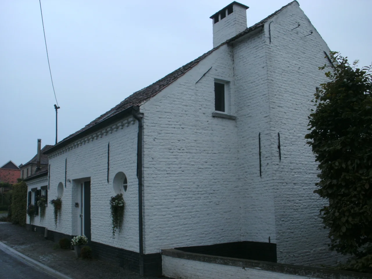
The Eight Mills of Erpe-Mere
Eight water mills once worked the Molenbeek through Erpe-Mere. Six are now legally protected. One that was not has been quietly converted into a private house, which is its own kind of survival. The names are pure Flemish: the Engelsmolen at Aaigem, the Ratmolen also at Aaigem, the Zwingelmolen where only the place the wheel once spun remains, the Cottemmolen at Erpe with its front view and side view still intact, the Van Der Biestmolen further along, the De Graevemolen at Mere, the Gotegemmolen, and the Molen te Broeck. To walk the brook is to walk past the slow industrial archaeology of a region that ground its grain locally for as long as that made any sense at all.
The Windmill on Koudenberg
The Kruiskoutermolen sits on the Koudenberg, one of the highest hills in the community - 'high' in this part of Flanders is a relative thing, more a gentle swell than a peak. The windmill was restored in 2004 by a studio in Roeselare and remounted on its base in 2006, and it is operational now. Visitors can book a tour through the local tourist office. It is the kind of restoration that small Belgian villages do extraordinarily well: not as a museum exercise, but with an understanding that working machinery has its own dignity. The water mills and the windmill together sketch the older logic of the Denderstreek - one where geography wrote the economy, and the economy wrote the names.
The Confusion of Two Brooks
There is a separate 22-kilometer brook also called the Molenbeek that flows through the same general region - through Erpe-Mere and Herzele - which belongs to the entirely different Drie Molenbeken drainage. Even the locals find this confusing. The two brooks are not the same and do not connect, but they share a name because every mill brook was a Molenbeek before anyone needed to disambiguate. The 25-kilometer Molenbeek-Ter Erpenbeek is the one that ends at Hofstade and disappears into the Dender. The 22-kilometer one runs to the Bovenschelde. When the locals call it just 'the Molenbeek,' you generally have to ask which one.
Following It From the Air
From altitude, the Molenbeek-Ter Erpenbeek is a thread - sometimes lost in tree cover, sometimes visible as a narrow corridor of greener vegetation snaking through the geometric patchwork of Flemish farmland. The clearest navigation reference is its mouth at Hofstade, where it joins the Dender just upstream of Aalst's industrial north side. Trace it back southwest through Erpe and Mere and Aaigem - the village clusters mark the old mill sites - and you reach the rising ground around Zottegem where the brook begins. In summer the water tower at Erpe stands out white against the green.
From the Air
The Molenbeek-Ter Erpenbeek rises in Godveerdegem near 50.85°N, 3.81°E and runs about 25 km northeast, joining the Dender at Hofstade near 50.95°N, 4.03°E. The brook is too small to be a primary navigation feature, but its mouth at the Dender north of Aalst is a useful waypoint, and the chain of villages along its course - Aaigem, Erpe, Mere - is visible from low altitudes. Brussels Airport (EBBR) is 30 km east; Antwerp (EBAW) 35 km north. Use the larger Dender or the E40 motorway as primary references and the Molenbeek as a secondary identifier.
Nearby Stories
- Hof van Cleve 1.7 km away
- Sint-Niklaas 6.8 km away
- Great Beguinage, Leuven 9 km away
- Battle of Beverhoutsveld 9.4 km away
- Westmalle Abbey 16 km away
- Belgium 35 km away
- Courrieres Mine Disaster 50 km away
- Fort Jeanne d'Arc 199 km away