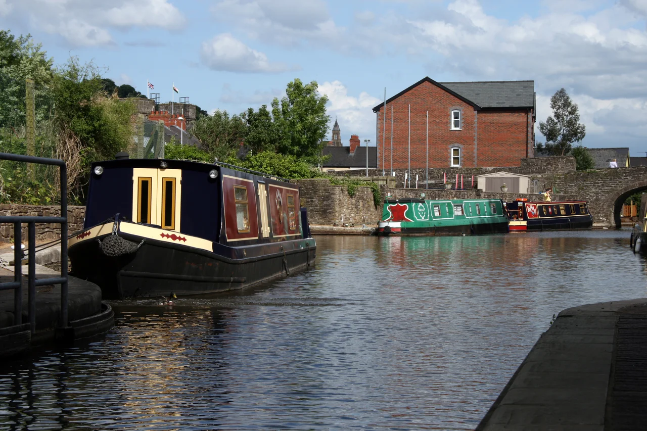

Monmouthshire and Brecon Canal
In 1796 the Monmouthshire Canal carried 3,500 tons of coal a year. By 1809 it carried 150,000 tons. That growth is a graph of the Industrial Revolution in one waterway, the iron and coal of the South Wales valleys feeding into the docks at Newport and from there out to the world. The Mon and Brec, as boatmen called it, was originally two separate canals, the Monmouthshire from Newport to Pontymoile and the Brecknock and Abergavenny from Pontymoile to Brecon, both built by acts of Parliament and both intended to make money. They did, for a while. Then railways arrived. Today, 35 navigable miles of the canal wind through the Brecon Beacons National Park, and the rural calm of the towpath gives no hint of the industrial fury that paid for it.
Two Canals, One Network
The Monmouthshire Canal was authorised by an Act of Parliament passed on 11 June 1792, allowing the new Company of Proprietors of the Monmouthshire Canal Navigation to raise £120,000, with another £60,000 in reserve, to dig a waterway from Pontnewynydd down to the River Usk near Newport. A Crumlin branch was included to tap the coal of the Sirhowy Valley. The Brecknock and Abergavenny Canal followed by a separate act on 28 March 1793, raising £100,000 to extend navigation up the Usk Valley to Brecon. Both acts gave the companies the unusual power to construct railways from the canal to any mine, quarry, or ironworks within 8 miles, and they used that power aggressively. Thomas Dadford Jr., one of a remarkable family of canal engineers, supervised the Monmouthshire's construction. The two canals joined at Pontymoile, and from the moment they did, they functioned as a single highway out of the iron valleys.
The Tramroads That Fed It
A canal is only as useful as the network feeding it. The Mon and Brec spawned dozens of horse-drawn tramroads running down from the collieries and ironworks at the heads of the valleys. The Sirhowy Tramroad was constructed between 1802 and 1805 with later branches to the Trefil limestone quarries and the Union Ironworks at Rhymney. The Hay Railway, joined at Eardisley in 1820 by the Kington Tramway, formed a 36-mile continuous plateway across the Welsh-English border, the longest of its kind ever completed in the United Kingdom. The tramways used cast-iron L-shaped plates spiked to stone blocks, sized so that horses could trot between the rails unimpeded. The whole arrangement was conversion-ready: the Sirhowy was reborn as a standard-gauge railway in 1863, the Hay was absorbed into the Hereford, Hay and Brecon Railway in 1860. By then, of course, the trains were eating the canal's lunch.
The Decline Years
Coal traffic peaked early and the railways killed the rest. By the 1850s, schemes were being proposed to abandon the Monmouthshire Canal outright. In 1865 the Monmouthshire Company, by then reconstituted as the Monmouthshire Railway and Canal Company, bought the Brecknock and Abergavenny outright in an attempted consolidation. It came too late. The Monmouthshire's southern section gradually closed for commercial traffic. In 1853, the stretch from Pontymoile to Pontnewynydd was filled in and converted into a railway, with the loss of 11 locks. The Crumlin branch was abandoned commercially in 1930 but kept watered. In February 1946 a serious breach occurred at Abercarn; the canal had not carried boats for 16 years but the breach was repaired anyway, and then the branch closed for good in 1949. Both canals were formally abandoned in 1962. The waterway that had carried the Industrial Revolution out of the valleys had run out of cargo.
The Resurrection
Restoration began in 1970. The Brecknock and Abergavenny route reopened in stages and is now navigable from Brecon to Pontymoile, a beautiful 35-mile run along the southern flank of the Black Mountains. Volunteers led by the Monmouthshire, Brecon and Abergavenny Canals Trust, working alongside Newport City Council and a chain of grant-makers, have steadily rebuilt locks on the southern Monmouthshire too. The top lock of the Cefn Flight at Fourteen Locks was restored by volunteers in 2003. A Heritage Lottery Fund grant of £700,000 in 2007 covered the next four locks. A 2012 grant of £854,500 funded the restoration of eight more locks near Ty Coch. In May 2010 the Welsh Waterways Festival brought over 30 boats and 15,000 visitors to Newport, with vessels cruising from Barrack Hill to Pentre Lane in Torfaen Borough for the first time in 84 years. The work continues. So does the dream of reconnecting the canal to the Usk at Crindau with a new marina.
The Day the Gilwern Bank Failed
On 16 October 2007, part of the canal bank near Gilwern collapsed. Eight people were rescued by local fire and emergency services. The A4077 road between Crickhowell and Gilwern closed, two families had to leave their homes, and 23 hire boats were stranded and had to be craned out. British Waterways drained 16 miles of the canal between Llanover and Llangynidr for full inspection, and engineers faced the unusual problem of moving 100,000 fish to safe water before the survey could be completed. Investigators found over 90 leaks on the Talybont to Gilwern section. Total restoration cost ran to around £15 million. The canal reopened on 29 March 2009, the ribbon cut by waterways minister Huw Irranca-Davies and First Minister Rhodri Morgan. More recently, new water abstraction rules from the River Usk have raised the prospect that during dry summers the locks may have to close to preserve river flow. Glandwr Cymru, the trust that now operates the canal, has warned this could mean an end to boat traffic in dry years. Two and a half centuries on, the canal still depends on the same delicate hydrology its 18th-century engineers had to figure out, and the work of keeping it open is never quite finished.
From the Air
Canal runs roughly 35 miles from Brecon (51.95°N, 3.39°W) southeast to Pontymoile and on toward Newport. Recommended viewing altitude 2,500-4,000 ft AGL to follow the canal's contour line along the southern slopes of the Black Mountains and into the Usk Valley. Visual landmarks: the dark mass of the Brecon Beacons to the west, the Sugar Loaf mountain north of Abergavenny, and the meandering River Usk. Nearest airports: Cardiff (EGFF) approximately 35 nm south of the central section, Bristol (EGGD) 40 nm southeast. Welsh valley weather is changeable; the canal often holds mist on autumn mornings.
Nearby Stories
- Ewenny Priory 4.1 km away
- Tower Colliery 5.3 km away
- British Camp 8 km away
- Berkeley Castle 8.8 km away
- Hay Castle 11 km away
- Clevedon Pier 11 km away
- Royal Victoria Park 15 km away
- Strata Florida Abbey 35 km away