
Moray Firth
From Buckie on a clear day you can see Wick, fifty miles up the coast. From Lossiemouth you can pick out the hills of Caithness - the rounded mass of Morven, the long ridge of Scaraben. From Burghead, with very good light, the white face of Dunrobin Castle materialises across the water. The Moray Firth is large enough to hold these long sight-lines, large enough to contain its own weather, and old enough that its name gave its name to the medieval kingdom of Moray, which in turn became the name of a province of Scotland.
A Triangle of Sea
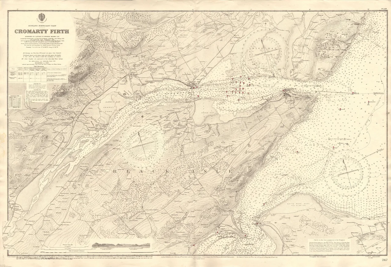
Geographically the Moray Firth is a roughly triangular inlet of the North Sea, with its three corners at Duncansby Head in the far north of Caithness, Fraserburgh in eastern Aberdeenshire, and the city of Inverness at the apex of the western end. It is the largest firth in Scotland - more than 800 kilometres of coastline, much of it cliff. Three council areas share its shores: Highland to the west and north, Moray and Aberdeenshire to the south. Inside the triangle, smaller firths nestle: the Cromarty Firth and the Dornoch Firth on the north coast are themselves true fjords, carved by the great glacier that filled the whole basin during the last ice age. The Pentland Firth, the storm-racked channel between the mainland and Orkney, opens off the northern boundary.
The Bottlenose Dolphins
Off Chanonry Point on a rising tide, sometimes within a few metres of the shore, the bottlenose dolphins surface. They are the most northerly population of the species in the world. The inner firth is home to perhaps 200 of them, the only resident bottlenose population in the North Sea - bigger and burlier than their warm-water relatives, equipped for colder water. They hunt salmon at the narrow channel where Chanonry Point pushes out into the firth, often visible from the small lighthouse there. Harbour porpoises share the inshore waters. Minke whales and common dolphins appear less often. The Whale and Dolphin Conservation Society runs visitor centres at Spey Bay and North Kessock. The inner Moray Firth is a Special Area of Conservation under the EU Habitats Directive - one of the largest marine protected areas in Europe.
Oil, Then Wind
About twenty miles south of Wick lay the Beatrice oilfield - the closest of the North Sea oil fields, discovered in 1976 and producing first oil in 1981. Beatrice was decommissioned in 2017. On the same shallow seabed, on the same patch of firth, the Beatrice Offshore Wind Farm now stands - 84 turbines providing power to roughly 450,000 homes. The transition continues. The Moray East wind farm came on line in 2022. The larger Moray West was completed in 2025. Together with Beatrice they form one of the densest concentrations of offshore wind generation anywhere in the United Kingdom. The fishing industry that remains works the firth for scallops and Norway lobsters. The North Sea oil rigs that once dominated the horizon have largely been replaced by the slowly turning blades of the wind farms.
Where the Name Came From
Moray and the Moray Firth share a name and possibly a meaning. Linguists have argued for two derivations from Gaelic and Celtic roots. One traces it from Muir, the Gaelic word for sea, giving Murar or Morar. The other reads it from the Celtic Mur (sea) and Tav (side), condensed to Mur'av - the sea-side. Either way the name is older than the kingdom of Scotland, older than English in this part of the world, and probably older than written records. Older spellings drift through the documents: Murro Firth, Morra Firth, the province itself once called Morrowshire. From the air the firth still looks essentially the same as it did when the Picts ruled here and the kings of Fortriu raised their bulls on the ramparts of Burghead - a long triangle of grey-blue water with mountains rising behind it on three sides, dolphins working the tide, and the wind always coming from somewhere.
From the Air
The Moray Firth centres on roughly 57.75 N, 3.50 W. From cruise altitude the triangular shape is unmistakable - Inverness at the western apex, Duncansby Head to the north-east, Fraserburgh to the east. Major airports around the firth: Inverness (EGPE) at the western end, RAF Lossiemouth (EGQS) on the south shore at 57.71 N, Wick (EGPC) on the north coast at 58.46 N. From the south coast watch for Tarbat Ness Lighthouse with its two red bands, visible from Nairn 20 miles away with binoculars. On clear days the offshore wind farms (Beatrice, Moray East, Moray West) make patterns of slowly turning lights at night. Chanonry Point, in the inner firth, is the place to look for dolphins - approach from above and you may see them at the surface.
Nearby Stories
- Cardhu Distillery 1.5 km away
- Clynelish Distillery 1.8 km away
- Hilton of Cadboll Chapel 3.1 km away
- Huntly Castle 3.4 km away
- Findlater Castle 6.3 km away
- Culloden Viaduct 12 km away
- Helmsdale 23 km away
- HMS Exmouth (H02) 39 km away