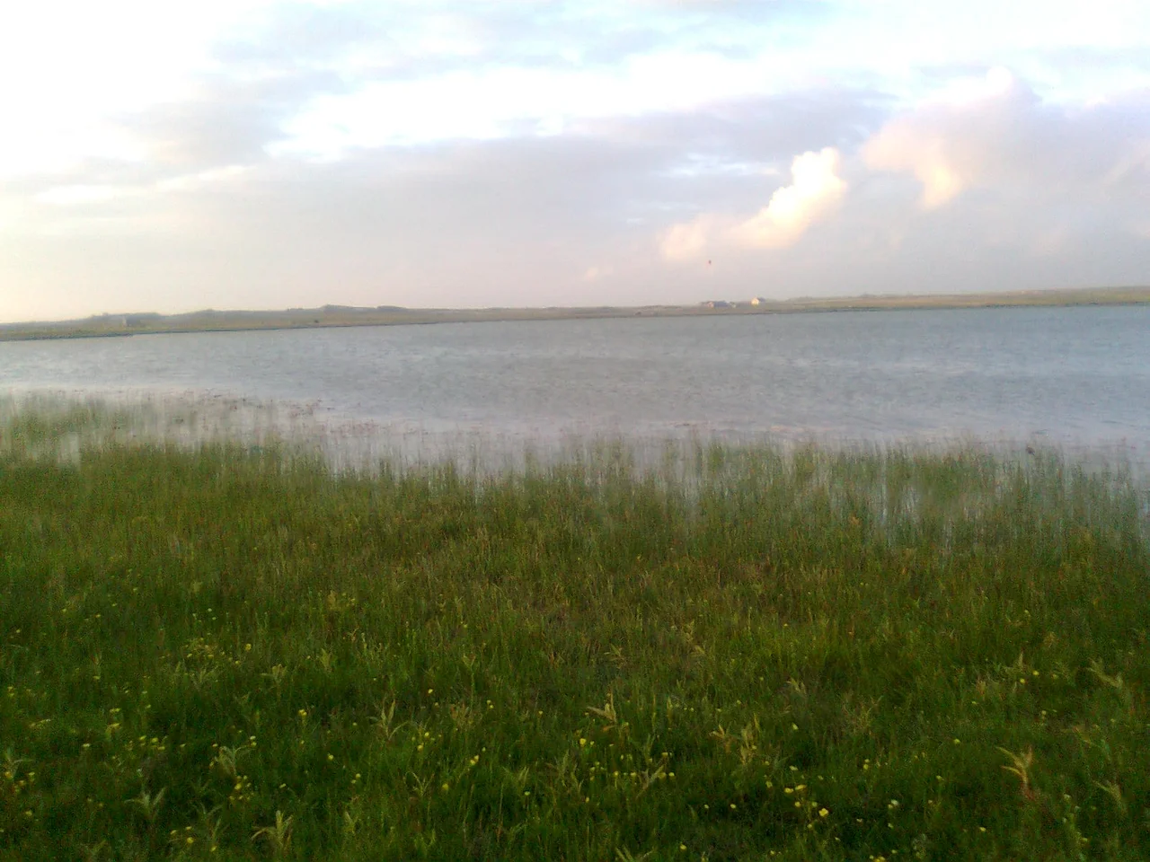

Mullet Peninsula
On a map, the Mullet Peninsula looks like a fishhook flung out from the west of Ireland and snagged on the Atlantic. It is doglegged, narrow, in places only 200 metres wide. The town of Belmullet, anchoring the isthmus, has about 1,000 inhabitants. The whole peninsula has 3,963. From its northernmost tip at Erris Head to its southern villages, the land never gets far from the sea, and the sea never lets you forget it is there. Two bays cup against the peninsula: Blacksod Bay on the south side, Broadhaven Bay on the north. The shape of the place determines almost everything about life on it.
The Isthmus and the Bays
Look at the Mullet from above and you understand its geography in a single glance. A long thin spit of land hangs westward from the County Mayo coast, joined to the mainland only at Belmullet by an isthmus so narrow that a canal cuts cleanly through it. The southern side faces Blacksod Bay, sheltered and shallow, the bay where the body of a British soldier washed ashore in August 1940 during the Second World War coast-watching. The northern side faces Broadhaven Bay, opening directly to the Atlantic and to the deep-water shipping lanes beyond. The villages, Aughleam, Elly, Corclough, Binghamstown, are scattered along the peninsula's length. Erris Head, the northernmost tip, sits high above the sea where puffins nest in summer. The doglegged shape means that no part of the Mullet is more than a few minutes from salt water.
Saint Brendan's Departure
According to legend, St. Brendan the Navigator established a monastery at Inishglora, the small island just off the western coast of the Mullet, at the start of his great sea voyage. Brendan is the Irish saint whose seventh-century travels supposedly carried him as far as the Americas. Whatever the historical reality of his journeys, the local tradition is firm: he stopped here, he prayed here, and he launched from here. Inishglora is also the place where, in older mythology, the cursed Children of Lir finally returned to human form and died after nine hundred years as swans. The same small island holds both stories. Other islands lie off this coast: the Inishkea Islands, evacuated in 1934 after generations of decline; Duvillaun; the rocky base of the Eagle Island lighthouses; Blackrock with its own light further south. Each has its own story of inhabitation, evacuation, and silence.
Irish, Daily and Disappearing
The Mullet Peninsula belongs to the Mayo Gaeltacht, the network of Irish-speaking districts that the Irish state designates and supports. According to the 2016 census, about 8% of the population speak Irish daily outside the education system. The figure is much higher among schoolchildren, and rises every summer when Irish-language summer schools fill the area with teenagers from Dublin and abroad. The signs on the roads are in Irish first, English second, sometimes only in Irish. Place names tell their own story: An Mhuirthead, possibly meaning 'isthmus,' is the Irish for Mullet itself, though the etymology is disputed. Bernard O'Hara in his book on Mayo heritage notes that a common Irish change from 'L' to 'R' may have transformed an Mhuileat into an Mhuireat into an Mhuirthead over the centuries. The English name may even come from the fish, or from the star shape in heraldry. The disagreement is itself part of the place.
Sites, Towers, Beaches
The Saint Deirbhile heritage centre at Aughleam near the southern end gathers books and local history; the saint's church and well are a couple of miles south, the well still credited with curing eye complaints. Glosh Tower on Termon Hill, one of 82 signal towers the British built along the Irish coast between 1801 and 1806 against the threat of Napoleonic invasion, sits high enough to command a view of most of the peninsula. Sculptures stand on Glosh Beach. The Carne Golf Links, designed by Eddie Hackett, ranks among the world's best. Surfers and kitesurfers work the beaches on the Atlantic side. Bus Éireann route 446 connects the peninsula to Belmullet, Bangor Erris, and ultimately Ballina, one service a day in each direction. The peninsula is on the Wild Atlantic Way, which has brought tourism, money, and a certain amount of attention to a place that for centuries got along without much of either.
From the Air
The Mullet Peninsula extends from 54.10°N to 54.32°N along approximately 9.97°W to 10.15°W, jutting west from County Mayo. The narrow isthmus at Belmullet, where Carter's Canal cuts the land in two, is the easiest visual anchor. Erris Head marks the northernmost point; the southern tip is at Fallmore near St. Dairbhile's Church. Belmullet Aerodrome (EIBT) sits 2 NM west of the town centre. Ireland West Airport (EIKN) at Knock is roughly 75 km east. From altitude in clear weather, the doglegged shape, the two bays, and the offshore islands (Inishkea, Inishglora, Eagle, Blackrock) all stand out cleanly. Atlantic weather is volatile; mornings often offer the best photographic light.
Nearby Stories
- Achill Island 1.4 km away
- Ballycastle, County Mayo 10 km away
- Battle of Castlebar 17 km away
- Action of 7 May 1794 27 km away
- Glencolmcille 55 km away
- RMS Carinthia (1925) 84 km away
- RMS Empress of Britain (1930) 87 km away
- The Laki Eruption: The Volcano That Changed World History 1149 km away