
Murat Bay
Two ships had circled this coast in the same season, one French and one English, and the maps they left behind still argue with each other. The English captain, Matthew Flinders, sailed in looking for fresh water, found none, and named the larger sound Denial Bay in disappointment. The French, arriving close behind, were in a naming mood of a different sort: they christened the sheltered inner bay after Joachim Murat, a dashing cavalry marshal of Napoleon's empire who would never come within ten thousand miles of it. Murat Bay is that inner water - a quiet, shallow inlet at the far western tip of South Australia's Eyre Peninsula, where the open swell of the Great Australian Bight finally lies down and goes still.
A Marshal Who Never Came
The naming was almost an afterthought. Nicolas Baudin first marked the bay as Baie des Saints; then his naturalists François Péron and Louis de Freycinet, working up the charts from the same expedition, renamed it Baie Murat after Joachim Murat, Marshal of France and one of the most flamboyant soldiers of the Napoleonic Wars. The English version simply translates the French. It is a strange inheritance for a stretch of Wirangu country on the underside of the world - a bay carrying the name of a European cavalryman, fixed to the map by sailors who anchored briefly and moved on. Flinders and Baudin had actually met at sea that same year, 1802, two rival nations charting the unknown southern coast almost shoulder to shoulder, trading courtesies while their governments edged toward war.
The Town That Changed Its Name
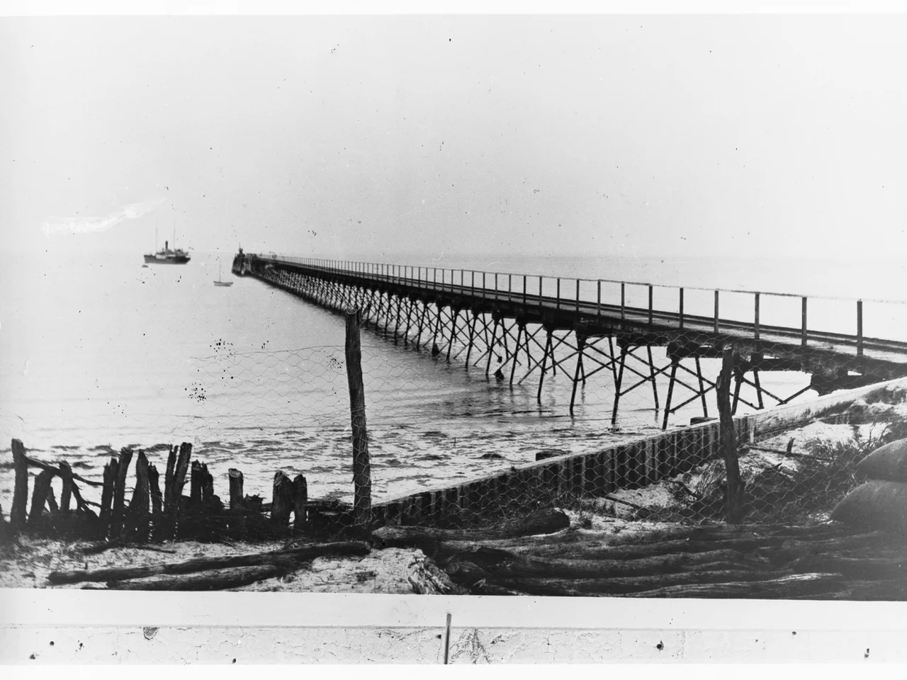
On the shore of the bay sits Ceduna, the last sizeable town before the Nullarbor swallows the highway. Its name comes from the Wirangu word often rendered chedoona, understood to mean a place to sit down and rest - which is what travellers still do here before the long, treeless crossing west. For years locals simply called the settlement Murat Bay. Only when the railway arrived and labelled its siding Ceduna in 1915 did the older Aboriginal name take hold and stick. Today the town is known for its oysters, pulled from the cold, clean water of the bay and the bays beyond, and for the jetty at Thevenard where grain and gypsum still move out to sea past the same cape the French named for a minister of their navy.
Where the Birds Gather
Geography here is a matter of fine print. Murat Bay is the enclosed water bounded by Cape Thevenard and Matts Point; Denial Bay is the broader sound beyond, screened from the open ocean by the low islands of the Nuyts Archipelago. Together with neighbouring Tourville Bay, these shallow, sheltered waters form a recognised Important Bird Area - tidal flats and seagrass beds that draw migratory shorebirds along the southern coast. At low tide the bay drains to a glistening expanse of sand and mud, the kind of edge where wading birds probe and the light goes flat and silver under a very large sky.
From the Air
Murat Bay lies at 32.12°S, 133.65°E, the innermost water at the western end of Eyre Peninsula. Approach from the Great Australian Bight: look for the town of Ceduna and the long grain-and-gypsum jetty at Cape Thevenard on the bay's eastern shore, with the low islands of the Nuyts Archipelago screening Denial Bay seaward to the west. Ceduna Airport (ICAO YCDU) sits just north of town with a sealed runway. The nearest major airport is Port Lincoln (YPLC) roughly 300 km southeast. Recommended viewing altitude 2,000-4,000 ft AGL for the tidal flats and archipelago. Visibility is typically excellent in this dry coastal air, though afternoon sea breezes and salt haze can soften the horizon over the Bight.
Nearby Stories
- Point Bell Conservation Park 16 km away
- St Francis Island 50 km away
- Poochera, South Australia 65 km away
- Nundroo, South Australia 97 km away
- Murphy's Haystacks 106 km away
- Wilgena Station 123 km away
- Tarcoola railway station 144 km away
- Great Australian Bight 312 km away