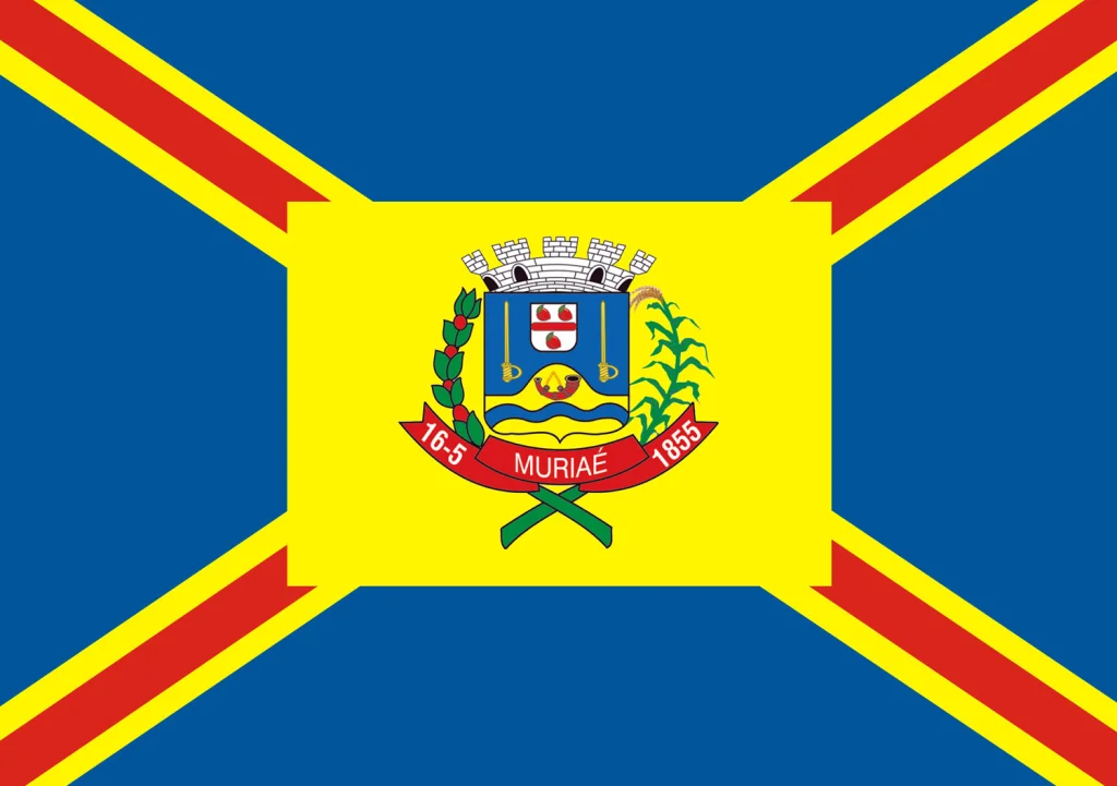
Muriaé
Taste of sweet sugarcane. That is what the indigenous word means, the name these valleys carried long before the Portuguese arrived with their ledgers and their chapels. In 1817, a seller of herbs and medicinal roots named Constantino José Pinto came down the Pomba River with forty men and stopped at the waterfalls. He built a hut. That small encampment grew, over two centuries of railroad and coffee and highway, into Muriaé - a municipality of 104,000 people in the Zona da Mata region of Minas Gerais, where two major Brazilian highways meet and the Muriaé River pushes east through 300 kilometers of muddy, cold water toward its rendezvous with the Paraíba do Sul.
The Herb Seller and the Frenchman
Constantino José Pinto and his forty men were looking for herbs and medicinal roots when they found the waterfalls on the river, but they stayed for the soil. Two years later, in 1819, the Frenchman Guido Tomáz Marliére arrived and built a chapel, giving the scattered homesteads a religious center. The place slowly acquired a name - São Paulo do Muriahé - and in 1841 the provincial government made it an official district. A village in 1855. A comarca in 1865, when it finally became a city. The original Muriahé kept its old spelling until 1923, when bureaucratic reforms shifted the accent and dropped the silent h. The city had been Muriahé for longer than it has been Muriaé, but you would not know that from the cheerful signs on the highway today.
Arrival of the Iron Road
The Leopoldina railroad line opened a station at Muriahé in 1886, and the town's trajectory changed overnight. Coffee could now be moved at scale from the red-soil hills down to the coast. Merchants prospered. New neighborhoods spread along the rail line. By 1910 electricity came to the city, a small revolution of lightbulbs and wired shops. The first water and sewage systems arrived in 1911. Urban telephone service followed in 1913. These years, between the laying of the rails and the spread of the wires, are when provincial Brazil began to feel modern - and Muriaé got the full treatment ahead of many neighbors.
The River That Runs Through
The Muriaé River begins in the Serra das Perobas, near where Minas Gerais meets Rio de Janeiro state, and flows generally west to east. It is a cold, muddy river, not the kind that tourists photograph, but it feeds the drinking water of several municipalities along its course and irrigates their farms. At one point along its run, it passes Cachoeira da Fumaça - the Smoke Waterfall - in the Retiro do Muriaé district. Forty of the river's 300 kilometers are navigable for small boats. The old Leopoldina Railway and highway BR-356 follow its banks almost the entire way. A river, a railroad, and a highway, all tracking the same course through hills that were once Atlantic Forest.
Coffee and Coconut Country
Muriaé sits at the intersection of BR-116, the old Rio-Bahia route, and BR-393. That crossroads shaped its economy. Coffee and coconut grow in the surrounding farms - a combination unusual enough that it surprises newcomers, coconuts this far inland. Cattle raising fills out the agricultural calendar. Light industry and services round out the local economy. The average annual temperature is 26 degrees Celsius, the elevation a gentle 209 meters, the area 843 square kilometers. Belo Horizonte, the state capital, is 363 kilometers to the northwest - close enough for a weekend, far enough to preserve a different rhythm. The municipality shares borders with twelve other towns, a patchwork of small Minas Gerais settlements whose names - Ervália, Miradouro, Eugenópolis - read like a roll call of nineteenth-century optimism.
The City Now
Four institutions of higher education now operate in Muriaé - IFSUDESTE, FAFISM, FAMINAS, and UNIPAC - giving the city a student population that would have astonished Constantino's herb-selling partners. The IBGE census of 2022 counted 104,108 inhabitants, ranking Muriaé among the larger cities of southern Minas Gerais. The footballer Ney Mineiro, born here in 1981, went on to play professionally. The Muriaé microregion that the city once defined has been reorganized under newer administrative geographies - since 2017, the town belongs to the Juiz de Fora Intermediate and Muriaé Immediate Geographic Regions, nested bureaucratic labels that describe the same basic truth: this is a river valley city, anchored by a crossroads, still tasting of sweet sugarcane two centuries after it chose its name.
From the Air
21.13°S, 42.37°W. Muriaé sits in the valley of the Muriaé River in the Zona da Mata region of Minas Gerais, at an elevation of 209 meters, with hills rising on either side. Recommended viewing altitude 2,500-4,000 m AGL to see the urban footprint threaded along the river corridor between green hills. Nearest airports: SNBV (Campos dos Goytacazes) 130 km southeast, SBIU (Ipatinga) 280 km northwest. Humid tropical climate; afternoon convective buildups common in summer months.
Nearby Stories
- Ubá 8.7 km away
- Leopoldina, Minas Gerais 31 km away
- Viçosa, Minas Gerais 57 km away
- Juiz de Fora 58 km away
- Itaboraí Formation 77 km away
- Inconfidência Mineira 86 km away
- Paraiba do Sul 98 km away
- Pedra Azul State Park 102 km away