Nieuwpoort, Belgium
There is a small square in Nieuwpoort named after a man most travel guides do not bother to explain. Hendrik-Geeraertplein. The man it commemorates was fifty-one in October 1914, a lock-keeper on the local waterways, the kind of person whose job had not historically been considered glamorous and whose name had not historically appeared on squares. He spent four nights at the end of that October opening sluice gates at the mouth of the Yser. By dawn on the fifth morning, the water he had let in had turned the polders south of his town into an impassable shallow sea that stretched as far as Diksmuide. The German Imperial Army stopped where the water began. The Belgian front held for the next four years on the line his lock keys had drawn.
The Goose Foot
Nieuwpoort exists because of water management. The Yser, the Ypres Canal, and several smaller waterways converge here before draining into the North Sea, and in the nineteenth century the Belgian state built a great splayed lock system to control all of it. The shape of the lock complex from above suggested the toes of a bird, so locals call it the Ganzepoot, the goose foot. Six channels, six sets of gates, all meeting at a single management hub. In normal years the system kept the polders dry by letting the Yser drain at low tide and shutting against the sea at high. In October 1914 the same system became a weapon. Open the sea gates at high tide. Keep them open. Repeat with the tributary gates. Salt water flows uphill, fills the polders, and stays.
Geeraert and Cogge
Hendrik Geeraert was not the only Belgian who turned the keys. A bargeman named Karel Cogge, who knew the sluice geometry intimately from his peacetime work on the Veurne-Ambacht canal system, helped plan the inundation. Belgian engineers, soldiers and the staff of King Albert's headquarters in Veurne coordinated the timing with the tides. But it was Geeraert who climbed onto the gates and turned the great iron wheels, who waded back in waist-deep water to do it again the next night, who knew which gates to leave shut so the polders would fill without flooding Nieuwpoort itself. The first abortive attempt was on the night of 21 October. The successful flooding ran on the nights from 26 to 30 October, timed to four successive high tides. By 31 October the water was a wall about a mile wide along the river. The German attack scheduled for that morning was called off when commanders realised the ground behind their forward units was filling up.
A Town Made City in 1163
Long before the war Nieuwpoort had been a working port for eight hundred years. Count Philip of Flanders granted it city rights in 1163, and the medieval town became a base for the Dunkirkers, the privateers who preyed on Dutch and English merchant shipping under Spanish license. Painter Victor Boucquet, born in nearby Veurne in 1619, made two altar pieces for the great church here. The fifteenth-century grain hall with its belfry was added to the UNESCO World Heritage list in 1999 as part of the Belfries of Belgium and France, recognised for its civic rather than religious importance. In 1600 the dunes just west of town were the setting for the Battle of Nieuwpoort, where Maurice of Orange's Anglo-Dutch army defeated an Archducal Spanish force in one of the rare open-field victories of the Eighty Years' War.
After the Flood
The First World War did not end in 1914. The inundation held the German army out of the last sliver of unoccupied Belgium, but the trenches that grew up along the western edge of the flooded zone became a four-year siege under bombardment. Nieuwpoort itself was wrecked. November 1917 photographs show the medieval town flattened to brick mounds. After 1918 the Belgians rebuilt it carefully, copying the old street plan and reconstructing the grain hall and the Notre-Dame church to their pre-war silhouettes. Two monuments now sit close to the Ganzepoot. The Nieuport Memorial honours the British soldiers with no known grave who fell in the sector. The King Albert I Memorial, an enormous rotunda, frames a bronze equestrian statue of the king who refused to leave Belgian soil.
Searching for Utopia
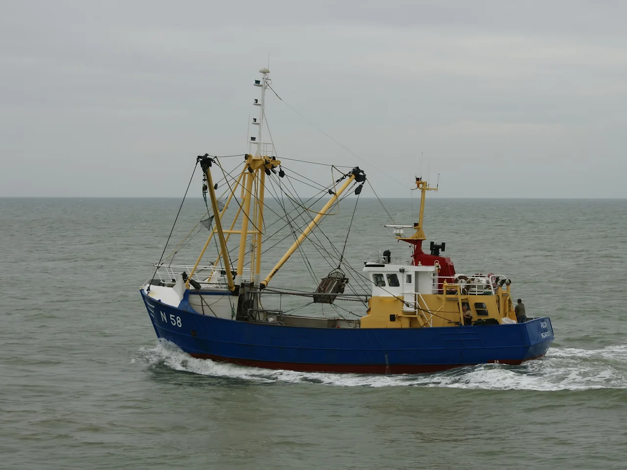
On the marina at Nieuwpoort, the Belgian artist Jan Fabre installed a bronze sculpture called Searching for Utopia in 2003. It is a man on the back of an oversized tortoise, riding into the harbour as if the slowest animal in creation could still get him somewhere worth going. The town is now part fishing port, part holiday resort, part pilgrimage site for those who come for the war monuments. The old centre is three kilometres from the beach, the new tourist district hugs the dunes, and the two halves merge along the Albert I Laan, named for the king whose face appears in coastal squares the length of the country. The Yser runs through it all. The goose foot still works, gates opened and closed by a small team whose names do not appear on squares.
From the Air
Nieuwpoort lies at 51.1294 N, 2.7514 E, at the mouth of the Yser on the Belgian North Sea coast. From altitude the Ganzepoot lock complex is unmistakable: six channels converging at a single hub just inland of the marina. The medieval town centre sits about 3 km from the beach. The King Albert I Memorial rotunda is a prominent ground feature. Closest airports are Ostend-Bruges (EBOS) 18 km northeast and Lille-Lesquin (LFQQ) 75 km south. Recommended viewing altitude 2,000 to 4,000 feet. Coastal sea fog common spring and autumn; the broad inundation plain south of town in 1914 is now drained farmland.
Nearby Stories
- Port of Zeebrugge 3 km away
- 1921 SNETA Farman Goliath ditching 4.5 km away
- 1382 Dover Straits Earthquake 7.7 km away
- HMS Wakeful (H88) 8.2 km away
- Battle of Mouscron 8.4 km away
- Battle of Cassel (1677) 10 km away
- 1933 Imperial Airways Ruysselede Crash 12 km away
- Boulonnais 26 km away