Niland Geyser
It is not really a geyser. The water is not hot — it measures about 80 degrees Fahrenheit, barely warmer than a swimming pool. There is no geothermal heat source below it, no superheated rock driving water toward the surface. What the Niland Geyser does, which makes it genuinely singular among geological features anywhere on Earth, is move. The pool of bubbling mud and water designated W9 by geologists, and nicknamed the Slow One by locals, has been migrating laterally across the desert floor southeast of the Salton Sea. By 2020 it was traveling at ten feet per month. It does not stop. And it has been heading, with the geological patience of something that operates on its own schedule, toward California State Route 111.
What Makes It Move
The Niland Geyser is one of roughly 33 mudpots and mud volcanoes scattered near the southeastern shore of the Salton Sea, most of them arranged in a line that follows a fault trace. W9 is an outlier from that line — its position off the main alignment is itself unusual. The feature forms where carbon dioxide released by tectonic activity rises through the ground. As the San Andreas Fault and the East Pacific Rise interact at the southern end of the Salton Trough, they compress sediment from the Colorado River delta into sandstone and greenschist, releasing gas in the process. That carbon dioxide finds pathways to the surface, carrying water and mud with it and forming a pool. The hydrogen sulfide that accompanies it — easily identified by the smell of rotten eggs — may come from rotting algae or from geological sources deeper below.
The Tilted Channel
Geologists David Lynch and Travis Deane developed a hypothesis to explain why the geyser moves when all other mudpots sit still. They propose that the carbon dioxide travels through the subsurface via a tilted channel, with the gas eroding the upper side of the channel as it rises and sediment accumulating on the lower side. Over time, the channel tilts further, and the surface expression of the spring — where the mudpot appears — migrates in the direction of the erosion. If the hypothesis is correct, the geyser should eventually stop moving when it reaches a point directly above its subsurface source. That point may still be some distance away. For the communities and infrastructure in the geyser's path, the wait has been costly.
The Infrastructure Problem
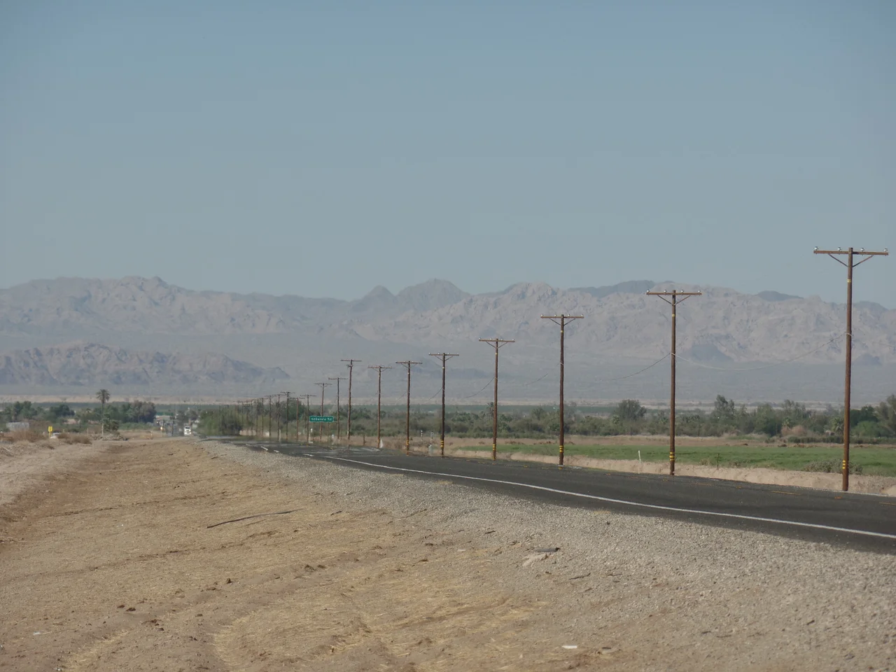
A migrating geological feature becomes an engineering emergency when it migrates toward things people built and depend upon. Kinder Morgan was the first major infrastructure operator to confront the problem directly — the company was forced to reroute the Santa Fe Pacific Pipeline it owns in early 2019, after the geyser's trajectory made continued operation along the original route untenable. California Route 111, the highway connecting Inland Empire communities to the Yuma, Arizona corridor, came next. The California Department of Transportation spent millions building temporary roadways and mitigation structures to protect the highway while the geyser crossed — or approached — its alignment. Lane closures, speed restrictions, and emergency work orders accompanied the geyser's progress through 2020 and 2021.
Suffocation and Spectacle
The geyser releases enough carbon dioxide to be genuinely dangerous. The gas, heavier than air, settles into the bowl-shaped crater of the mudpot and displaces oxygen at concentrations that can cause rapid suffocation in anyone who enters the low area without precautions. For this reason there is no public access — the feature sits on private land and is not approachable safely without specialized equipment. From a distance, and especially from the air, the mudpot appears as a small, unremarkable pool of turbid liquid in an otherwise flat agricultural landscape. The movement is too slow to see in real time. Only by comparing photographs taken months apart does the migration become visible — the slow, unstoppable walk of a geological feature across ground that humans assumed, incorrectly, was fixed.
From the Air
The Niland Geyser is located at approximately 33.285°N, 115.577°W north of the town of Niland in Imperial County. From altitude the feature is not readily distinguishable from the surrounding agricultural landscape. California Route 111 runs north-south through the area and the geyser's proximity to it has been the source of engineering concern. The Salton Sea is visible to the northwest. Imperial County Airport (IPL) is approximately 20 miles to the south.
Nearby Stories
- Brawley, California 8.5 km away
- Chuckwalla Mountains 11 km away
- Jacqueline Cochran Regional Airport 15 km away
- Carrizo Impact Area 15 km away
- Ocotillo Wells, California 22 km away
- Felicity, California 38 km away
- Camp Pilot Knob 65 km away
- Poston War Relocation Center 69 km away