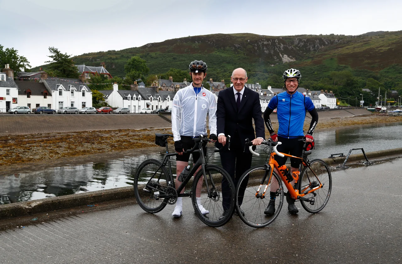

North Coast 500
It was always there. The main roads north of Inverness have been carving through the glens and hugging the coast for generations, and locals had been driving the loop for as long as there have been cars to drive it. What changed in March 2015 was the marketing. The North Highland Initiative gave the loop a name, a number, and a logo, and within a few years the North Coast 500 had become a wish-list item that travel magazines ranked alongside Route 66 and the Wild Atlantic Way. The road did not change. The traffic on it did.
What the Route Actually Is
The recommended itinerary runs 516 miles, starting and ending at Inverness Castle and threading clockwise through Wester Ross, Sutherland, Caithness, and Easter Ross. The main roads are two-lane and well kept, because they double as year-round truck routes, but they are winding and undivided and offer few safe places to overtake. Out on the western coast the route drops onto single-track lanes with passing places, the kind of road that can accept a single vehicle towing a caravan but not a convoy of them. A good week of driving handles the loop comfortably: 70 to 80 miles of road a day plus stops, moving on each morning, with shoulder seasons of Easter to June and September to October offering the longest light without the high-summer crush.
Bealach na Ba and the Western Lanes
The route's first real test comes about ten miles past Lochcarron on the way to Applecross. The Bealach na Ba, the Pass of the Cattle, climbs to 2,054 feet in long hairpin gradients on a single-track surface, then drops the other side in a five-mile zigzag at gradients reaching 1-in-8. It is the sort of road that finds out whether you know your fourth and fifth gears or just your brake pedal. Caravans and large vehicles are not permitted; they take the longer shore road north built in 1975, narrow and winding but without the climb. From Applecross the route runs through Torridon's loch scenery and onward to Gairloch, Inverewe Garden, and the dramatic ravine of Corrieshalloch Gorge before reaching Ullapool, the only town of any size on the western coast.
Across the Top
North of Ullapool the country empties further. Lochinver sits beneath the saw-tooth peak of Suilven; an elegant 1984 bridge spans the Kyles at Kylesku, replacing a ferry that ran until the bridge opened. Scourie, Kinlochbervie, and Durness mark out the coast in lonely punctuation, and at Durness you can take a tiny ferry to a minibus that lurches eleven miles to Cape Wrath, the mainland's northwest corner. Smoo Cave just east of Durness is a strange hybrid of sea cave and karstic sinkhole, big enough to hold a small concert. The road signs along this stretch still favour Gaelic, but the place-names take on a Norse cast; the Norse held the islands for centuries after their grip on the mainland was broken at Largs in 1263. John o' Groats itself is a famous disappointment, just a signpost and tourist shops, while the genuine attractions - Dunnet Head, the true northernmost point of Great Britain, and Castle of Mey, the late Queen Mother's summer residence - sit a short drive away on either side.
Down the East Coast
The eastern leg is gentler and more populated. Wick has the world's shortest street and the ruined cliff-top fortress of Castle Sinclair Girnigoe, smashed in a family feud by the family that built it. South of Wick the Whaligoe Steps drop into a former herring harbour cut from the cliff face. The country toward Lybster is studded with prehistoric monuments: Cairn o' Get, the Grey Cairns of Camster. Helmsdale was a destination of the Clearances, the place evictees were sent to rather than evicted from. Dunrobin Castle at Golspie belonged to the Duke of Sutherland, the man doing the evicting. Dornoch has a thirteenth-century cathedral. Tain has the Glenmorangie distillery. By the time you reach Dingwall and Muir of Ord, with another distillery at Singleton, the route is folding back into the lowlands and Inverness is just over the hill.
Victim of its Own Success
It worked, possibly too well. Visitor numbers climbed, small towns from Lochinver to Thurso reached audiences they had never reached before, and businesses grew up along the route. The same success brought problems. The main roads saw a 45 per cent rise in deaths and serious accidents in 2016 compared with 2014, and the single-track lanes became congested with drivers who would not use passing places or who travelled in convoys. Local journey times tripled in peak season. In 2018, tacks were scattered across the road on four separate occasions, motive never established. By 2021 reports of dirty camping and strained infrastructure were leading to suggestions the route had become a victim of its own marketing. In December 2025, NC500 Ltd commissioned a full economic and environmental impact analysis. The road remains gorgeous. It is no longer a secret.
From the Air
The NC500 forms a roughly 516-mile loop around Scotland's far north, centred on Inverness Airport (EGPE) at 57.54 N, 4.05 W. Wick John o' Groats Airport (EGPC) sits at the northeast corner near 58.46 N, 3.09 W, and Stornoway (EGPO) lies offshore on Lewis at 58.21 N, 6.33 W. The loop reaches roughly 58.6 N at Durness and dips south to about 57.5 N at Inverness; the western edge is around 5.7 W at Cape Wrath, the eastern around 3.0 W at Duncansby Head. Best appreciated 3,000-6,000 ft AGL to keep the coastline, the sea-lochs, and the inland peaks of Torridon, Assynt, and the Flow Country all in view. Weather changes fast over this country; respect the rapid coastal squalls and the orographic cloud over the western ranges.
Nearby Stories
- Cape Wrath Trail 6 km away
- Skibo Castle 7.3 km away
- Stoer Head Lighthouse 9.8 km away
- Fortrose Cathedral 9.9 km away
- Achiltibuie 12 km away
- Castle Leod 14 km away
- Assynt 18 km away
- Caithness and Sutherland Peatlands 22 km away