Northern State (Sudan)
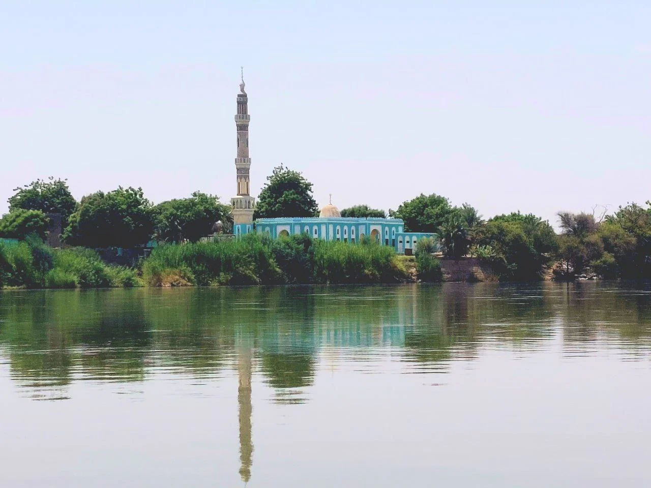
Drive the Nile north from Khartoum and eventually you cross into a state where the river becomes the entire world. On one side is the Nubian Desert, the rocky sandstone plateau that reaches east toward the Red Sea hills. On the other is the Libyan Desert, stretching westward to the Chadian border. Between them, along a thin floodplain, is Northern State -- home to the Danagla people who speak Andaandi, the Mahasi who speak Nobiin, and the Shaigiya, Beja, and other communities whose presence here predates written history. The state holds 936,255 people across 348,765 square kilometers, which is to say: lots of land, not many people, all of them clustered near water. In this water-defined strip, ancient Nubia arose, medieval Christian kingdoms flourished, pyramids were built, and a modern hydropower project drowned tens of thousands of people's homes.
The Nubian Heartland
This territory, in ancient times, was Nubia. From the Kerma culture that flourished around 2500 to 1500 BCE through the Kingdom of Kush with its capitals at Napata and Meroe, through the medieval Christian kingdoms of Nobatia and Makuria centered at Faras and Dongola, through the late Nubian state of Dotawo that lingered into the fifteenth century -- Northern State has been the spine of a civilization almost as continuous as Egypt's and often more politically independent from it. Jebel Barkal, the sandstone mesa near Karima, was sacred to the Kushite god Amun and remains a UNESCO World Heritage Site. The pyramids of El-Kurru, Nuri, and Jebel Barkal hold the tombs of Kushite kings from the 25th Dynasty -- the African pharaohs who ruled Egypt for nearly a century in the eighth and seventh centuries BCE. The archaeological density here is among the highest in Africa.
The Collapse and the Slow Rebuilding
The medieval Christian kingdoms declined between the fourteenth and sixteenth centuries. Arab migration and intermarriage accelerated. Nubian identity persisted but was layered with new languages, new religion, new political alliances. By the early nineteenth century, Egyptian Mamluks fleeing Ottoman consolidation briefly established themselves around Dongola and Merowe, only to be crushed by Muhammad Ali's 1820-1824 conquest. The Turco-Egyptian administration that followed treated Northern State as a taxation frontier. Resistance was frequent. The Mahdist War of 1881-1899, Muhammad Ahmad's religious uprising against foreign rule, included multiple battles near Dongola. When the Anglo-Egyptian campaign defeated the Mahdists in 1898, Northern Sudan became part of the Anglo-Egyptian condominium -- a joint colonial venture that lasted until Sudan's independence in 1956.
The Cost of Dams
Independence brought infrastructure, and infrastructure here has often meant displacement. The Merowe Dam, inaugurated in 2009 at the Fourth Cataract, is the largest contemporary hydropower project in Africa. Its construction displaced 55,000 to 70,000 people from the Manasir, Hamadab, and Amri communities -- farmers whose date palm groves along the fertile Nile banks had been their economic backbone for generations. Families were moved to arid resettlement sites where water access and soil quality were far poorer. Proposals for additional dams at Kajbar and Dal raised similar fears. In June 2007, security forces opened fire on demonstrators opposing the Kajbar project -- an event known as the Kajbar massacre. In 2021, under public pressure and political change, the government formally canceled the Kajbar and Dal projects, though the Merowe displacement stands as permanent. The displaced communities have rebuilt as they can, but the traditional livelihoods of riverine Nubia are harder to recover than the infrastructure that replaced them.
The Geography of Two Deserts
Northern State's landscape divides sharply between the Nile floodplain and the deserts that flank it. The Nubian Desert east of the river is a sandstone plateau crossed by seasonal wadis that rarely reach the Nile -- they flow briefly after rare storms and then vanish. West of the river is the Libyan Desert, equally barren, shading into Libya proper at the border. Jebel Uweinat, at the triple point where Egypt, Libya, and Sudan meet, rises as a mountain in one of the most remote stretches of the Sahara. The state borders Egypt to the north (including the disputed Wadi Halfa Salient), River Nile State to the east, Khartoum State to the southeast, North Kordofan to the south, and North Darfur and Libya to the west. Arabic is the administrative language; Nobiin is spoken widely in riverine Nubian communities; Dongolawi (Andaandi) is used by the Danagla people further south along the river. The Nubians, the Beja, and the Shaigiya make up the main ethnic populations.
War at the Edge
When Sudan's current civil war began on 15 April 2023, Northern State saw only limited clashes. The Rapid Support Forces fought Sudanese and Egyptian forces in the town of Merowe but were defeated and withdrew toward Khartoum, ending RSF ground activity in the state. But drone attacks have continued. Beginning in late 2024 and accelerating into 2025, RSF drones have struck the Merowe Dam's power station, causing outages as far as Port Sudan, and hit the headquarters of the 19th Infantry Division and Merowe Airport. After the fall of El Fasher in Darfur on 26 October 2025, about 32,000 displaced civilians arrived in the city of Al Dabbah, where the Sudanese Red Crescent set up reception sites. The Nubian heartland that has absorbed so many political transformations is absorbing another one. The pyramids still stand. The river still runs. The people who live along it are doing what people along this river have always done: finding ways to continue.
From the Air
Northern State is centered at approximately 17.62 degrees north, 29.42 degrees east in northern Sudan, stretching from the Fourth Cataract on the Nile to the Egyptian border. Best viewed at 15,000 to 30,000 feet to appreciate the striking contrast between the thin green Nile corridor and the surrounding tan-and-red deserts. Nearest airports: Dongola (HSDN) in the capital Dongola, Merowe (HSMN) near the Fourth Cataract and the dam. Jebel Barkal, the Nubian pyramids of El-Kurru and Nuri, and the Merowe Dam are all clearly visible landmarks. Note: ongoing Sudanese civil war since April 2023 means airspace conditions should be confirmed. Extreme desert heat with occasional dust storms.
Nearby Stories
- Old Dongola 97 km away
- Makuria 110 km away
- El Khandaq 148 km away
- Lake Ptolemy 345 km away
- North Darfur 353 km away
- Wad Banda 489 km away