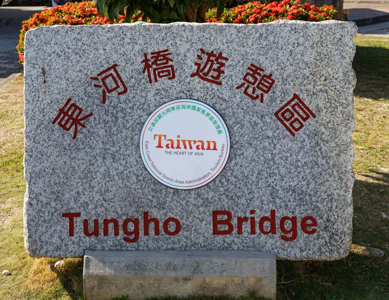

Old Donghe Bridge
In 1926, Japanese engineers set out to bridge the Mawuku River on Taiwan's remote east coast, and produced what was at the time the longest bridge built during Japanese rule of the island. Nearly a century later, the Old Donghe Bridge still stands — no longer carrying traffic, now open only to pedestrians — as a quiet monument to colonial-era infrastructure ambition at the edge of the Pacific.
Built to Last, Then Rebuilt
The bridge was designed and constructed in 1926 under the name Jikuen Bridge, built as a suspension span connecting what would become Chenggong Township to the north with Donghe Township to the south. Its claim to distinction was straightforward: at 127 meters long, it was the longest bridge built under Japanese colonial administration. The record would not stand forever, but it reflected the seriousness of the infrastructure push that Japanese engineers were making into the Taitung east coast, a region that had remained largely isolated until the twentieth century. A typhoon — the constant hazard of Taiwan's east-facing coast — eventually damaged the structure severely enough to require reconstruction. In 1953, post-war Taiwanese engineers rebuilt the bridge while deliberately preserving the original height of the towers at each end. The decision to match the old proportions was an act of continuity, keeping the rebuilt bridge in conversation with its predecessor.
Two Ends, Two Different Soils
The bridge's engineering reflects a real challenge: the two banks of the Mawuku River rest on fundamentally different geological foundations. At the northern end, on the Chenggong side, the bridge meets hard limestone bedrock, and the engineers installed an arch-shaped pier suited to the solid ground beneath. At the southern end, on the Donghe side, the situation is different — soft sedimentary rock required a framed pier design better able to distribute load across weaker substrate. The bridge is 4.65 meters wide, narrow enough to feel intimate on foot, with the Mawuku River running below and the Coastal Range filling the western view. That the designers solved two different geological problems at opposite ends of a single 127-meter span, in a remote corner of a colonial territory, is a detail worth pausing over.
The River It Crosses
The Mawuku River takes its name from the Amis word for the area — the same root as Fafokod, meaning "fishing by net" in the Amis language, which gives its name to the broader Donghe region. The river is not large, but east coast rivers in Taiwan are not measured by volume so much as by what they can do in a typhoon: they run fast, carry debris, and rise with startling speed. A bridge here was a practical necessity long before 1926, and the difficulty of crossing the Mawuku in flood conditions explains why the colonial administration prioritized building a span substantial enough to endure. The fact that it had to be rebuilt in 1953 after typhoon damage suggests they were right to invest in permanent infrastructure — and that the Pacific had not finished testing it.
A Pedestrian Landmark
The road that once crossed the Old Donghe Bridge has been rerouted to a newer span nearby, leaving the 1953 reconstruction as a pedestrian-only crossing. This change in status has actually increased the bridge's visibility as a destination: walkers can stand at the midpoint over the Mawuku River without traffic, looking east toward the Pacific or west into the hills of the Coastal Range. Bamboo art installations were mounted on the bridge in 2015 as part of a cultural project spotlighting historic bridges, drawing attention to the structure's age and significance. The East Coast National Scenic Area administers the surrounding region, and the bridge appears on tourist maps as one of Donghe's recognized attractions. Some things endure by outlasting their original purpose and finding a quieter, more lasting one.
From the Air
The Old Donghe Bridge sits at approximately 22.976°N, 121.305°E, spanning the Mawuku River where it approaches the Pacific coast. At 2,000–4,000 feet, the bridge is visible as a pale concrete line crossing the narrow river valley just before the coast. The Pacific Ocean is less than a kilometer to the east. Nearest airport is Taitung Airport (RCFN), approximately 23 kilometers to the south-southwest. The bridge lies at the boundary between Chenggong Township to the north and Donghe Township to the south — a geographic division clearly visible from the air where the river mouth meets the coastline. Provincial Highway 11 runs parallel to the coast nearby.
Nearby Stories
- Green Island, Taiwan 2.1 km away
- Hai'an Range 13 km away
- Namasia District 23 km away
- Baolai Spring Park 30 km away
- Wanchin Basilica of the Immaculate Conception 35 km away
- Twin Forts of Romblon 1123 km away
- Sibuyan Island 1172 km away
- Sinking of MV Sewol 1284 km away