
Oliver's Battery, Tresco
The work took fifteen days. Between 19 April and 4 May 1651, Sir Robert Blake's men piled earth and rubble into a rough triangle on the southern tip of Tresco, possibly reusing a Bronze Age burial cairn that already stood on the high ground at Carn Near. They were in a hurry. Two kilometres across the water lay St Mary's, where a Royalist garrison still flew Charles Stuart's colours nearly two years after his father had lost his head. Blake meant to end that. On 4 May the battery began firing. One of its three guns exploded almost immediately, killing two men. The bombardment recommenced anyway, and on 23 May St Mary's surrendered.
How a Quiet Island Became a Pirate Base
Scilly had picked the wrong side in a war that no longer existed. The islands had stood for Charles I from 1642 until 1646, switched to Parliament after his defeat, then revolted again in 1648 in his name. By 1651 Charles I had been dead for two years. His son was in exile on the continent. But the Scillonian Royalists kept fighting, and the islands had quietly become a privateering base, raiding shipping in the Western Approaches and threatening English trade. Parliament's deeper worry was strategic. The Dutch, then drifting toward open war with England, might use Scilly as a foothold. The islands sit astride the sea lanes that funnel into the English Channel. Whoever held them held a knife at England's throat. So Parliament sent Robert Blake.
Blake's Methodical Conquest
Blake was a Somerset merchant's son who had become one of the finest admirals England would ever produce. He arrived off Tresco in April 1651 and made his amphibious landing at Old Grimsby harbour on 18 April. The northern fortress of King Charles's Castle he simply bypassed; there was no time for a siege and no need. He marched south across Tresco's spine, took Carn Near, and began constructing his battery to dominate the channel between Tresco and St Mary's. The position was almost perfect. The harbour of St Mary's Pool lay within range. The prevailing winds and tides would force any Royalist ship entering or leaving to sail close past the guns. Blake was not just bombarding a town. He was sealing a harbour.
The Antiquarian's Mistake
A century later, in 1752, the Cornish antiquarian William Borlase visited the ruins and got the name wrong, but not the spirit. He assumed the works were named for Oliver Cromwell, the Parliamentary leader, and he was probably right about that. He also assumed the construction was much older than the Civil War, calling it irregular and uneven, and there he was wrong. What looked ancient to Borlase was actually quick: an earthwork thrown up in a fortnight by men who needed it to hold for a month and then never to matter again. The mistake is understandable. Crude earthworks weather quickly into the landscape, and the suspected reuse of a Bronze Age cairn beneath the gun platform genuinely does layer one age of conflict atop another.
The Battery Today
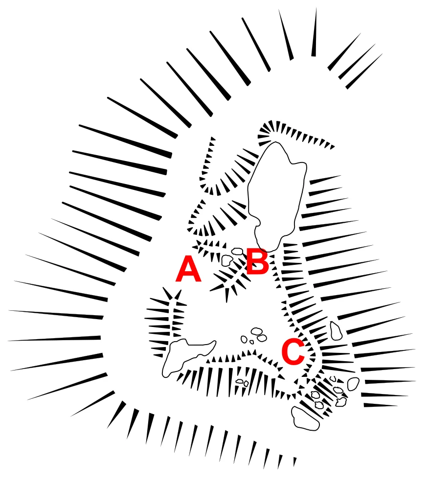
What survives is a triangle on the headland: ramparts roughly 25 by 30 by 30 metres, entered from the north-western side, with the foundation of a small building in the north-east corner that probably stored powder or held the magazine. The Duchy of Cornwall owns it. It is protected as a scheduled monument, surveyed by the Cornwall Archaeology Unit in 1990 and by English Heritage in 2009. There is no museum, no signage explaining the rapid violence that happened here. Walk to the southern edge and look across the channel. The water between Tresco and St Mary's is barely two kilometres wide, the same distance Blake's gunners ranged in 1651. The view they had is the view you have. The harbour they closed remains the harbour where the helicopters now land.
From the Air
Located at 49.94N, 6.33W on the southern tip of Tresco at Carn Near, Isles of Scilly. Best viewed at 1,000-2,000 ft AGL, looking south-east toward St Mary's Pool. Nearest airport is St Mary's (EGHE) 2 nm south-east, with Tresco Heliport just north of the battery site. Land's End (EGHC) is 28 nm east on the Cornish mainland. The site appears as a low triangular earthwork on the headland above Carn Near beach.
Nearby Stories
- SS Vigrid 6.2 km away
- SS Georgia (1890) 32 km away
- SS Irma (1905) 35 km away
- 1979 Fastnet Race 45 km away
- Great Wheal Charlotte 53 km away
- SM U-27 55 km away
- Wolfpack Prien 151 km away
- Tower of Hercules 715 km away