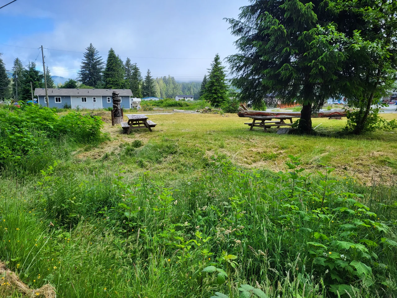

Pacheedaht First Nation
Where the San Juan River empties into the head of Port San Juan, the incoming Pacific piles foam along the rocks in drifts that can look, in certain light, like snow that refuses to melt. The people who have lived at this river mouth took their name from that: p'aachiida, the old village site, gives the Pacheedaht First Nation a name usually rendered as children of the sea foam, or the sea-foam-on-the-rocks people. It is an unusually precise piece of naming. Everything about this corner of southwestern Vancouver Island is shaped by the meeting of a hard coast and an ocean that has come a very long way to reach it.
A Language Shared Across the Strait
The Pacheedaht are one of fourteen Nuu-chah-nulth band governments, though they are not a member of the Nuu-chah-nulth Tribal Council -- an arrangement that has left them negotiating their own affairs with the province and Ottawa directly. Their language is Ditidaht, also called Nitinaht, which linguists treat as distinct from the Nuu-chah-nulth spoken farther up the island. Its nearest relative is not on this shore at all. It is Makah, spoken at Neah Bay on the Olympic Peninsula, across roughly twenty miles of open water. The Strait of Juan de Fuca reads as an international border on a chart, and as a nine-hour ferry detour to anyone driving. To canoe people it was the shortest route between relatives, and the languages still record that.
Four Reserves, One Hundred and Eighty Hectares
The Pacheedaht hold four parcels of reserve land totaling about 180 hectares: Pacheena 1, Gordon River 2, Cullite 3, and Queesidaquah 4. Put together, that is a little less than two square kilometres to account for a territory that runs up the San Juan watershed and along miles of the most storm-battered coast in British Columbia. As of March 2025, 301 people were registered as band members, and 97 of them lived on reserve. The gap between those two numbers is its own quiet history: jobs, housing, schooling, and a century of policy that made staying difficult and leaving permanent. Most Pacheedaht people live somewhere other than the place their nation is named for, and most of them know exactly where that place is.
The Beach in the Middle
Middle Beach is 2.64 hectares of waterfront, and it sits precisely between Pacheena 1 and Gordon River 2 -- the nation's two main reserves. In 1988 the federal government folded it into the Pacific Rim National Park Reserve without consulting the Pacheedaht or acknowledging their own systems of governance. The result was a national park cutting a nation's home ground in half. Ottawa conceded the point in a 2019 agreement in principle, recognizing Middle Beach as part of Pacheedaht treaty settlement lands to be transferred once treaty negotiations conclude. In late 2023, Chief Jeff Jones and federal minister Gary Anandasangaree signed an agreement returning stewardship of the beach to the nation ahead of that final transfer. Two and a half hectares is a small thing on a map. It was never the acreage that mattered.
Fairy Creek, and the Weight of Being a Symbol
In 2020 and 2021, a tributary of the San Juan River called Fairy Creek became the most photographed forest in Canada. Activists blockaded logging roads to protect roughly 2,000 hectares of unbroken old growth, and the RCMP made close to 1,200 arrests -- widely described as the largest act of civil disobedience in Canadian history. Almost all of it happened on Pacheedaht territory, and the nation's own position did not fit the story either side wanted to tell. In 2010 the Pacheedaht had bought into a partnership holding a tree farm licence over 20,240 hectares south of Port Renfrew; the nation owns sawmills and shares logging revenue with the province. Forestry is not an abstraction here, it is payroll. Pacheedaht leadership said plainly that the nation, not third-party activism, would decide what was cut and what was kept, and then joined the Ditidaht and Huu-ay-aht in formally asking British Columbia to defer old-growth logging in Fairy Creek and the Central Walbran while stewardship plans were written. The deferral was extended into 2025. Members disagreed with each other publicly and painfully throughout, which is what happens when a community of a few hundred people is asked to settle a national argument on its own land.
Where the Road Runs Out
Port Renfrew, the small logging and fishing town adjacent to Pacheedaht land, is where the pavement effectively ends. North of here the coast belongs to the West Coast Trail, whose southern terminus lies at the Gordon River crossing, and hikers arrive in town grimy and elated after six days of ladders, cable cars, and bog. Botanical Beach nearby drains at low tide into sandstone pools full of anemones and purple urchins. The rain comes off the Pacific in systems that arrive without much warning. And the foam still collects at the river mouth, doing what it has always done, for the people who named themselves after it.
From the Air
Centered near 48.58 N, 124.41 W at the head of Port San Juan on the southwest coast of Vancouver Island. From the air the landmark is unmistakable: a deep rectangular inlet biting northeast into the coastline, with the San Juan and Gordon rivers entering at its head and Port Renfrew on the north shore. Clearcut blocks on the surrounding ridges mark the tree farm licence lands; the dark unbroken canopy of the Fairy Creek watershed lies a short distance northeast up the San Juan valley. Best viewed at 2,000-4,000 ft AGL on a rising tide, when the surf line along the outer rocks is at its most dramatic. Victoria International (CYYJ) is about 40 nm east; William R. Fairchild International (KCLM) at Port Angeles sits roughly 45 nm southeast across the Strait of Juan de Fuca. Expect persistent low stratus, sea fog, and strong onshore winds; this is genuinely exposed Pacific coastline and conditions change fast.
Nearby Stories
- Cowichan Lake 1.5 km away
- Clo-oose 5.2 km away
- Chemainus 6.6 km away
- Kolponomos 7.2 km away
- Kinsol Trestle 8.3 km away
- Scia'new First Nation 11 km away
- Kildonan, British Columbia 21 km away
- SS Coast Trader 64 km away