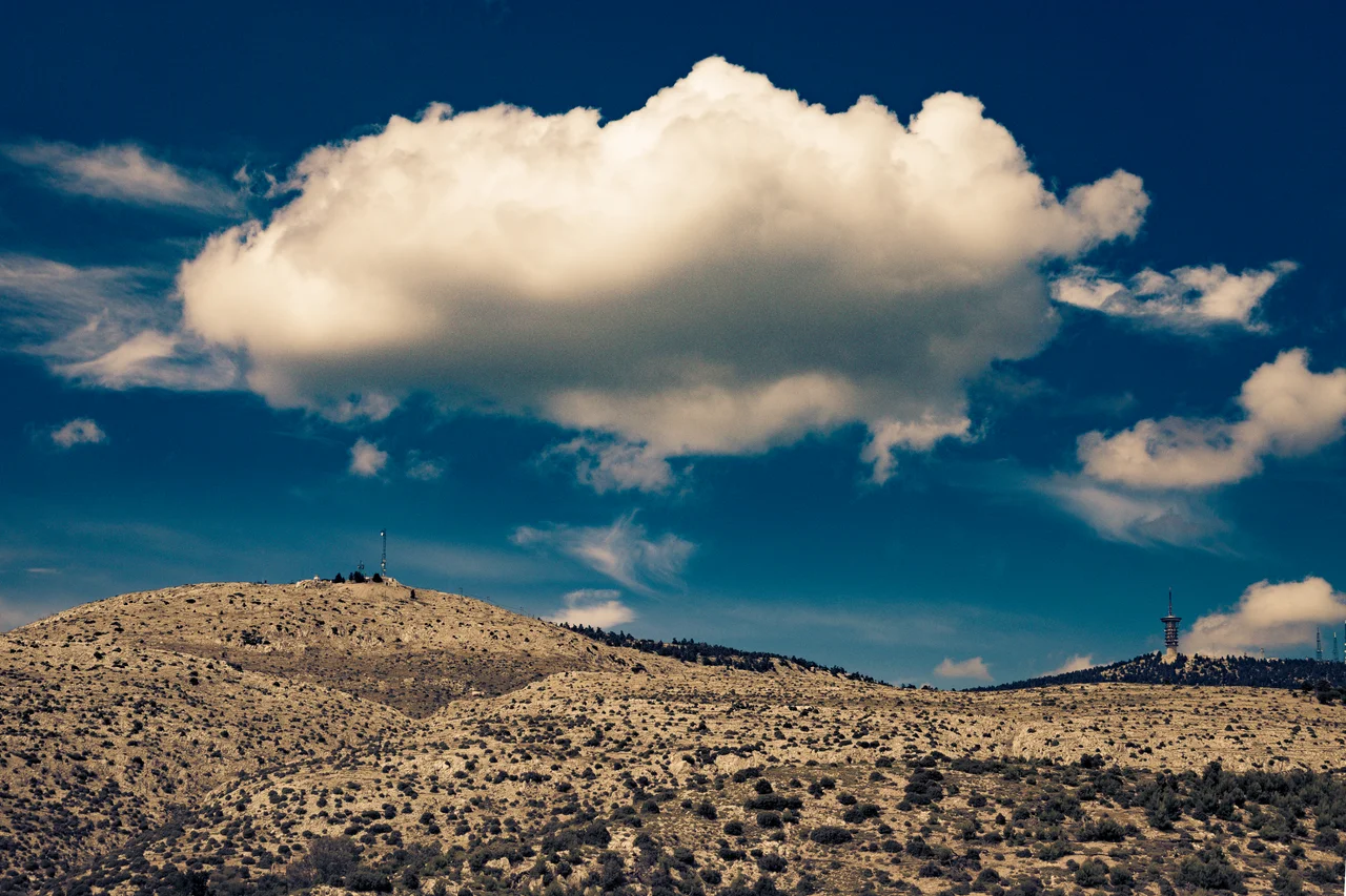

Parnitha
From the rooftops of Athens, the people of the city watched their mountain burn through the night. It was late June 2007, and the fir forest of Parnitha, the green crown that crowds the northern horizon, was being consumed in a wall of flame visible from twenty miles away. Athenians call this mountain the lungs of their city. That summer they watched those lungs catch fire.
The Crown of Attica
Rising to 1,413 meters at the summit called Karavola, Parnitha is the tallest peak on the Attic peninsula, a sprawling massif covering some 250 square kilometers north of Athens. Made a national park in 1961, it is a different world from the dry, sun-scorched plains below. Aleppo pine clothes the lower slopes; above a thousand meters the rare Greek fir takes over, shading grasses and shrubland where roughly a thousand species of plants grow, crocus and tulip among them. Red deer move through these woods, a population known here since antiquity. The mountain is markedly wetter than the rest of Attica, gathering snow in winter that closes its roads and stills its cable car, a pocket of cool, forested air at the edge of a Mediterranean megacity.
Watchtowers and a Mountain God
Parnitha has guarded Athens for far longer than the city has been modern. In antiquity its heights bristled with fortresses built to defend Attica against the Boeotians and other enemies pressing down from the north. The fort of Phyle still stands in good repair at 687 meters on the western slope; others, like Panakton and Dekeleia, anchored a chain of defenses across the range. The mountain held holiness as well as war. On its western flank, at 750 meters, the Cave of Pan was a place of worship in ancient times, sacred to the wild god of shepherds and lonely places. Later centuries left their own marks: the Byzantine Monastery of Kleiston, mentioned by Pope Innocent IV in 1209, and the now-abandoned Tatoi Palace, once home to the Greek royal family, drowsing in the forest to the southeast.
The Fire of 2007
On Thursday, 28 June 2007, after a brutal heat wave that drove temperatures toward 46 degrees Celsius, fire took hold of Parnitha and would not let go. Whipped by strong winds, it burned for days across roughly 56 square kilometers, reaching down into the northwestern edges of Greater Athens. When it was finally out on July 1, the toll was staggering: around two-thirds of the mountain's irreplaceable fir and pine forest was gone, along with some 150 of the endangered red deer and countless birds and other animals. A plume of smoke drifted east across Attica and the Aegean toward Turkey, hundreds of kilometers away. Scientists warned that the forest might need a century to recover, and that the loss of the city's green lung could deepen the smog and heat below. Investigators never settled the cause, suspecting either an overloaded power transformer that failed in the heat or one of the arson attacks that have stripped protected Greek land for development.
A Mountain Under Pressure
The 2007 fire was the deepest wound but not the last. Flames returned in 2021 and 2023, leaving only the northern reaches of the forest unburned, and the long, slow work of reforestation has crept forward against the odds, much of it planted with trees brought from outside the country. For all that strain, Parnitha endures as the place Athenians escape to. From its summit the view unspools across the whole basin: the Thriasian Plain, the Saronic Gulf studded with the islands of Salamis and Aegina, the long shape of Euboea, and on clear days the mountains of Boeotia and the Peloponnese beyond. A casino and a cable car cling near the top, an oddly worldly touch on a mountain that has been fortress, sanctuary, and refuge for three thousand years, and that the city below still cannot do without.
From the Air
Located at 38.17°N, 23.72°E, the dominant terrain feature directly north of Athens, summit elevation 1,413 m (Karavola). The massif spans roughly 250 km² and shows clear fire scars from 2007, 2021, and 2023 against the darker surviving fir forest at higher elevations. Mountain weather can bring rapid cloud and winter snow. Nearest major airport is Athens International (LGAV), about 35 km southeast. Maintain safe terrain clearance; best viewed from 6,000 to 8,000 feet with the Saronic Gulf and Salamis visible to the south.
Nearby Stories
- Acropolis Museum 0.2 km away
- Battle of Leuctra 4.9 km away
- Sousaki Volcano 11 km away
- Ancient Greece 18 km away
- Great Sand Beach 23 km away
- Euboea 24 km away
- HMHS Britannic 30 km away
- Skyros 48 km away