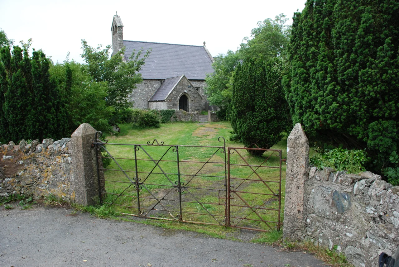

Penmynydd
Before there was a House of Tudor, before Bosworth Field and the red dragon of Cadwaladr was raised over Henry VII's army, there was this small village on a low Anglesey hill. The name is a quiet boast in Welsh - Penmynydd, 'top of the mountain' - though the rise is more modest than the word suggests. From the slope above the B5420, the land falls away to the Menai Strait and rises again into the mountains of Snowdonia. It was here, in the late medieval Welsh-speaking world of Ynys Môn, that a family rose from gentry to royalty by a route no one could have predicted.
The Cradle of a Dynasty
The Tudors of Penmynydd were Welsh nobility long before they were English kings. They served the princes of Gwynedd, held lands across Anglesey, and married into the island's other great families. Then came 1412, when Rhys ap Tudur was executed for his part in the Owain Glyndwr rebellion and the family's lands at Penmynydd were forfeited. It looked like the end. Instead, it was a hinge. Other branches of the family had already left the island - one young man named Owain ap Maredudd ap Tudur, anglicised as Owen Tudor, would find his way to the English court and, scandalously, marry the widowed Queen Catherine of Valois. Their grandson became Henry VII. The grand house of the senior Penmynydd line, Plas Penmynydd, was rebuilt in 1576 by Richard Owen Tudor - a generation too late to share in the throne his distant cousins had won.
The House on the Hill
Plas Penmynydd still stands, a Grade II*-listed building tucked into the slope above the village. The current structure is the 1576 rebuild, not the medieval hall the Tudors first occupied, but the site is unbroken. The senior line ended with another Richard Owen Tudor, Sheriff of Anglesey in 1657. After his death the house was sold and passed through several families. In the 2000s it was restored by Richard Cuthbertson and featured in the BBC Wales series Hidden Houses of Wales. The 17th-century almshouses in the village - founded under the will of Lewis Rogers - also survive, low whitewashed cottages built to shelter the parish poor. They are among the oldest still in their original use anywhere on Anglesey.
Older Than the Tudors
The geology beneath Penmynydd is older by an almost incomprehensible margin. Edward Greenly, the Edwardian geologist who mapped Anglesey in extraordinary detail, gave the village's name to the Penmynydd Zone of Metamorphism - a Precambrian blueschist terrane that stretches the length of the hill from Red Wharf Bay on the north coast to Newborough on the south. The blueschist event has been dated to roughly 550 million years ago, evidence of an ancient subduction zone where one slice of crust was forced down beneath another and cooked at high pressure but low temperature. Tudors come and go. The rock is harder to displace.
Quiet Faith, Quiet Village
Penmynydd has another quiet first to its name. The bwthyn - the small cottage - at Minffordd was the first place on Anglesey used for Nonconformist worship, in the early 18th century. Before chapel architecture became one of the defining marks of Welsh village life, Methodists and Independents met in domestic rooms, often in defiance of the law, and Minffordd's cottage was one of the earliest such spaces on the island. The community today numbers around 465 people across Penmynydd, the village of Star and the hamlet of Castellior. The Victorian rectory, Neuadd Lwyd, has been converted into a country-house hotel. A radio mast was added to the hilltop in 2002 - the latest, least romantic addition to a skyline that has held a Tudor great house, a saintly church, and almshouses for the poor.
From the Air
Penmynydd lies at 53.245N, 4.234W on the gentle interior swell of Anglesey, about 4 nm east of RAF Mona (EGOQ) and 6 nm northeast of RAF Valley (EGOV). The village sits on the B5420 between Menai Bridge and Llangefni. From cruising altitude, look for the patchwork of small fields between the Menai Strait coast and the central Anglesey lowland; the radio mast on the hill north of the village is a useful marker. Caernarfon Airport (EGCK) is 9 nm to the south across the strait.
Nearby Stories
- Wakestock 1.7 km away
- Trefriw 3.8 km away
- Irish Sea 8.7 km away
- Irish Sea Bridge 20 km away
- East–West Interconnector 30 km away
- Machynlleth 36 km away
- HMS Tyler 41 km away
- New Brighton Lifeboat Station 54 km away