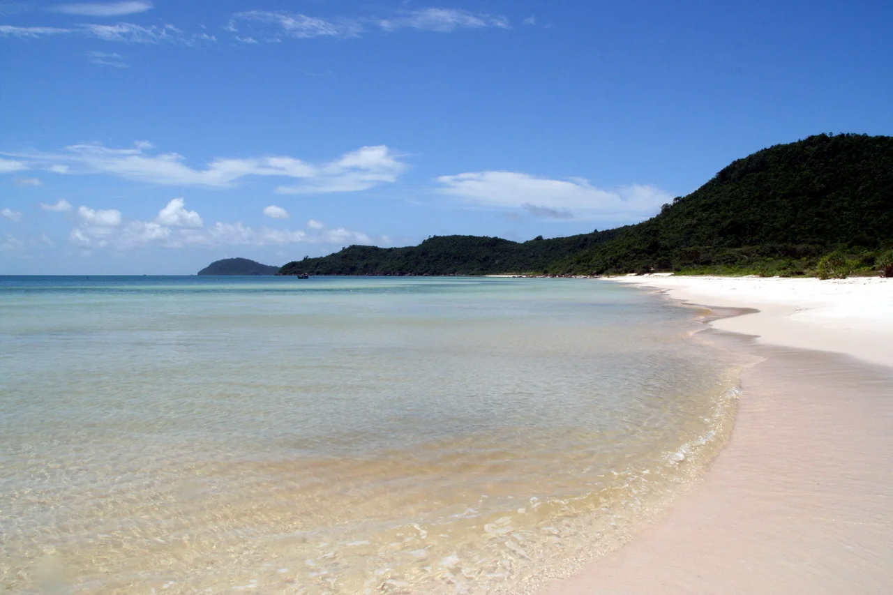

Phú Quốc National Park
A feeding dugong leaves a signature. It ploughs through a seagrass meadow and takes the plant up by the roots, and the pale furrow of bare sediment stays legible on the seabed long after the animal has moved on — a track you can follow the way you would follow footprints across snow. In the shallows off Phú Quốc, those furrows are among the last of their kind in Vietnam. Which explains something odd about the national park that covers most of this island: it was drawn to include water, and the creature it is best known for never comes ashore.
Seventy Percent, on Paper
The park exists because of a signature on Decision 91/2001/QĐ-TTg, dated 8 June 2001, by which Vietnam's prime minister upgraded the Northern Phú Quốc Islands Preservation Zone into a national park. The protected area runs to 31,422 hectares — officially reckoned as roughly seventy percent of the island — and is split three ways: 8,603 hectares under strict protection, 22,603 hectares designated for biological restoration, and 33 hectares for administration and services. That last figure is worth pausing on. A third of a square kilometre of offices and gates governs an area a thousand times its size. The boundary swallows the communes of Gành Dầu, Bãi Thơm and Cửa Cạn entirely and takes bites out of Cửa Dương, Hàm Ninh, Dương Tơ and Dương Đông township, which means almost every settlement on Phú Quốc shares a fence line with it.
Up the Spine
Phú Quốc tilts. The high ground gathers in the north and the northeast, where Núi Chúa reaches 603 metres and the ridges below it are drained by streams that run hard in the monsoon and vanish in the dry months. The Rạch Cửa Cạn carries most of that water westward to the sea. Forest holds the slopes: dipterocarp species in the uplands, and in the low, wet ground the peculiar pale-barked melaleuca, which tolerates flooding that would kill anything else. Botanists have recorded 929 plant species on the island as a whole and more than 470 within the park itself. The difference between those two numbers is the story of the rest of the island — the part that was cleared, planted, and, more recently, paved.
What Moves in It
The mammal list reads like an inventory of things that are hard to see. Silvered langurs travel the canopy in troops. Slow lorises and pygmy lorises move at night at a pace that makes them almost invisible by daylight. Crab-eating macaques and stump-tailed macaques work the forest edges, small-clawed otters hunt the streams, and fruit bats cross the island at dusk in numbers that make the sky look briefly wrong. Underwater the accounting is more precise: 125 fish species, 132 molluscs, 62 kinds of seaweed. Two marked trails let visitors in on foot, including a five-kilometre route near Gành Dầu on the northwestern corner, where the road east runs through forest dense enough that the sea disappears entirely for several kilometres.
The Reserve Around the Reserve
In 2006 UNESCO folded the park into something far larger. The Kiên Giang Biosphere Reserve spans 1,188,106 hectares, of which 858,801 are ocean — a designation that treats the coral, the seagrass and the mangrove as one continuous system with the forest, because ecologically they are. Eighty-nine species of hard coral grow within it. Hawksbill and green turtles forage the seagrass beds, and so does the dugong. The tension in all of this is not hidden: Kiên Giang's fisheries production ranks highest of any province in Vietnam, and the same shallow water that feeds the boats is the pasture the dugong cannot do without. Phú Quốc's northern hills are protected. What happens in the two metres of water off their beaches is a harder question, and it is being answered now.
From the Air
Phú Quốc National Park occupies the northern and northeastern uplands of Phú Quốc Island, centred near 10.325°N, 103.95°E. From the air the boundary is unusually easy to read: unbroken dark forest across the island's northern two-thirds, ending abruptly against cleared red soil, resort frontage and the four-lane north–south highway. Núi Chúa at 603 m is the high point and the only terrain worth planning around. Look for the Rạch Cửa Cạn draining west to the coast, pale melaleuca stands in the low wet ground, and the turquoise shelf of seagrass and coral along the eastern shore near Hàm Ninh. Phu Quoc International Airport (VVPQ / PQC) lies about 26 km south of the park headquarters, just below Dương Đông; Sihanouk International (VDSV / KOS) in Cambodia is roughly 90 km northwest. The Cambodian maritime boundary sits close off the park's northern coast — verify clearances. Best light and visibility run November through March; the July–September monsoon brings low cloud over the ridges and turbulence on the lee side.
Nearby Stories
- Koh Rong Sanloem 6.9 km away
- Hà Tiên 14 km away
- An Thoi Naval Base 14 km away
- Bokor Hill Station 17 km away
- Mayaguez Incident 25 km away
- Koh Poulo Wai 52 km away
- Lê Văn Duyệt 56 km away
- Tonle Sap–Mekong Peat Swamp Forests 64 km away