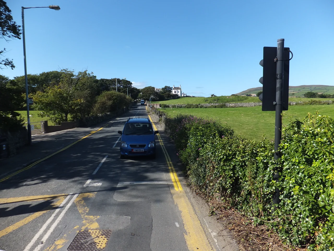

Port St Mary
Drive in from Castletown on the A5, drop down past the Promenade and the cabbage palms, and you have arrived - but Port St Mary is not really the point of Port St Mary. The village is about two thousand people clinging to a sandy bay with a Victorian seafront and a working harbour. The point is what lies beyond it: a peninsula of yawning sandstone fissures, 300-foot cliffs, Bronze Age megaliths and a tidal sound where you can sit with a coffee and watch the Calf of Man four hundred yards away across a fierce tide race.
The Two Villages
The town has always been two settlements pretending to be one. Upper Village rides the bluff above Chapel Bay with the Promenade and its wind-scoured cabbage palms - those incongruously tropical-looking cordylines that thrive in the mild Manx Gulf Stream air. Lower Village curves around the harbour mouth, the older southern half, all attractive Victorian low-rise stepping down to Athol Street and the working boats. The harbour itself has an inner basin from 1812 that dries at half-tide and an outer basin behind the 1882 Alfred Pier that floats vessels at any state of the tide. Bus 1, 2 or 11 from Douglas runs every twenty minutes between them. The narrow-gauge steam railway puffs in from Castletown four times a day in season, mid-March to October, before continuing to Port Erin two miles up the line.
Walking to the Chasms
The headland south of the village is what people actually come for. On foot it is Fistard Road onto Chasms Road, paved but barely wide enough for two bicycles to pass and improbably steep where it should not be. By car it is the A31 to Cregneash and a praying descent down a single-track lane to a parking lot. The Chasms themselves are an area where the sandstone headland has landslipped and cracked open. Some fissures gape; others hide in the heather and gorse. All are deep enough to swallow a person. Keep dogs on leads and children close. A gaunt derelict building near the parking lot was once a cliff-top cafe with views to the Calf - now it stands open to the weather, a reminder of how much harder it is to keep an outpost up here than to abandon one.
Cregneash and the Megaliths
Continue past the Chasms and the lane delivers you to Cregneash, a hill-top hamlet preserved as the National Folk Museum - thatched cottages, working forge, native Manx Loaghtan sheep with four horns. Just before you reach it, atop Mull Hill, lies the Meayll Circle. Six paired burial chambers arranged around a circle, the only such arrangement in the British Isles, dating to roughly 3500 BC. The site is open and unfenced and free, twenty-four hours a day. Closer to Port St Mary itself, in a field by Beach Road, stands a 3.2-metre Bronze Age standing stone - a menhir that has been watching the sea for somewhere between three and five thousand years. The field has no public access, but you see enough from the road.
The Sound, Spanish Head, the Calf
The road ends at The Sound, the southwestern tip of the Manx mainland. The cafe here opens daily and gives you the panoramic view: across the narrow tidal channel to the Calf of Man, a 600-acre island nature reserve where puffins, Manx shearwaters and seals breed. Boat trips run from Port St Mary harbour and give you about three hours ashore on the Calf in calm weather. Between mainland and Calf sits Kitterland, a bifurcated islet wrapped in Norse legend - the convoluted tale of Kitter, King Olaf, and some bewitched toad skins that saved the king's most personal possessions, makes modern fantasy television look restrained. Spanish Head, the breezy 300-foot headland with the same split-and-peeled terrain as the Chasms, takes its name from Manx speeiney meaning splitting, not from any Armada shipwreck. The retreating Armada knew the Irish Sea bristled with English warships and went home the long way round Ireland.
Eat, Sleep, Connect
Port St Mary itself has limited places to stay - Port Erin two miles north has more accommodation and is the practical base for a long stay. The Co-op on Bay View Road keeps daily hours from 8 AM to 10 PM. Ventosus on Athol Street by the harbour bottles British wine - which is to say, wine made on the Isle of Man from imported grape juice, an honest enterprise honestly described. The Port St Mary Golf Club on the hill south of the harbour runs nine holes for £15 a day. Phones get 4G from Sure and Manx Telecom; 5G has not yet reached the island. The local taxi operator earns notably bad reviews, so plan to walk, take the bus, or hire a car for the headland.
From the Air
Port St Mary sits at 54.075N, 4.739W on the southwest tip of the Isle of Man, with the narrow Sound channel separating the Manx mainland from the Calf of Man nature reserve. From the air the sandstone Chasms and Spanish Head form a distinctive split-and-cracked headland 300 ft above the Irish Sea. Look for the white-painted Promenade and the twin harbour basins. Cruising altitude 2,000-3,500 ft gives the best survey. Nearest airport: Isle of Man Airport (Ronaldsway, EGNS) approximately 4 nm northeast. Tide races through the Sound are violent; coastal turbulence and sea fog can develop quickly.
Nearby Stories
- RAF Jurby Head 14 km away
- German submarine U-246 16 km away
- German submarine U-1051 17 km away
- Kilclief Castle 18 km away
- Ardglass 31 km away
- St Bees Lighthouse 44 km away
- Trwyn Du Lighthouse 54 km away
- Seascale Lifeboat Station 61 km away