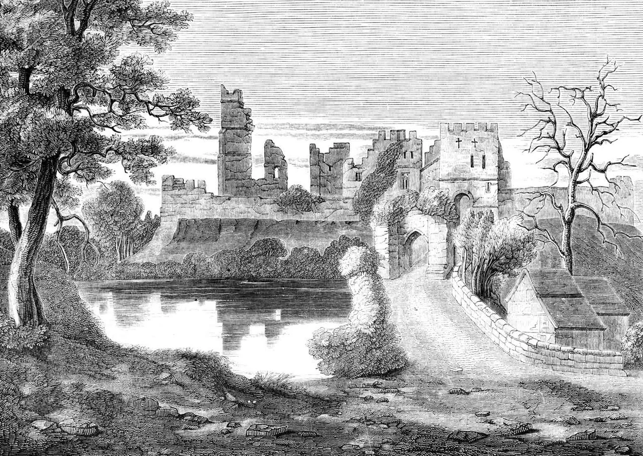
![Photo: [Knight, Charles: «Old England: A Pictorial Museum»] | Public domain](https://commons.wikimedia.org/wiki/File:Prudhoe-castle.jpg)
Prudhoe Castle
William the Lion of Scotland tried twice. In 1173 the Scottish king's army arrived under Prudhoe Castle's walls and gave up after a few days, unwilling to commit to a long siege. The next year William came back in person, found the garrison strengthened, and after three days marched away again. The defiance of one Norman knight named Odinel II d'Umfraville set a precedent that, by tradition, no Scottish army ever broke. Prudhoe holds a unique claim among Northumberland's many medieval fortifications: it was never captured.
The Umfravilles' Stand
Excavations show that a Norman motte and bailey castle stood here by the middle of the 11th century, probably wooden. After the Norman Conquest, the Umfraville family took control. Robert d'Umfraville received the formal barony of Prudhoe from Henry I, though the family had likely held the site since the closing years of the 1100s. Robert replaced the wooden palisade with a massive clay-and-stone rampart, then added a stone curtain wall and gatehouse. When his successor Odinel II refused to support William the Lion's bid for Northumberland in 1173 to 1174, the Scots came for him twice and twice withdrew. After the sieges, Odinel reinforced the place still further, adding a stone keep and a great hall. The hereditary line produced soldiers, courtiers and earls. Gilbert II inherited the title of Earl of Angus through his mother. Robert d'Umfraville IV was captured at Bannockburn in 1314, soon ransomed, and granted 700 marks by Edward II to maintain a garrison of 40 men-at-arms and 80 light horsemen at Prudhoe.
The Percys Take Over
In 1381 the last male Umfraville, Gilbert III, died without an heir. His widow married Henry Percy, 1st Earl of Northumberland, and on her death in 1398 the castle passed to the Percys, the great northern dynasty whose principal seat was Alnwick. The Percys held Prudhoe with a string of confiscations and restorations to match the political weather. The 1st Earl forfeited it after the Battle of Shrewsbury in 1403. The 3rd Earl was killed at Towton in 1461 fighting for the Lancastrians, and the castle was granted to George, Duke of Clarence, then to Lord Montague. The Percys got it back in 1470. The 6th Earl and his brother Sir Thomas joined the Pilgrimage of Grace against Henry VIII in 1536 and were executed for treason; the castle was forfeit again. By the time the 7th Earl was executed for joining the Rising of the North in 1572, the family had lost and regained Prudhoe so many times that it was already drifting toward dereliction.
Georgian Owners, English Heritage
After the 1660s the castle was never used as a residence. By 1776 it was reported as ruinous. Between 1808 and 1817 Hugh Percy, 2nd Duke of Northumberland, carried out substantial repairs to the ancient fabric and replaced the old dwellings inside the walls with a Georgian manor house adjoining the keep. The castle was handed over to the Crown in 1966 and is now run by English Heritage. Visitors approach through a 14th-century barbican, pass beneath the early 12th-century gatehouse into the outer ward, and find themselves among the foundations of two great halls and a Georgian manor turned exhibition space. In the inner ward the 12th-century keep still stands, its walls ten feet thick. The internal space is just twenty by twenty-four feet, a tight stone box from which an entire English march was administered.
Flying Over Prudhoe Castle
Coordinates 54.965 N, 1.858 W, geohash gcy8t. Cruise 1,500 to 2,500 ft AGL for a dramatic read of the ridge-and-river setting. The castle sits about 150 feet above the south bank of the Tyne, with the ground falling away steeply to the river on the north side and a deep moat enclosing the other approaches. From above, look for the rectangular curtain wall, the stubby square keep at its centre, and the moat outline. A mill pond and a ruined water mill flank the southern entrance. The town of Prudhoe sits on the steep hill just to the south; the A695 bypasses to the north along the Low Prudhoe industrial estate. The Tyne Valley railway runs along the south bank. Newcastle International Airport (EGNT) lies 7 miles north-northeast, the closest IFR field. Newcastle city, with its iconic bridges, sits 11 miles east.
From the Air
Coordinates 54.965 N, 1.858 W. Cruise 1,500-2,500 ft AGL. Look for rectangular curtain wall with square keep at centre, on a ridge 150 ft above the south bank of the Tyne. Moat to the south. Newcastle International (EGNT) 7 miles north-northeast.
Nearby Stories
- Seaburn Dene 1.2 km away
- SM UB-115 3.5 km away
- Kielder Forest 4.5 km away
- Appleby Horse Fair 9 km away
- Simonside Hills 9.7 km away
- Streatlam Castle 12 km away
- Stockton-on-Tees 12 km away
- RAF Spadeadam 14 km away