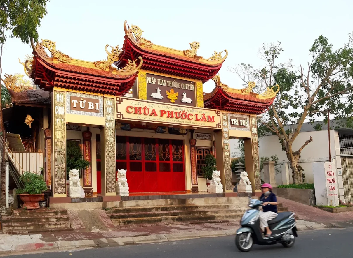

Quảng Ngãi
Most travelers notice Quảng Ngãi from the window of a northbound or southbound bus: a provincial city on the flat coastal plain, the Trà Khúc River catching afternoon light, and then it's gone. Da Nang pulls them north; Nha Trang pulls them south. For decades, even the city's own residents reportedly wanted to leave. What's changed is oil — the Dung Quat refinery complex that transformed Quảng Ngãi from a forgotten backwater into a city of nearly 280,000 with riverside cafes, upscale hotels, and the kind of energy that comes when money arrives suddenly in a place that has been waiting a long time.
Between Mountain and Sea
Quảng Ngãi sits near the midpoint between Hanoi (approximately 908 km north) and Ho Chi Minh City (approximately 820 km south), a geographic midpoint that has always made it a transit stop rather than a destination. The Trường Sơn Mountains rise to the west; the East Sea — the South China Sea — lies to the east. Between them stretch the plains and river valleys, the mountains visible on clear days as a deep blue wall on the horizon, the coast a narrow strip of beach and fishing harbor.
The climate follows the central Vietnamese pattern: hot from April to August, rainy and sometimes cold from September to March. The annual average temperature sits around 26°C, but the monsoon season brings flooding and the kind of weather that kept fishing boats in harbor for weeks at a time. This is not a coastal resort climate — it is a working coast, with weather that demands respect.
A Weight of History
Quảng Ngãi Province carries history that does not resolve easily. The Sa Huỳnh culture, an Iron Age civilization with elaborate burial practices, flourished here for centuries before the Common Era. The ancient Cham Kingdom left traces in the region's architecture and culture. The province was a stronghold of Vietnamese resistance against French colonialism and then the site of intense Vietnam War operations — the Batangan Peninsula to the northeast, Operation Utah to the northwest, and, five kilometers from the provincial border, the village of My Lai.
The Son My Memorial — sometimes called the My Lai Memorial — lies about 15 km from the city center, reachable by the Route 3 bus that runs along QL24B. It is a place of quiet and grief, carefully maintained, and the most visited site in the province for a reason. The Truong Luy, an ancient stone wall system stretching for kilometers through the province, is another kind of historical witness — older, quieter, and easy to miss if you are not looking for it.
The City That Woke Up
Quảng Ngãi's transformation is visible in its riverfront. The Trà Khúc River, which flows through the city, was once a muddy, neglected edge of town. Now both banks near the Tra Khuc bridge have been developed into the kind of place where people actually want to spend time: riverside hotels that cater to business travelers in the oil industry, cafes with views of the water, restaurants where the food is serious. The best hotels are here, on the river, and they tend to offer the full range of amenities because their primary guests are engineers and executives who expect them.
The central streets — Quang Trung and Hung Vuong — hold most of the hotels and most of the street food. Near the train station, the roundabout at Trần Quốc Toản and Trần Phú has become a reliable address for coffee and bánh mì. The night market on Phan Chu Trinh near number 8 serves good bánh mì after dark. These are small pleasures in a city that has recently learned to offer them.
Getting Oriented
The National Highway 1 runs through Quảng Ngãi, as it runs through most of Vietnam, and the TransViet Railway station connects the city to the national rail network. National Road 24A heads inland toward the Central Highlands — Gia Lai, Kon Tum, the high country — while National Road 24B runs east toward the coast, through My Khe resort and Sa Ky Port, and on to the Dung Quat Economic Zone with its deep-water port.
Getting around the city itself is manageable on foot in the center, but the outlying attractions require transport. The closest beach, My Khe, is 15 km away. Regular taxis operate throughout the city, and motorbike taxis — xe om — are abundant near tourist areas. The Grab app works here as it does throughout urban Vietnam. The Route 3 bus runs out along QL24B toward Son My museum, though it operates only every 90 minutes or so. Fares are minimal — 5,000 to 13,000 dong.
Beyond the City
Lý Sơn Island, about 30 km offshore and visible on clear days from the coast, is the most worthwhile day trip from Quảng Ngãi. The island is known for its garlic — Vietnamese garlic, small and pungent, grown in volcanic soil — and for the diving off its coast, one of the cleaner marine environments in the region. The Batangan Peninsula's beaches to the northeast have developed into weekend getaway destinations as tourism infrastructure has improved.
For those continuing along the coast, Hội An is 116 km north — about two and a half hours — and Đà Nẵng 130 km. South, Quy Nhơn is the next significant city. The central highlands are accessible via National Road 24A for those heading inland toward Kon Tum and beyond. Quảng Ngãi has always been a place people pass through. The question it is now beginning to ask is why they shouldn't stay.
From the Air
Located at 15.12°N, 108.79°E on Vietnam's central coast, Quảng Ngãi sits on the flat coastal plain where the Trà Khúc River meets the lowlands before reaching the sea. From the air, the city is clearly visible as the largest urban area in the province, with the river running through it and the Trường Sơn Mountains visible to the west. Quảng Ngãi Airport (VVQN) serves the city with connections to Hanoi and Ho Chi Minh City. Chu Lai Airport (VVCA) lies approximately 35 km to the northeast and handles additional traffic. Da Nang International Airport (VVDN) is roughly 130 km north. Recommended viewing altitude of 3,000–5,000 feet offers a clear picture of the city's position between mountain and coast.
Nearby Stories
- War of the Flags 16 km away
- Battle of FSB Mary Ann 22 km away
- Tam Kỳ 37 km away
- Operation Hawthorne 43 km away
- Operation Masher / White Wing 51 km away
- Vũng Rô Bay 231 km away
- Vũng Rô Bay Incident 260 km away
- Battle of the Paracel Islands 271 km away