Rabaul
The 1A bus takes about forty minutes to get from Kokopo to Rabaul, K3.50 in dry weather and K5 when the rain chases it onto the higher road, and somewhere along the way the landscape starts to tell you what happened here. The traffic thins. Buildings appear in partial profile - some rebuilt, some half-buried, some given over entirely to the lava-gray dust that covers everything. Then the harbor opens up, and the dark cinder cone of Tavurvur comes into view on the right, still smoking, still alive. Rabaul is a town that was twice destroyed and once warned itself in time, a place where you dive onto Japanese wrecks in the morning, climb volcanic ridges in the afternoon, and eat dinner at the Phoenix Room in colonial-era decor while 1994's ash is still settling somewhere in the hills.
Getting There
Air Niugini runs daily flights from Port Moresby, with additional connections from Lae, Kavieng, Hoskins in West New Britain, and Buka in Bougainville. The original Rabaul Airport was destroyed in 1994 and was never rebuilt in place, since its approach ran directly over the Tavurvur crater. The replacement, at Tokua about 50 km southeast, still uses the three-letter code RAB. Expect the airport itself to be underwhelming on departure: one small shop without water, limited seating, and toilets only in the locked departure lounge. Check in 1.5 to 2 hours before your flight anyway to avoid getting bumped, and bring a bottle of water. On arrival, your hotel can collect you for about K40 or more, a taxi runs similar, or the public minibus will get you to Kokopo for K2. For the scenic option, a handful of coastal vessels still connect Lae with Rabaul, some of them carrying passengers.
The Tolai Coast
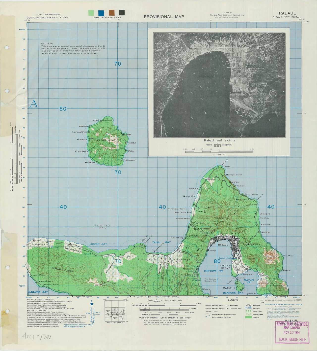
Rabaul sits on the Gazelle Peninsula at the northeastern tip of New Britain, in the traditional country of the Tolai people, whose language gave the town its name. Rabaul means mangrove in one of the local Tolai dialects, a reference to the swamp the German colonial builders reclaimed to lay out their harbor capital. The Tolai are still the majority of the indigenous population here, and their cultural life - especially mask dances and the elaborate tubuan tradition - is one of the reasons Rabaul and Kokopo have kept drawing visitors even after the volcanoes took most of the town. Kokopo, about 20 km down the coast, is now the provincial capital and the bigger settlement. The two towns work as a pair: Kokopo for hotels and administration, Rabaul for the harbor, the volcanoes, and the wrecks.
Diving the Harbor
Simpson Harbour is one of the great accidents of Pacific diving. A large enclosed caldera surrounded by volcanic ridges, it served as the Japanese Imperial Navy's main South Pacific base from 1942 to 1945, which means the harbor floor is scattered with ships that Allied bombers never let leave. The coral has been at work on them for eighty years. Kabaira Dive Rabaul operates about an hour from the main towns and runs beach-front accommodation as a base. Rabaul Kokopo Dive is attached to the Rapopo Plantation Resort. Both handle the WWII wrecks and the reefs with equal patience, and you will see fish that do not know they are swimming through a graveyard. For those not diving, snorkeling sites along the coast deliver reliable coral and clear water, though the harbor water itself tends to be less clear than the open coast.
Climbing the Rim
Four extinct volcanic hills surround Simpson Harbour alongside the still-active Tavurvur and Vulcan. The highest, Mt. Mother - also known as Kabiu - tops out at 700 meters and is usually climbed in the early morning from Matalau Village, before the heat and the afternoon clouds close in. Mt. Tavanabatir is shorter but hosts the Rabaul Volcanic Observatory, the facility that issues the warnings that saved the town in 1994, and the panoramic view from the summit is the one that appears in most Rabaul photographs. The two active cones are off-limits, for obvious reasons. Tours from the hotels will take you to the war sites on land - gun emplacements, Yamamoto's bunker, the Japanese tunnels dug by labor that included Tolai conscripts and Allied prisoners - or out to sea toward the Duke of York Islands. Expect a minimum of about K700 per car, cheaper with a group. Hire cars run around K240 per day plus mileage and petrol. A day trip to Rabaul from Kokopo can easily hit K400. The Kokopo-Rabaul Road is still patched with mudslide damage, and some side roads want 4WD.
Where to Eat and Sleep
Kai bars and chicken shops are everywhere in both towns - cheap, hot, and reliable for a quick meal. Markets and supermarkets stock excellent tropical fruit. The resort restaurants overlooking the harbor serve the most dependable sit-down meals, and seafood is the safest order nearly everywhere. The Rabaul Hotel's Phoenix Room is worth the stop for the atmosphere alone - a striking dining room done in a collision of Chinese, Tolai, and colonial-era decor, even if the Chinese food itself has a reputation for being lackluster. Stay in Kokopo for more options and easier access to the bus routes; stay in Rabaul for proximity to the volcanoes and the harbor. Either way, keep an eye on the observatory bulletins. Tavurvur is quieter than it was in the 1990s, but it is not asleep, and Rabaul is a town that has learned the hard way to listen.
From the Air
Approach Rabaul at 4.20 degrees south, 152.17 degrees east, on the northeastern tip of New Britain's Gazelle Peninsula. The nearly-enclosed Simpson Harbour caldera is unmistakable from the air - 14 km by 9 km of flooded volcanic bowl ringed by green ridges. Tavurvur's dark cone sits on the eastern rim and often shows a thin ash plume. The airport is at Tokua (ICAO: AYTK, code RAB), 50 km southeast of the old town. Ash from Tavurvur occasionally closes the airport with little notice, so check NOTAMs. Weather is tropical rainforest - hot, humid, overcast, with an annual average of 26.9 degrees C and 2,201 mm of rain. Approach from the east avoids direct flight over the Tavurvur crater, which is why the old airport was abandoned.
Nearby Stories
- Mining in Papua New Guinea 9.9 km away
- Battle of Bita Paka 28 km away
- New Ireland 35 km away
- Ulawun 76 km away
- USS John A. Bole 77 km away
- New Ireland Province 126 km away
- Operation RY 173 km away
- Raikoke 5799 km away