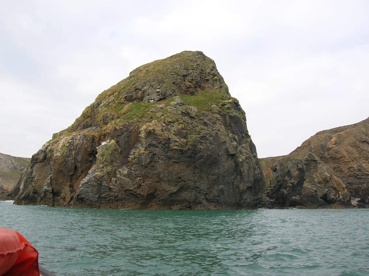

Ramsey Island
The Bitches are not a metaphor. They are a line of jagged volcanic rocks that drag straight out into Ramsey Sound from Ramsey Island's eastern flank, and at flood tide the current pours over them at almost four metres per second. Kayakers come from across Britain to surf the standing wave they create; the RNLI keeps a lifeboat on the mainland opposite, in part because of what these rocks have done over the centuries. In 1910 the lifeboat Gem broke up on The Bitches during a rescue, and three of her crewmen drowned. The reef lies about halfway between the Pembrokeshire mainland and an island the Welsh call Ynys Dewi, David's Island, after the patron saint of Wales.
Hrafn's Island, David's Island
Ramsey is one of those places that carries both halves of its history in its names. The English word comes from the Old Norse Hrafn's island, a Viking trace from the centuries when longships worked this coast. The Welsh name remembers Saint David himself, the sixth-century missionary whose cathedral still anchors the small city two and a half miles to the east. David's confessor, Saint Justinian, lived as a hermit on Ramsey; the chapel ruins associated with him stood until the 1600s. From 1082 onward the island belonged to the cantref of Dewisland, controlled by the bishops of St David's, and by the twelfth century it was already a destination for pilgrims. Just under three and a quarter kilometres long, with its highest point at Carnllundain (136 metres above the sea), it is the fourth largest island in Wales, after Anglesey, Holy Island, and nearby Skomer.
Two Wardens and Four Hundred Pups
Two people live on Ramsey now. They are the RSPB warden and assistant warden, occupying the same farmhouse that medieval tenants worked. The Royal Society for the Protection of Birds bought the island as a nature reserve, and what they protect here is unusual even by Welsh standards. Ramsey holds the most important grey seal breeding colony in southern Britain. Each autumn over 400 white-coated pups are born in the coves and on the boulder beaches, hauled up to nurse for a few weeks before they shed their fur and slide into the Atlantic on their own. Choughs nest on the cliffs, distinctive crows with red bills and red legs that feed on dung beetles in the rough grassland and have made Ramsey one of the best places in Wales to see them. Ravens, peregrines, buzzards, wheatears, guillemots, razorbills, and the inevitable Manx shearwaters share the cliffs around them.
A Geology Sampler
For an island this small, Ramsey's geology is absurdly complicated. The north end is mudstone, the centre cuts across a Cambrian-age band of volcanic tuffs and pencil slates known as the Aber Mawr Formation, and the south is dominated by an intrusion of rhyolite that also forms the islets scattered offshore. The rocks tilt steeply and break along multiple faults, including the Ramsey Fault running from Aber Mawr to Porth Lleuog. Off the south coast the Bishops and Clerks group rises from the sea, a parade of stacks and stumps including South Bishop and North Bishop. Ynys Bery, Falcon Island, stands 71 metres high to the south. The names come from the dialects of two languages and a thousand years of fishermen learning to avoid specific rocks at specific tides.
The Sound That Would Not Be Tamed
Ramsey Sound has a depth of around 66 metres and a tidal regime so dramatic that engineers tried to harness it. In December 2015 the first of three planned 400-kilowatt tidal turbines was installed on the seabed by a Welsh company called Tidal Energy Ltd. It developed faults almost immediately, and by October 2016 the company was in administration. The sea here moves at speeds that defeat most renewable engineering, but the same forces created Horse Rock, a tidal island that surfaces only at low water and was already named on an Elizabethan map of 1583. Sailors have been picking their way through this water for at least that long. Today the ferry service from Thousand Islands Expeditions operates from Easter to the end of October, leaving from St Davids Lifeboat Station at St Justinian and weaving past those same reefs that have made and broken so many crews.
From the Air
Ramsey Island sits at 51.87 N, 5.34 W, about a kilometre off St David's Head on the northern edge of St Brides Bay. The island reads as an elongated north-south landmass with Carnllundain (136 m) as its high point near the south end, and the Bishops and Clerks stacks scattered to its south and southwest. Good viewing altitude is 2,500-4,000 feet to keep the seal coves and chough cliffs in view. The nearest airport is Haverfordwest (EGFE) about 17 nm to the east; the disused RAF Brawdy lies inland between the two. Watch for the visible white water over The Bitches reef in Ramsey Sound on a flooding tide.
Nearby Stories
- Pembroke Castle 0.3 km away
- Cwm Gwaun 4.7 km away
- German Submarine U-1302 13 km away
- Action of 17 November 1917 18 km away
- HMS Whirlwind (R87) 19 km away
- Johnstown Castle 37 km away
- Hook Lighthouse 68 km away
- 1979 Fastnet Race 144 km away