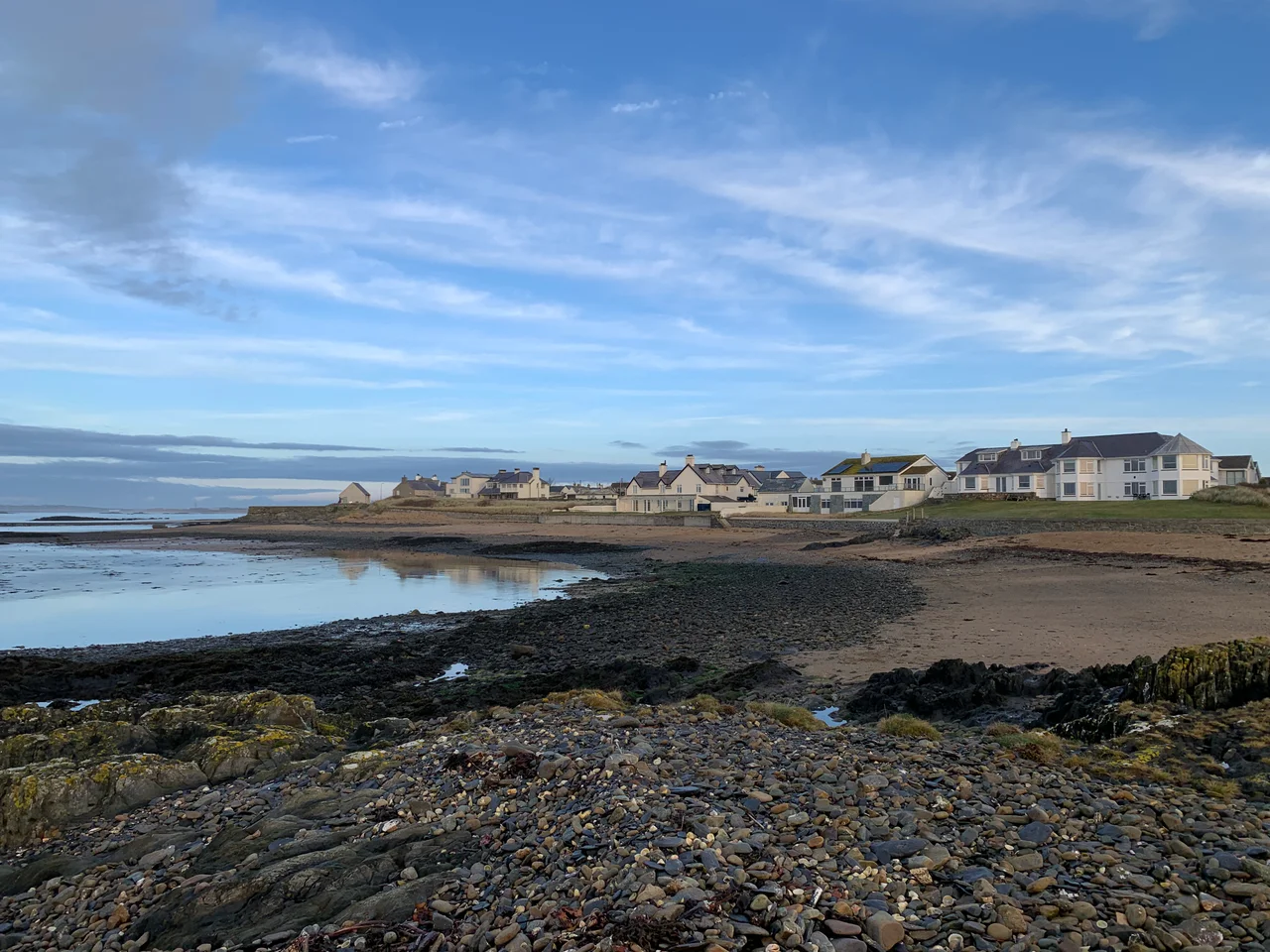

Rhosneigr
The wind comes ashore here with enough consistency that Rhosneigr has become one of Britain's go-to spots for kite-surfing - the Atlantic gusts roll across Caernarfon Bay onto Traeth Llydan with little to interrupt them, and on a good day the beach is a slow-motion ballet of arched kites and lifted bodies. The clock tower in the village centre is the obvious meeting point, with a sightline that runs from the runway lights of RAF Valley to the rounded summit of Holyhead Mountain. It looks like a holiday village, and it is. But the name is older and quieter than the kites suggest.
Yneigr's Moorland
The name Rhosneigr is Welsh through and through. Rhos is a common prefix in Welsh place names meaning 'moor' or 'moorland'. The second element, neigr, is harder. The likeliest source is a personal name, Yneigr, who appears in early Welsh genealogies as a grandson of Cunedda Wledig - the fifth-century leader credited with founding the kingdom of Gwynedd after migrating from what is now southern Scotland to drive Irish settlers out of north Wales. We know almost nothing else about Yneigr. We do not know what he did at this stretch of coast, why it was named for him, or whether he ever set foot on the moorland that carried his name into the centuries. He is a ghost in the place-name list - and almost the entire reason this village exists by the name it does.
Beaches and a Lake
Three named beaches define Rhosneigr's coast. Traeth Crigyll runs from Pwll Cwch out to Ynys Wellt and on into Traeth Cymyran - sandy strands interrupted by rocky outcrops, with Snowdonia rising sharply across the bay on clear days. Pwll Cwch is a small rocky cove where local boats overnight. Traeth Llydan, the broad south beach, runs from Porth y Tywod toward the southern edge of the village - pebbles giving way to pristine sand, regularly awarded the Green Coast Award, backed by sand dunes that windsurfers and kite-surfers use as their staging ground. Just inland from all this is Llyn Maelog, a 65-acre freshwater lake up to seven feet deep, designated a Site of Special Scientific Interest. The lake is rimmed by a public footpath and a reedbed full of birdlife - grey herons, snipe, reed warblers, coots, mallard, shelducks. Black-headed gulls nest on a small island in the middle. In 2011 Llyn Maelog became the first lake in Wales to be classified as a village green.
A Working Village
For all the watersports glamour, Rhosneigr is a real working village of about a thousand people. It has four caravan sites and three campsites, pubs and cafes, a fire station, a chapel, a village hall, a school, a fish-and-chip shop, and the convenience store and post office that everyone walks to. Rhosneigr railway station puts London six and a half hours away and Holyhead twenty minutes. The Anglesey Coastal Path passes through. The primary school, Ysgol Gynradd Rhosneigr, provides Welsh-medium education - eighty-five pupils as of 2024, around 31 percent from Welsh-speaking homes - which is the quiet, daily evidence of a language that has held this island for fifteen centuries and is still being passed on at the kitchen table. The village is in the catchment area of Ysgol Uwchradd Caergybi in Holyhead for secondary.
Sport, Lost and Gained
Sport has shifted shape here over the generations. The Maelog Lake Golf Club appeared before the First World War and disappeared with the onset of the Second. Anglesey Golf Club survives. Where there was once a slow Edwardian game of niblicks and brassies along the dunes, there is now a fast-water culture of windsurf rigs, wakeboards and kite-surf bars. The same wind that scattered the golfers eventually scattered foils and inflatables instead. From the clock tower, on the right afternoon, you can see the kites lifted twenty feet above the water out on Traeth Crigyll, and behind them the runways of Valley, and behind that the brown hump of Holyhead Mountain. Three centuries of Anglesey life in a single sightline.
From the Air
Rhosneigr sits on the west Anglesey coast at 53.228N, 4.519W, immediately south of RAF Valley (EGOV - 2 nm north) and on the line of the active runway 13/31. Valley airspace restrictions apply; expect significant Hawk T.2 and Texan T.1 movements over this stretch of coast. From the air, look for the village clock tower at the centre, the broad sweeps of Traeth Llydan to the south and Traeth Crigyll to the west, and the inland circle of Llyn Maelog. Caernarfon Airport (EGCK) is 13 nm to the southeast. Holyhead Mountain is the prominent 220 m landmark 7 nm north-northwest.
Nearby Stories
- Wakestock 1.7 km away
- Trefriw 3.8 km away
- Irish Sea 8.7 km away
- Irish Sea Bridge 20 km away
- East–West Interconnector 30 km away
- Machynlleth 36 km away
- HMS Tyler 41 km away
- New Brighton Lifeboat Station 54 km away