The Invisible Giant Beneath the Delta
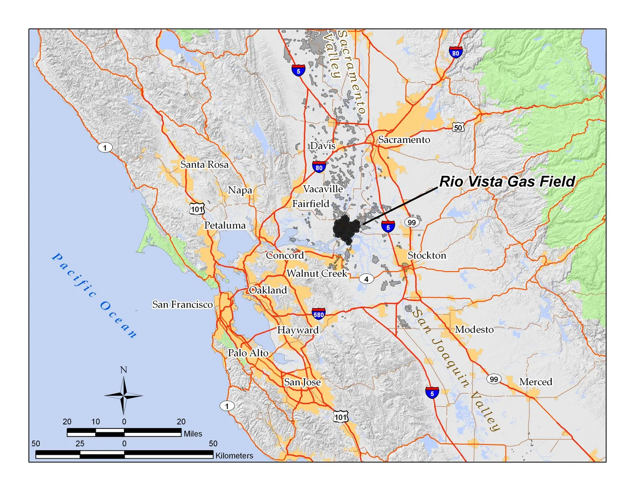
The town of Rio Vista sits entirely inside a gas field. So do several islands, a retirement community, recreational marinas, and thousands of acres of farmland protected by aging levees. Drive along California State Route 160, built atop levee embankments, and you pass drilling pads tucked between asparagus fields and fishing docks without any sense that 29,000 acres of industrial extraction are happening beneath your feet. The Rio Vista Gas Field has been producing natural gas since 1936 -- California's largest, one of the fifteen largest in the United States -- yet the landscape above it looks like what it has always been: the quiet, waterlogged lowlands of the Sacramento-San Joaquin River Delta.
A War Machine's Appetite
The field's discovery in 1936 was well-timed, though nobody could have known it. When the United States entered World War II, oil tankers in the San Francisco Bay Area were requisitioned for the war effort. A major gas pipeline running from the Kettleman Hills field in the San Joaquin Valley had to be converted to carry oil instead, cutting off the gas supply to Northern California's cities almost overnight. Rio Vista filled the gap. Each new well drilled into the anticlinal dome beneath the delta came in bigger than expected, and by late 1944 the field had seventy active wells. Peak production hit the following year -- over 160 billion cubic feet of gas extracted in 1945 alone, fueling the war economy of the Bay Area while tankers and pipelines served the Pacific theater. The timing was, as one geologist put it, perfect.
Twelve Pools Deep
Beneath the soft peat and clay of the delta floor, the Sacramento Basin drops away into a structural trough filled with up to 40,000 feet of sediment deposited over tens of millions of years. The Rio Vista field sits at the basin's southern end, an anticlinal structure -- essentially a buried dome -- with its axis running northwest to southeast. The Midland Fault slices through the middle of the field from north to south, displacing gas-bearing rock formations by as much as 500 feet. By 1980, geologists had identified twelve separate producing horizons, the shallowest at 2,450 feet (the Sidney zone) and the deepest at 9,600 feet (the Peterson zone, discovered in 1966). Later drilling reached as deep as 11,000 feet. Each pool trapped gas that had migrated slowly from distant source rock over millions of years, filling pore spaces in sandstone and shale like water soaking into a sponge.
Sinking Ground, Rising Questions
The land above the gas field has been slowly dropping for decades. Part of the subsidence comes from peat decomposition -- the organic soils of the delta islands, exposed to air after levees were built in the late nineteenth century, oxidize and shrink. Part comes from groundwater withdrawal. And part comes from the extraction itself: trillions of cubic feet of gas removed from underground means trillions of cubic feet of pore space collapsing under the weight of overlying rock. Some areas of the delta islands now sit ten feet below sea level, protected only by levees. The irony is not lost on planners. A 2010 study by the California Geological Survey found that the depleted field could potentially store several gigatons of carbon dioxide, pumped back into the emptied reservoir. The injected gas would offset atmospheric emissions, increase pressure to recover remaining natural gas, and -- crucially -- help stabilize the sinking ground above.
Retirement Homes and Mineral Rights
Ownership of the field has passed through a chain of operators that reads like a corporate genealogy. Amerada Petroleum took over as principal operator in 1965, merged with Hess Oil in 1969, and ran the field until selling to Sheridan Energy in January 1999. Sheridan flipped it to Calpine Natural Gas that same October. When Calpine filed for bankruptcy in 2005, Rosetta Resources formed specifically to acquire its oil and gas assets, taking over 171 of the field's 189 active wells. Through all these transitions, the field kept producing -- and occasionally generating friction. Developers of the 3,000-home Trilogy retirement community north of Rio Vista owned the surface rights, but Amerada Hess had retained mineral rights, and their successor Calpine wanted to drill in the same area. The compromise left a single active well, Marks No. 7, standing at the corner of Church Road and Marks Road, a quiet neighbor to retirees who may not realize they are living on top of one of the most productive gas reservoirs in American history.
From the Air
The Rio Vista Gas Field is centered at approximately 38.14N, 121.675W in the Sacramento-San Joaquin River Delta. From the air, the field area is identifiable by the patchwork of delta islands, levees, and waterways -- look for Bradford Island, Twitchell Island, and Brannan Island. The town of Rio Vista is visible along the Sacramento River. Drilling pads appear as small cleared rectangles among agricultural fields. The Montezuma Hills to the southwest, rising to about 180 feet, are dotted with wind turbines. Recommended altitude: 3,000-5,000 feet AGL for best view of the delta landscape. Nearby airports: Rio Vista Municipal (O88), Travis Air Force Base (KSUU) 8nm northwest, Sacramento Executive (KSAC) 30nm northeast.
Nearby Stories
- Pier 24 Photography 4 km away
- The Shallow Sea Between Four Counties 5.5 km away
- The Pathway Home 8.4 km away
- The Spinach Riot 8.6 km away
- The Roadside Stand That Fed a Queen 14 km away
- Rancho Seco Recreational Park 17 km away
- Niles Canyon Railway 23 km away
- From Aluminum to Ammunition to Aviation Fuel 34 km away