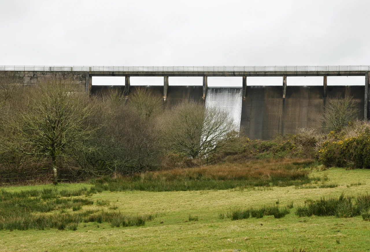

River Tamar
The Tamar rises on a windswept plateau called Woolley Moor, less than four miles from the Atlantic. It could, you would think, simply tip itself off the cliffs and finish the job in a single afternoon. Instead it turns south. For the next sixty-one miles it draws a line — between fields, under medieval bridges, around the granite tor of Kit Hill — until it slides through Plymouth Sound and into the English Channel. That long looping detour is the reason Cornwall feels like its own country. The Tamar makes Cornwall almost an island. The traditional Cornish line is that the devil himself would never dare cross it, for fear of ending up in a pasty.
Tamara and the Giants
There are two stories about the name. The respectable one, recorded in Ptolemy's Geography in the second century AD, holds that Tamar simply means "great water" — the same prehistoric root the Thames carries, possibly meaning "dark flowing." The Cornish one is better. A nymph named Tamara lived in the underworld and longed to walk in the upper world against her parents' wishes. She wandered Dartmoor, met two giants — Tavy and Tawradge — and led them a long flirtatious dance, darting away whenever they came close. Her father caught her near Morwenstow and, enraged, turned her into a spring. The spring became the river. Tavy, on waking, was likewise turned into a river and chased her down — finally finding Tamara and merging with her at the wide estuary above Plymouth, where the Tavy still meets the Tamar today. Tawradge ran the other way, became the Torridge and the Taw, and never found her at all. The Torridge does indeed rise barely five hundred metres from the Tamar before veering off in a vast arc north toward Bideford. The geography fits the story almost too well.
A Border That Moves
For most of its course the Tamar marks the official line between Devon and Cornwall. But the line is not as ancient or as fixed as it looks. In the eleventh century several parishes north of Launceston were transferred to Devon when the boundary briefly followed the River Ottery instead. The Counties (Detached Parts) Act of 1844 tidied up the messier exceptions. The full boundary was only restored to the Tamar in 1966, when North Petherwin and Werrington moved back into Cornwall. Three small exceptions to the river rule still exist, all in the upper course. Where the river is tidal, the border runs along the centre of the low-water channel — a definition so precise it can shift slightly with the seasons. Below the Tamar Bridge at Saltash, the counties officially extend only to their respective banks. The river itself, in those last few miles, belongs to no one and to both.
Bridges, Old and Older
Twenty-two road crossings span the Tamar. The oldest still in use is the medieval Horsebridge of 1437 — slender stone arches, six and a half centuries old, still carrying cars across at a single-lane crawl. Greystone Bridge near Lawhitton followed in 1439. Gunnislake New Bridge, built in 1520 by Sir Piers Edgcumbe of Cotehele, was the lowest crossing of the Tamar for four hundred and forty-two years — the main route into south east Cornwall. Then in 1962 the Tamar Bridge opened beside Brunel's 1859 Royal Albert railway bridge at Saltash, and the centre of gravity shifted downstream. Saltash itself, sitting at the Cornish end of the bridge, calls itself the Gateway to Cornwall. It is hard to argue with.
The Copper Years
The valley of the lower Tamar became, in the nineteenth century, one of the great mining landscapes of the world. Copper, tin, lead, silver and arsenic poured out of mines on both sides of the river. Morwellham Quay handled the export traffic — copper to South Wales for smelting, arsenic worldwide for cotton-field insecticide in the American South. The Tavistock Canal ran an inclined plane up from Morwellham, and barges of up to four hundred tons reached far inland. At the height of the boom, the Johnson Matthey smelting works at Weir Quay extracted silver and lead from ore brought in by sea from as far as Newfoundland. UNESCO recognised the Cornwall and West Devon Mining Landscape as a World Heritage Site in 2006, listing the Tamar Valley as one of its core areas. The mines are long closed. The engine houses still stand, hollow chimneys above the woods.
King Arthur's Last Battle
The Alliterative Morte Arthure, written somewhere around 1400, places the final battle of King Arthur and Mordred near the banks of the Tamar. The Cornish have always been keen to claim Arthur — Tintagel is just up the coast, and Slaughterbridge near Camelford is one of the candidates for the Battle of Camlann. Whether or not it was actually here, the Tamar valley has the right look for a final reckoning: steep, wooded slopes folding down to the slow tidal river, mist rising off the water at dawn. The valley was a working landscape of barges and miners through the early twentieth century, and the Royal Navy still keeps one of its three main bases at Devonport on the Hamoaze, where the Tamar finally widens and slips out to sea. The river has thus been continuously useful, from Bronze Age tin to nuclear submarines, for somewhere between three and four thousand years.
From the Air
The Tamar rises near 50.91 degrees north, 4.45 degrees west on Woolley Moor, just inland of Morwenstow on the north Cornish coast, and flows roughly 100 kilometres south to Plymouth Sound at 50.36 degrees north. Recommended viewing altitude is 2,500 to 4,000 feet, which lets you follow the entire watershed in clear weather. From the air the river is unmistakable: a dark sinuous line marking the Cornwall-Devon border. Key navigation landmarks include Upper and Lower Tamar Lakes (twin reservoirs near the source), the medieval Horsebridge at 1437, the Calstock Viaduct of 1907, and the twin spans of the Royal Albert and Tamar Bridges at Saltash. Newquay (EGHQ) lies west, Exeter (EGTE) lies northeast, Plymouth airport is closed but Devonport's helicopter movements are active. Expect channel weather along the lower river — fog and drizzle can develop quickly along the tidal section.
Nearby Stories
- Grimspound 2.5 km away
- Exmoor National Park 8.3 km away
- Padstow 9.7 km away
- The Hurlers (stone circles) 13 km away
- Lundy 19 km away
- Castle Drogo 22 km away
- HMHS Glenart Castle 27 km away
- Action of 17 November 1917 52 km away