![Photo: [2] | CC BY 2.0](https://commons.wikimedia.org/wiki/File:San_diego_panorama.jpg)
San Diego County, California
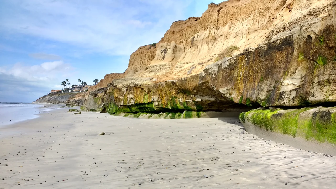
The land drops from alpine peaks to sea level in less than seventy miles. San Diego County holds within its borders more ecological zones than most states: the Pacific coast with its lagoons and kelp beds, the coastal mesas of chaparral and sage scrub, the oak woodlands and chaparral of the inland valleys, the pine and fir forests of the Cuyamaca and Palomar ranges, and the Sonoran Desert that begins where the mountains end. People have moved through this terrain for more than twelve thousand years. The Kumeyaay, Luiseño, Cupeño, and Cahuilla peoples organized their lives around its resources long before the Spanish established a mission at the mouth of the San Diego River in 1769. What came after has layered institution upon institution atop a geography that remains, beneath everything, the primary fact.
Eighteen Reservations
No county in the United States contains more federally recognized Native American reservations than San Diego — eighteen in total, most of them in the eastern portions of the county, in the foothills and mountain terrain that resisted agricultural development and thus remained in Indigenous hands longer than the coastal zones. The Kumeyaay people, whose territory straddled what would become the U.S.-Mexico border, hold multiple reservations including Viejas, Barona, Sycuan, and Campo. The Luiseño have Pechanga, Pauma, and others. The Cupeño, whose forced removal from Warner Springs in 1903 became one of the last such marches in California history, now hold the Pala Reservation. These are not historical artifacts — they are contemporary political entities with their own governments, economies, and legal structures operating within and alongside the county's administrative systems.
Military Weight
San Diego County contains sixteen military installations. Camp Pendleton, which occupies a stretch of coastline north of Oceanside, is one of the largest military training facilities in the United States. Naval Base San Diego hosts the largest naval fleet on the West Coast. Miramar, once a Navy base and the site of the original Top Gun school, is now a Marine Corps air station. The military's presence shapes the county's economy, its demographics, and its landscape: large blocks of coastal terrain have been preserved from development not by conservation policy but by base perimeters. Marine training ranges have, inadvertently, protected some of the county's least-disturbed native habitat.
The Geography of Everything
San Diego County covers 4,526 square miles and held 3,298,634 people in 2020. It shares 75 miles of border with Mexico — more than any other California county — and the San Diego-Tijuana metropolitan area operates as a binational economy that neither country's statistics fully capture. The port of entry at San Ysidro is the busiest land crossing in the Western Hemisphere. Seventy miles to the north, at Palomar Mountain, a 200-inch telescope looks outward from an elevation where the air is clear enough to see things that no one living in 1769 could have imagined existed. The county holds its contradictions in the same loose grip: border and navy base, wilderness and suburb, deep Indigenous history and relentless growth. From altitude, the terrain tells all of it at once.
From the Air
San Diego County spans from the Pacific coast at roughly 117.6°W to the desert edge near 116.1°W, and from the Mexican border at 32.5°N to the Orange County line near 33.5°N. The terrain is best surveyed at 8,000–15,000 ft MSL where the full gradient from ocean to desert is visible. Major airports: KSAN (San Diego International, coastal), KSEE (Gillespie Field, inland), KRNM (Ramona), KOKB (Oceanside). Military airspace includes MCAS Miramar (KNKX) — check NOTAMs before flight.
Nearby Stories
- Borrego Valley Maneuver Area 1.5 km away
- Vallecito 2.5 km away
- John William Finn 5 km away
- Sweetwater Dam 11 km away
- Rancho Valle de San José (Portilla) 19 km away
- Mission Basilica San Juan Capistrano 39 km away
- Aliso Canyon 68 km away
- USS Higbee 240 km away