
Shapinsay
Nobody knows what Shapins means. That fact alone sets the island apart in the Northern Isles, where Viking placenames usually advertise themselves with brutal clarity: Westray (west-island), Sanday (sand-island), Eday (isthmus-island). One theory holds that Shapinsay is a worn-down form of hjalpandis-oy, the helpful island, named for the shelter it gave Norse longships approaching Kirkwall through The String, the tidal current that still tries to drag boats north toward Norway. Whatever the truth, the island has been keeping secrets for a long time.
A Victorian's Toy
In 1780, Thomas Balfour married into money. His grandson David inherited the result, and what he did with it was to remake an entire island in the image of his ambition. Where there had once been a scattering of crofts called Shoreside, David built Balfour Castle and a planned village to match. He named the new place Balfour, after himself. The harbour got decorative walls and ornamental cannon that never fired in anger. A cylindrical tower at the village's north end was actually the gasworks, but David had three ornamental stones built into it, including one carved with the date 1725 that he had quietly removed from Noltland Castle on Westray. The whole village reads as a Victorian gentleman's idea of what a Scottish island ought to look like, gauntly handsome and faintly theatrical, like a stage set that grew real.
The Douche
Two hundred yards south of the pier stands Dishan Tower, a 17th-century stone cylinder that looks for all the world like a lighthouse. It was actually a dovecote, a high-status statement in pre-industrial Orkney, where pigeon was a delicacy and the right to keep them was a mark of rank. In the 19th century the Balfours converted it into a shower block, of all things, and it acquired the nickname The Douche, the family having apparently decided that what the island most lacked was access to lashings of cold North Sea water. The tower stands derelict now, unsafe to enter, still gazing out over the harbour like a small monument to Victorian taste in all its strangeness.
Deeper Time
Wander four miles to the northeast corner of the island, follow Hillock Road, and you arrive at Burroughston Broch. It is one of the best-preserved Iron Age towers in Orkney, its dry-stone walls thick enough to hide internal stairs and chambers, built without mortar by people who understood stone the way few cultures have since. A Neolithic standing stone rises three metres elsewhere on the island. Iron Age souterrains, earth houses dug for storage or refuge, lie hidden in the turf. The fragmentary ruin of a 12th-century chapel marks where Christianity arrived. Layer beneath layer, the island holds a record of every culture that ever found it useful, indifferent to the Balfour family's Victorian flourishes above.
Rip Van Shapinsay
There is a story about Shapinsay that gets told in the right pubs. William Irving was born here in 1740 and emigrated to New York in 1763, taking with him whatever memories a 23-year-old carries of a small Orkney island. His son Washington Irving became one of the founding voices of American literature and wrote, among other things, Rip Van Winkle and The Legend of Sleepy Hollow. Whether old Shapinsay tales of fairy folk and time slipping sideways under hills shaped young Washington's imagination is the kind of question that cannot be answered, only enjoyed. The island has a few hundred people, six ferry sailings a day, no mobile signal as of mid-2024, and a strong line in unhurried beauty. The Smithy Cafe reopened in 2023. The wetland reserve at Milldam, created in the 1880s to power a mill and now run by the RSPB, is one of the few wetlands left in agricultural Orkney. Around the coast the placenames roll out like a poem written by the weather itself: Dead Wife's Geo, Skarvie Clett, Piers of Frustigarth, Lang Ridden, Setter Noust.
From the Air
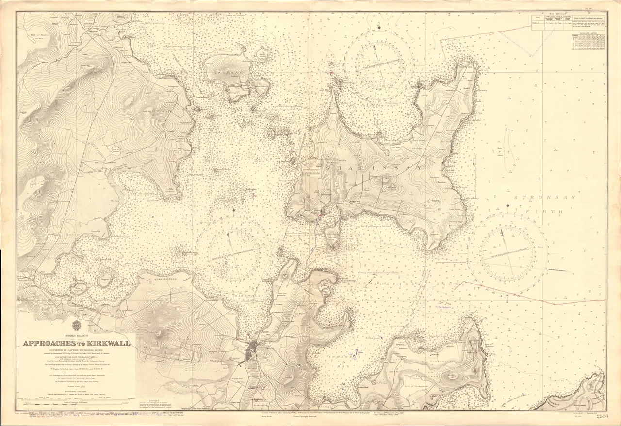
Located at 59.05 N, 2.86 W, immediately north of Kirkwall harbour. The nearest airport is Kirkwall (EGPA, also serving as Orkney's main airfield) about three miles south across the bay. Best viewed from 2,000-3,000 feet AGL, ideally on a clear day after weather has passed. The island measures about seven miles north-south by three miles east-west; the village of Balfour, with its harbour and gas-tower folly, is on the south coast facing Kirkwall. Look for the broch on the northeast corner.
Nearby Stories
- Pentland Skerries 5.4 km away
- Thurso 13 km away
- HMS Daring (H16) 42 km away
- Wolfburn Distillery 42 km away
- Orcadian Basin 55 km away
- Fair Isle 57 km away
- Jarlshof 119 km away
- The Laki Eruption: The Volcano That Changed World History 941 km away