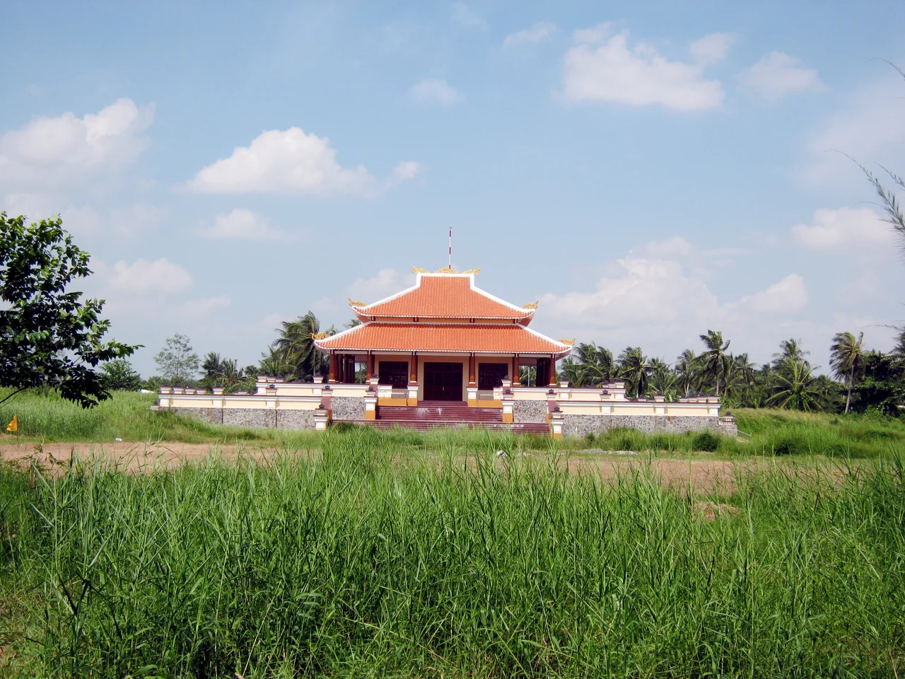

Sóc Trăng Province
The name means nothing in Vietnamese. Sóc Trăng is a Khmer phrase - ស្រុកឃ្លាំង, Srok Khleang, roughly the land of storehouses, or the place where silver is kept - repeated by Vietnamese speakers until the syllables softened into something their own language could hold. The transitional form, Sốc Kha Lang, is still recorded. What survived is a pair of ordinary Vietnamese words that happen to mean nothing together, though trăng on its own means moon, and the Nguyễn court under Minh Mạng leaned into the coincidence, awarding the district the elegant Sino-Vietnamese name Nguyệt Giang, 月江, Moon River. It was a calque of a mishearing. Underneath both lay a Khmer word about warehouses.
The People the Name Came From
They did not go anywhere. The 2019 census counted 362,029 Khmer Krom in Sóc Trăng - close to thirty per cent of the province, one of the highest concentrations in Vietnam, matched only by neighbouring Trà Vinh. The Mekong Delta belonged to the Khmer empire and the kingdom that followed it for more than eight hundred years. Vietnamese settlement began in earnest after 1623, when King Chey Chettha II permitted a Vietnamese customs house at Prey Nokor - the fishing port that would become Ho Chi Minh City - and the delta passed into Vietnamese administration over the following century. The Khmer Krom are the descendants of the people who stayed while the frontier moved across them. Roughly ninety-five per cent are Theravada Buddhist, and their wats - some two hundred across the province - remain the physical centre of village life: school, calendar, archive and monastery in one compound.
Between Two Rivers and the Sea
Sóc Trăng occupied 3,298.20 km² between 9°14' and 9°56' north, bounded by Trà Vinh to the northeast, Vĩnh Long to the north, Hậu Giang to the northwest and Bạc Liêu to the south. Seventy-two kilometres of coastline face the South China Sea. Two rivers define the interior: the Hậu, the Mekong's great lower distributary, running along the northern edge, and the smaller Mỹ Thanh in the south. Where the Hậu meets salt water it splits around Cù Lao Dung, a long silt island that is itself an entire district - the delta still visibly manufacturing land. The whole province lies barely above sea level, which makes the boundary between rice country and shrimp country a negotiation with the tide rather than a line on a map. Ho Chi Minh City is 231 km away.
Rice Pounded Flat for the Moon
On the fifteenth night of the tenth lunar month, when the harvest is in and the full moon sits directly overhead, Khmer families across the province hold Ok Om Bok. Young rice is pounded flat into cốm dẹp and laid out as an offering, thanking the moon for the harvest just gathered and asking it for the prosperity of the year ahead. Lanterns go up into the night and out onto the water, and monks build small temple-shaped rafts to float downstream. Vietnam listed the festival as national intangible cultural heritage in 2014, which is the state's way of saying what everyone in the delta already knew: this is not a minority curiosity but one of the defining events of the regional year.
Eleven Pieces
For most of its modern life the province ran on eleven district-level units - eight rural districts, two district-level towns at Vĩnh Châu and Ngã Năm, and the provincial city of Sóc Trăng - subdivided again into twelve townlets, eighty communes and sixteen wards. The names read as a catalogue of delta livelihoods: Kế Sách and Long Phú along the river, Mỹ Xuyên and Thạnh Trị inland, Cù Lao Dung out in the estuary, Trần Đề and Vĩnh Châu on the salt-water edge. It was an unglamorous administrative machine for an unglamorous and productive place, and the arrangement held, with adjustments, until it did not.
The Last Day
On 12 June 2025 the National Assembly passed Resolution 202/2025/QH15, and Sóc Trăng stopped existing. It was merged with Hậu Giang into Cần Thơ municipality, part of a nationwide consolidation that cut sixty-three provinces and cities down to thirty-four and eliminated the district level entirely. Cần Thơ now covers 6,360.83 km² with roughly 4.2 million residents across 103 commune-level units. Provinces are administrative fictions and this one had been reorganised before - it answered to Ba Xuyên under Minh Mạng, and again under a different government in the 1950s. The Khmer name that no Vietnamese dictionary can parse has outlived every one of those arrangements, and will outlive this one.
From the Air
Centred near 9.67°N, 105.83°E on the southern bank of the Hậu River, the Mekong's main lower distributary. From 4,000-6,000 ft the province reads as three bands: bright green paddy inland, a mottled zone of shrimp ponds toward the coast, and 72 km of grey-brown shoreline meeting the South China Sea. The clearest landmarks are the Hậu River itself, several kilometres wide near its mouth, and the long silt island of Cù Lao Dung splitting the estuary. Cần Thơ International (VVCT/VCA, elev. 10 ft, 3,000 m asphalt runway 06/24) lies about 26 nm north-northwest; the disused Sóc Trăng Airfield sits within the former provincial capital. Terrain is effectively flat at sea level throughout. December through March offers reliable visibility; May through October brings monsoon cloud, and the river plume stains the coastal water visibly brown for miles offshore after heavy rain.
Nearby Stories
- Giá Rai 9.3 km away
- Hậu Giang province 23 km away
- Collapse of Can Tho Bridge 32 km away
- Kiên Giang province 37 km away
- Bạc Liêu 55 km away
- Hàng Dương Cemetery 70 km away
- Con Dao 99 km away
- Thien Hau Temple, Cholon 102 km away