South Sudan
On July 9, 2011, church bells rang across Juba. Crowds danced in streets that had known little cause for celebration. After decades of civil war that killed over a million people, after a referendum in which nearly 99 percent voted yes, South Sudan became a country. It was the first new nation of the twenty-first century's second decade, and the youngest in the world. The euphoria was genuine. So was the weight of what came next -- building a state from scratch in a landlocked territory the size of France, with almost no paved roads, more than sixty distinct ethnic groups, and neighbors whose interests did not always align with its own.
A Nation Forged in Conflict
South Sudan's path to independence runs through one of Africa's longest civil wars. The conflict between the northern Sudanese government in Khartoum and the southern Sudan People's Liberation Army lasted decades, displacing millions and devastating communities across the region. The war was rooted in deep divisions: the predominantly Arab and Muslim north governed a south that was ethnically diverse, largely Christian and animist, and rich in oil but poor in everything else. When the Comprehensive Peace Agreement was signed in 2005, it set the stage for the 2011 referendum. The vote was overwhelming, but independence did not bring peace. Relations between the two Sudans remain tense, tangled in disputes over oil transit fees through Port Sudan on the Red Sea -- South Sudan's only route to global markets -- and the contested, oil-rich Abyei District that straddles their border.
The Sudd and the White Nile
From the air, South Sudan's defining feature is water. The White Nile threads through the country's heart, and where it spreads across the flat clay plains, it creates the Sudd -- one of the largest wetland systems on Earth. During the rainy season, this vast swamp can expand to cover an area larger than England, a labyrinth of papyrus, floating islands, and channels where hippos surface among water hyacinth. The Sudd sustains the Nuer and Dinka cattle herders who have lived along its margins for centuries, their lives shaped by the annual rhythm of flood and retreat. South Sudan's climate swings between extremes: the rainy season brings high humidity and torrential downpours, while the dry months bake the land and turn unpaved roads to dust. During the rains, from July through October, many roads become impassable -- a fact that defines travel, trade, and life across the country.
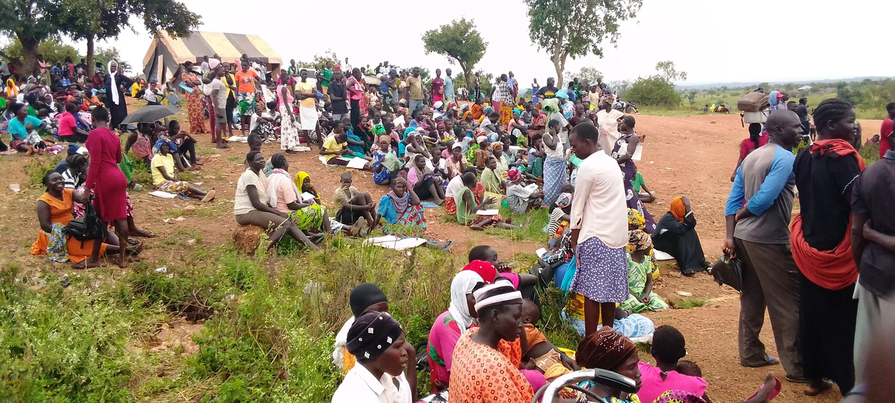
Sixty Nations Under One Flag
More than sixty indigenous ethnic groups call South Sudan home. The Dinka, comprising roughly 40 percent of the population, are the largest, but the human tapestry includes Nuer, Shilluk, Zande, Bari, and dozens of others, each with distinct languages, traditions, and histories. English and Juba Arabic serve as the official languages of government, but Dinka is the most widely spoken tongue. This diversity is South Sudan's richness and its challenge. The capital, Juba, sits on the banks of the White Nile, a sprawling, chaotic city where the architecture ranges from colonial-era structures to makeshift markets that pulse with commerce. Jebel Kujur, a 684-meter rock formation, rises above the city and offers hikers a panoramic view -- though security should be checked before the climb.
Wild Frontiers
South Sudan harbors some of Africa's most extraordinary and least-visited wildlife. Boma National Park and Nimule National Park, which sits along the Ugandan border, protect ecosystems that include what scientists have documented as one of the largest mammal migrations on the planet -- vast herds of white-eared kob and tiang antelope moving across the southeastern plains. These migrations rival the Serengeti's, yet they remain almost unknown to the outside world. The country's isolation, the legacy of war, and the near-total absence of tourism infrastructure mean that South Sudan's wilderness areas exist in a state that is simultaneously fragile and untouched. For adventurous visitors who reach Nimule, the park offers sightings of East African wildlife against a backdrop few outsiders have witnessed.
Tastes of a Young Nation
South Sudanese cuisine reflects both the land and its crossroads position between East and Central Africa and the Arab world. Kisra, the national dish, is a sorghum pancake -- darker and more fermented than Ethiopian injera, with a distinctive sour tang. It accompanies stews, grilled meats, and the hearty porridges that sustain rural communities. Kajaik, a fish stew drawn from the rivers, speaks to the country's dependence on waterways. Molokhia, made from jute mallow leaves simmered in meat broth, shows the Arab culinary influence. In the markets of Juba and Rumbek, fresh tamarind juice -- called aradeab -- and baobab fruit drinks offer relief from the heat, while clove-flavored chai and ginger coffee represent daily rituals shared across ethnic lines. These small pleasures persist despite everything, evidence that a culture can take root even in the youngest of soils.
From the Air
Located at 7.00N, 30.00E in the heart of Central/East Africa. The White Nile and the Sudd wetlands are the dominant features from altitude -- the Sudd is visible as an enormous green-brown expanse during wet season. Juba International Airport (HSSJ) is the primary entry point. Terrain is flat to gently rolling savanna. Expect tropical weather patterns with limited visibility during the July-October rainy season. Nimule National Park is near the Ugandan border to the south. Overflying at 15,000-20,000 feet provides excellent views of the Nile system and the Sudd's seasonal extent.
Nearby Stories
- 2018 South West Aviation Let L-410 crash 50 km away
- Ramciel 50 km away
- Nyal, South Sudan 65 km away
- Lakes State 74 km away
- Twic East County 90 km away
- Tonj 94 km away
- Sudd 99 km away
- Ironstone Plateau 250 km away