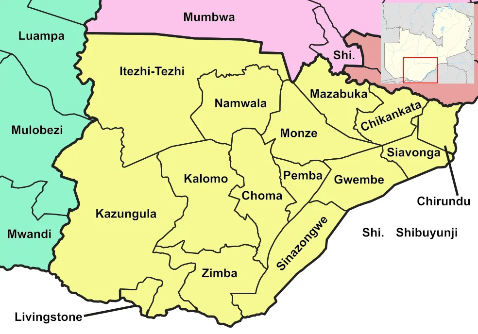
Southern Province, Zambia
The Batonga have a word for the thunder that rises from the Zambezi where it falls off the edge of the plateau: Mosi-oa-Tunya, the smoke that thunders. You can hear it from miles away, a low rumble felt in the chest before the eye picks out the plume of mist towering above the escarpment. That sound is the first thing most travelers remember about Southern Province, but it is not the whole province. Pull back on the map and Mosi-oa-Tunya is a single point on a long southern border - a border that runs along the Zambezi for hundreds of kilometers, east toward Lake Kariba and the coal country beyond. Southern Province is where Zambia's geography shows its hand.
The Breadbasket Plateau
Most Zambians who have never visited Southern Province still eat from it. The uplifted plains in the center of the province hold more commercial farmland than any other province in the country, and most of the national maize crop grows there. Drive the Lusaka-Livingstone road through Mazabuka, Monze, Pemba, Choma, and Kalomo and you pass through the spine of Zambian agriculture - sugar cane at the edge of the Kafue Flats, cattle on the drier ground, maize fields stretching to the horizon. The road and the rail line beside it are the axis of the province, the thread on which every farming town hangs. Choma has been the provincial capital since 2011, when the designation moved north from Livingstone - a quiet recognition that the province was more than its famous falls.
Water as Border
Southern Province is shaped by rivers it cannot own. The Zambezi marks its southern edge, separating Zambia from Zimbabwe. The Kafue River forms much of the northern boundary. And at the southeastern corner, Lake Kariba - formed in the late 1950s by damming the Zambezi at Kariba Gorge - runs along the province's flank. Kariba is the largest artificial lake in the world by volume; when it filled, it displaced the Batonga people whose villages had stood in the valley for generations. The communities were moved to higher ground on both sides of the border, and the lake's calm surface today hides a submerged landscape that older residents still describe from memory. The Kafue Flats, where the Kafue River slows to a shallow, seasonally flooded plain, harbor Kafue lechwe and migratory birds in numbers that can stop a traveler cold.
Kafue and the Wild Edge
The province's northwest corner reaches into Kafue National Park, the largest protected area in Zambia and one of the largest in Africa - a wilderness of miombo woodland, riverine forest, and open dambo grassland. Lions, leopards, and wild dogs move through country that sees fewer visitors than the more famous parks farther east. Farther south and west, toward the border with Western Province, the teak forests around Mulobezi supported a timber industry large enough to justify building an entire railway - the Mulobezi Railway - to haul logs out to the main line. The commercial cutting is mostly past, but the teak stands remain, tall and fire-adapted, a quieter kind of treasure.
The Coal at Maamba
Not everything in Southern Province is green. In the Zambezi valley, at Maamba, lies the only large source of fossil fuel in Zambia - a coal mine served by a branch of the railway, feeding the country's power plants and cement kilns. The mine sits in hot, low country that has always been harder to farm than the plateau above, and its presence in a province known mostly for falls and farms is a reminder that the same uplifted geology that drops the Zambezi off the escarpment also folded the rocks that became coal. Southern Province, in other words, contains nearly every landscape Zambia has: plateau farmland, flooded plain, big lake, river gorge, deep-mine valley, and the world-famous waterfall that anchors the whole of it.
From the Air
Southern Province, Zambia. Centered near 16.50°S, 27.00°E. Nearest airports: Harry Mwanga Nkumbula International at Livingstone (FLLI) and Kenneth Kaunda International at Lusaka (FLKK). Recommended altitude 15,000-30,000 ft. Look for the plume of mist rising from Victoria Falls on the southern border, and the long sinuous shape of Lake Kariba to the southeast.
Nearby Stories
- Gwisho Hot-Springs 42 km away
- Mazabuka 50 km away
- Itezhi-Tezhi Dam 59 km away
- Rhodesia (region) 117 km away
- Big Tree at Victoria Falls 146 km away
- Kafue National Park 147 km away
- Victoria Falls 175 km away
- Air Rhodesia Flight 825 177 km away