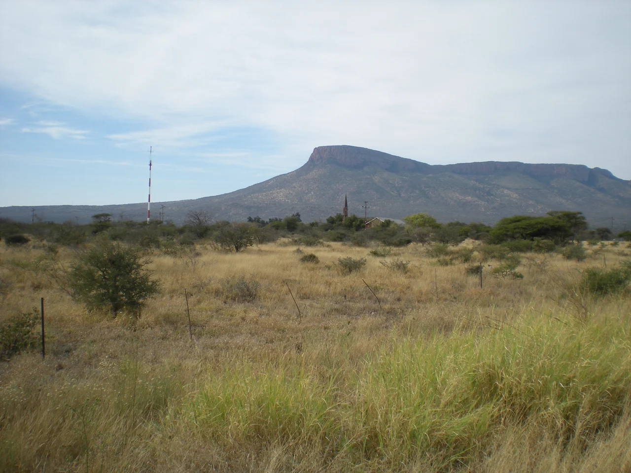

Soutpansberg
The whole range had no single name. To the Venda who have lived in its folds for centuries, the Soutpansberg was never one mountain but many, known instead by its sub-ranges, Dzanani, Songozwi, and the rest, each a place in its own right. The name it carries today comes from elsewhere: Afrikaans for "Salt Pan Mountain", after a salt pan at its western end where trekkers once gathered. Stretching some 107 kilometres west to east across the far north of Limpopo, it is the last high ground before South Africa runs out, and for its modest size it is one of the most astonishingly alive places on the continent.
An Improbable Abundance
The numbers are hard to believe for a range this small. Botanists have recorded somewhere between 2,500 and 3,000 vascular plant species on the Soutpansberg, two dozen of them found nowhere else on Earth, and nearly six hundred species of tree native to the mountain or its immediate slopes. The reptiles are stranger still: at least 116 species, more than a third of every reptile known in all of South Africa, packed into a sliver of ridge and forest, roughly the same count as the entire vast Kruger National Park. The mountain is so distinct that creatures carry its name, the Soutpansberg rock lizard, worm lizard, dwarf gecko and flat lizard, each endemic to these slopes. The secret is collision: tropical, Kalahari, coastal and Afromontane plant communities all reach their limits here and overlap, layering ecosystems on top of one another.
The Sacred Lake
On the mountain's wetter flanks lies Lake Fundudzi, one of the few true inland lakes in South Africa, formed perhaps twenty thousand years ago when a landslide dammed the Mutale River. To the Venda it is profoundly sacred. They hold that a great python god, the deity of fertility, lives in its waters and decides each year whether the crops will thrive, and that the lake's colour and level mirror the mood of the ancestors. Visitors are traditionally expected to greet it through a ritual called ukodola: turning their backs and viewing the water bent over, looking through their own legs, as a gesture of respect. The python is honoured each year in the Domba, the famous chain dance in which young women move in a long sinuous line, the snake made human. Above the lake stands the holy forest of Thathe Vondo, where Venda chiefs were laid to rest for generations and where outsiders do not lightly walk.
Trekkers and the Salt Pan
The first European to reach and name the mountain was Coenraad de Buys, a colonist who fled north after a failed rebellion in 1795 and settled near the range in 1820, founding a mixed-race clan, the Buysvolk, whose descendants still live at Buysdorp. The Voortrekker leader Louis Tregardt camped at the salt pan through the winter of 1836 before pushing on toward the sea. In 1848 a settlement called Zoutpansbergdorp rose on the site of one of Tregardt's old camps; the trek leader Andries Potgieter died there in 1852. The frontier town would shift, fade and be renamed more than once, but the mountain it sheltered under stayed exactly where it was, indifferent to the politics churning at its feet.
A Mountain Under UNESCO's Eye
In 2009 the Soutpansberg became the spine of the Vhembe Biosphere Reserve, a UNESCO-designated mosaic that also gathers in the Blouberg Range, the Kruger National Park and the Mapungubwe Cultural Landscape, the site of a medieval African kingdom that traded gold and ivory eight centuries ago. The recognition matters, because the mountain is under pressure: from logging and clearing, from expanding settlement, from poaching and pollution that nibble at the edges of all that endemism. The Soutpansberg is the kind of place whose value is easy to overlook precisely because it is small and remote, a low range in a far corner of the country. But measured by the sheer density of life it holds, and the depth of belief it has anchored, there is little to compare with it anywhere in southern Africa.
From the Air
The Soutpansberg runs roughly east-west near 23.0°S, 29.87°E across the Vhembe District of far northern Limpopo, South Africa, its highest point Lajuma reaching 1,747 m. The range is cut by two passes: the Waterpoort in the west and Wyllie's Poort, where the N1 highway threads from Louis Trichardt (Makhado) toward Musina and the Zimbabwe border. Lake Fundudzi and the Thathe Vondo forest sit on the eastern, wetter slopes (note these are culturally restricted sites). Nearest airport is Polokwane International (ICAO FAPP) to the south; Musina lies near the northern border. Expect orographic cloud and mist on the southern faces, with the driest, clearest flying conditions in winter.
Nearby Stories
- Sunland Baobab 68 km away
- Mapungubwe National Park 71 km away
- Makapansgat 106 km away
- 2024 Mmamatlakala Bus Crash 133 km away
- Blyde River Canyon Nature Reserve 153 km away
- Kruger National Park 175 km away
- Matobo National Park 246 km away
- Manyikeni 477 km away