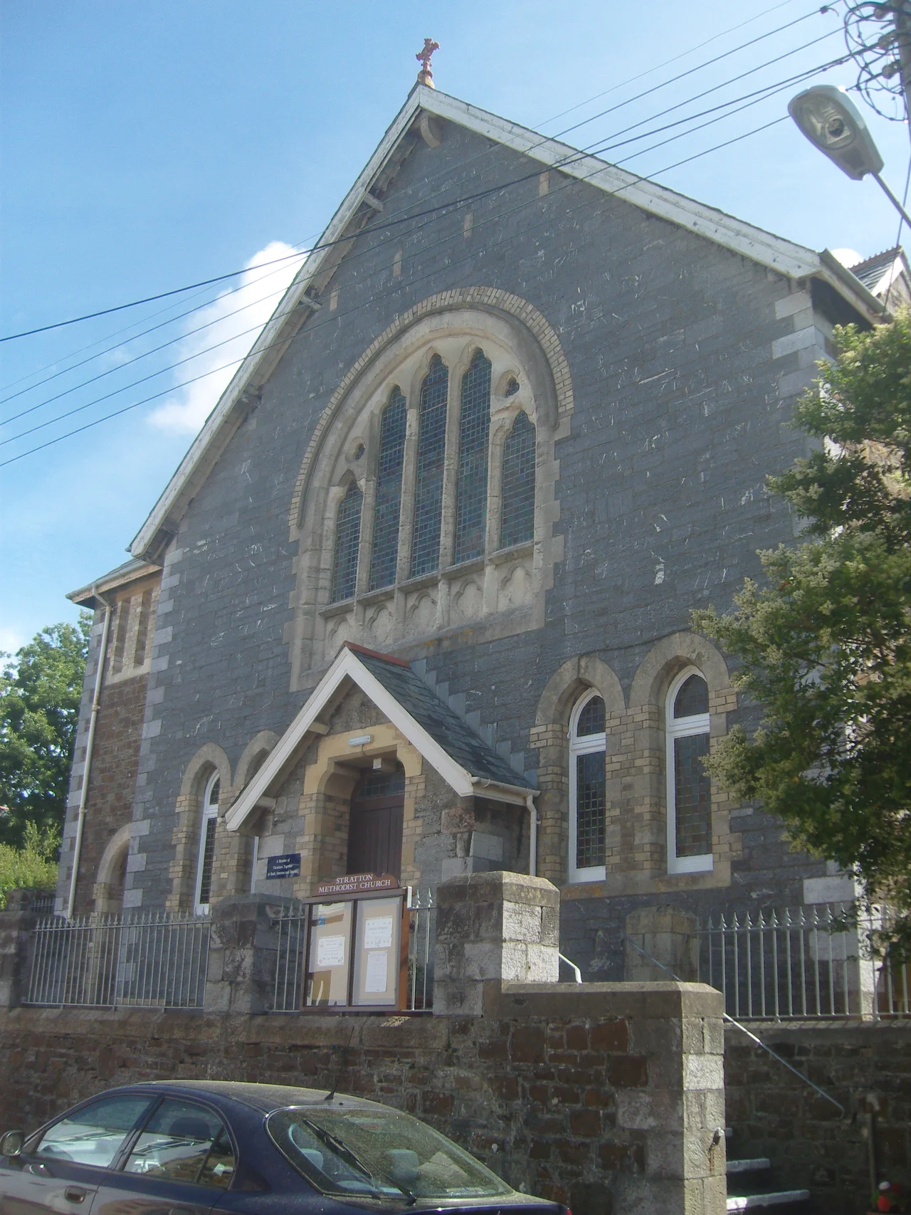

Stratton
On the morning of the 16th of May 1643, two thousand four hundred Cornish Royalist infantry climbed the slopes of Stamford Hill above Stratton, marching uphill into a Parliamentarian force more than twice their size and dug into the heights. They had no business winning. The Earl of Stamford had five thousand four hundred foot, fifteen hundred horse, the better ground, the better artillery. The Royalists, under Sir Ralph Hopton with Sir Bevil Grenville leading from the front, advanced anyway, on four converging columns up four sides of the hill. By the end of the day Hopton had destroyed the entire Parliamentarian field army of the South West. Three hundred of Stamford's men lay dead. Seventeen hundred had surrendered. The Royalists lost about ninety. Stamford Hill still rises above Stratton today, marked, scarred, listed as a registered battlefield, looking exactly like the kind of place where a smaller army should never have won.
Strad-Neth
The name Stratton is older than the battle by something close to a millennium. It comes from the Cornish Strad-Neth — strad meaning the flat-bottomed valley of a river, Neth being the river itself. The same root produced Neath in South Wales and the Nidd in northern England, all of them places named for a body of water whose name probably meant "shining" or "brilliant" in some pre-Celtic tongue no one alive can speak. King Alfred mentioned Strætneat in his will around 880. The Domesday Book recorded it in 1086, with thirty ploughs, thirty villeins, twenty smallholders, twenty enslaved labourers, ten salt-houses, three hundred sheep, and a valuation of thirty-five pounds. The river running through it is today called the Strat — back-formed from the name of the town, which had been named for the river, which had been named for the river, in a perfect circular etymology that the original speakers would have found amusing.
Head of the Hundred
Cornwall in Saxon times had only nine hundreds — administrative districts for collecting taxes and dispensing justice — and Stratton was the head of its own. The Stratton Hundred covered Kilkhampton, Marhamchurch, Boyton, Jacobstow, Whitstone, Stratton itself, Poughill, Bridgerule, Week St Mary, Launcells, North Tamerton and Morwenstow. Each hundred had its own court. Stratton's was the only one in its district, which meant for centuries that anyone in this corner of Cornwall accused of a serious crime came here to be tried. The jail is gone now, demolished. The courthouse has been split into two houses. The police station was moved to Bude, the town that eventually eclipsed Stratton entirely. But the jail door, marked CLINK in heavy iron letters, is still set into the porch of St Andrew's church, where it has been for over a hundred years.
The Twelfth-Century Church
St Andrew's itself was built in the twelfth century — Norman work, raised on the high ground in the centre of the town. It is Grade I listed today. Inside is a brass memorial to Admiral Sir John Arundell of Trerice, dated 1561, one of the great Cornish admirals of the Tudor period. He fought in the wars against France, served under Henry VIII and Mary I, and is buried in the church his family controlled the patronage of for centuries. The size of the church and the surviving tithe barn nearby — large enough to store a tenth of every household's annual produce — both point to a population substantially larger than the two thousand who live in Stratton today. The Cot Hill area on the north of town was a sanctuary on the pilgrimage route to Hartland during the Middle Ages, and Stratton was, in those years, a place pilgrims stopped.
Eclipse by Bude
Stratton was, until well into the nineteenth century, the more important town. Bude, a mile and a half down the road, was a small fishing harbour. In 1844, Stratton had six shoemakers; Bude had one. By 1900 the relative positions had inverted completely. The Bude Canal had opened in 1823. The railway reached Bude in 1898. The seaside trade boomed in the Victorian era while Stratton, inland and trade-dependent, watched its markets shrink. The killing blow was civic, not commercial: a New Road in the early twentieth century directed traffic away from Stratton's centre, and the Stratton bypass of 1950 finished the job. After 1966 the railway closed entirely. Stratton and Bude became the two most railway-distant towns in England. But it was Bude that the visitors came to. Stratton kept its hospital, its church, its quiet streets — and a stillness that has the feeling of a town that used to be the main event.
Stamford Hill
The Battle of Stratton is what most people now come here to learn about, if they come at all. Hopton's Royalist army marched up from Launceston on the night of the 15th of May, encamped on the lower slopes, and at five in the morning advanced in four columns toward the Parliamentarian position on the summit. Major-General James Chudleigh led a Parliamentarian counter-charge that knocked Bevil Grenville to the ground at push of pike. Grenville stood up and kept fighting. Sir John Berkeley's musketeers returned fire and broke the charge. By three in the afternoon the four Royalist columns had met on the summit, and the Parliamentarian army was disintegrating downhill. The Earl of Stamford rode off to Exeter. His army did not. Within months the Royalists had secured the entire South West for the King. Sir Bevil Grenville, who had survived being knocked down at Stratton, was killed at Lansdown six weeks later. The hill above the town is still called Stamford Hill, after the man who lost it.
From the Air
Stratton sits at 50.83 degrees north, 4.51 degrees west, about a mile and a half inland from Bude on the north coast of Cornwall. Recommended viewing altitude is 1,500 to 2,500 feet for the best view of Stamford Hill above the town and the registered battlefield site. The hill rises clearly above the surrounding countryside and is unmistakable in good visibility — the battlefield is on its southern slope. The A39 Atlantic Highway passes east of town. Newquay (EGHQ) is about 35 nautical miles south. Land's End (EGHC) is further. Expect maritime weather: cool, often damp, with frequent low cloud over the high ground in the spring and autumn.
Nearby Stories
- Grimspound 2.5 km away
- Exmoor National Park 8.3 km away
- Padstow 9.7 km away
- The Hurlers (stone circles) 13 km away
- Lundy 19 km away
- Castle Drogo 22 km away
- HMHS Glenart Castle 27 km away
- Action of 17 November 1917 52 km away